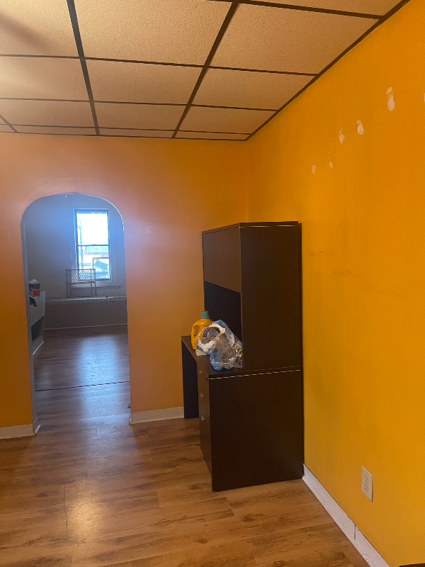
9 E Main St Unit 2
Mount Pleasant, PA 15666
-
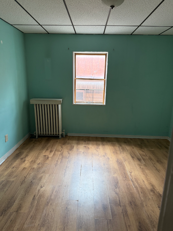
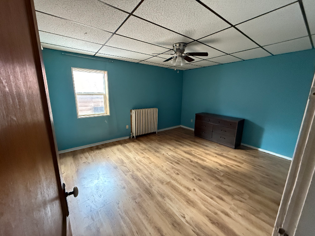
Bedrooms
2
-
Bathrooms
1
-
Square Feet
--
-
Available
Available Apr 1
Highlight
- Pets Allowed

About This Home
Property Id: 1798917 Rental requirements Monthly income 3x the rent Clean rental history 600 credit score with exceptions
9 E Main St is an apartment community located in Westmoreland County and the 15666 ZIP Code.
Features
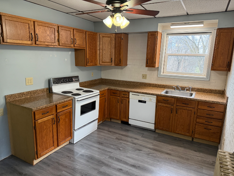
- Dishwasher
- Oven
- Vinyl Flooring
- Lawn
Fees and Policies
The fees below are based on community-supplied data and may exclude additional fees and utilities.
- Dogs Allowed
-
Fees not specified
- Cats Allowed
-
Fees not specified
Details
Utilities Included
-
Water
-
Trash Removal
-
Sewer
Contact
- Phone Number
- Contact
-
Source

- Dishwasher
- Oven
- Vinyl Flooring
- Lawn
Nestled in Westmoreland County, Mount Pleasant is a historic borough brimming with small-town charm. Main Street sits at the heart of the community, boasting an array of independent shops and eateries in historic red-brick storefronts.
Mount Pleasant is the oldest borough in Westmoreland County, honoring its heritage with a slew of well-preserved buildings and historic monuments. Residents delight in Mount Pleasant’s affordable apartments, close-knit community, and relative proximity to area destinations such as Bridgeport Dam Park and Greendance the Winery at Sandhill. Convenience to U.S. Route 119 and Interstate 76 connects Mount Pleasant to Pittsburgh and beyond.
Learn more about living in Mount Pleasant| Colleges & Universities | Distance | ||
|---|---|---|---|
| Colleges & Universities | Distance | ||
| Drive: | 16 min | 8.8 mi | |
| Drive: | 24 min | 11.2 mi | |
| Drive: | 24 min | 15.9 mi | |
| Drive: | 31 min | 16.0 mi |
Transportation options available in Mount Pleasant include Library, located 35.2 miles from 9 E Main St Unit 2. 9 E Main St Unit 2 is near Arnold Palmer Regional, located 13.6 miles or 26 minutes away.
| Transit / Subway | Distance | ||
|---|---|---|---|
| Transit / Subway | Distance | ||
|
|
Drive: | 59 min | 35.2 mi |
|
|
Drive: | 61 min | 36.8 mi |
|
|
Drive: | 61 min | 37.0 mi |
|
|
Drive: | 62 min | 37.4 mi |
|
|
Drive: | 63 min | 37.8 mi |
| Commuter Rail | Distance | ||
|---|---|---|---|
| Commuter Rail | Distance | ||
|
|
Drive: | 17 min | 12.0 mi |
|
|
Drive: | 22 min | 15.3 mi |
|
|
Drive: | 35 min | 19.0 mi |
|
|
Drive: | 56 min | 42.0 mi |
|
|
Drive: | 72 min | 42.5 mi |
| Airports | Distance | ||
|---|---|---|---|
| Airports | Distance | ||
|
Arnold Palmer Regional
|
Drive: | 26 min | 13.6 mi |
Time and distance from 9 E Main St Unit 2.
| Shopping Centers | Distance | ||
|---|---|---|---|
| Shopping Centers | Distance | ||
| Walk: | 1 min | 0.1 mi | |
| Walk: | 9 min | 0.5 mi | |
| Drive: | 15 min | 5.1 mi |
| Parks and Recreation | Distance | ||
|---|---|---|---|
| Parks and Recreation | Distance | ||
|
Bridgeport Dam Park
|
Drive: | 4 min | 1.6 mi |
|
Chestnut Ridge Park
|
Drive: | 11 min | 6.5 mi |
|
Mammoth County Park
|
Drive: | 17 min | 8.9 mi |
|
Sewickley Creek Wetlands
|
Drive: | 13 min | 9.0 mi |
| Hospitals | Distance | ||
|---|---|---|---|
| Hospitals | Distance | ||
| Drive: | 3 min | 1.2 mi | |
| Drive: | 17 min | 11.7 mi |
| Military Bases | Distance | ||
|---|---|---|---|
| Military Bases | Distance | ||
| Drive: | 76 min | 57.0 mi |
You May Also Like
What Are Walk Score®, Transit Score®, and Bike Score® Ratings?
Walk Score® measures the walkability of any address. Transit Score® measures access to public transit. Bike Score® measures the bikeability of any address.
What is a Sound Score Rating?
A Sound Score Rating aggregates noise caused by vehicle traffic, airplane traffic and local sources

9 E Main St
Mount Pleasant, PA 15666