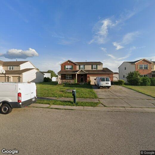
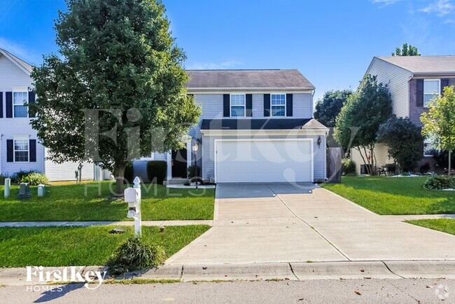
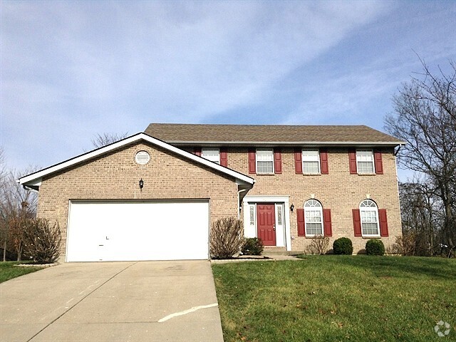
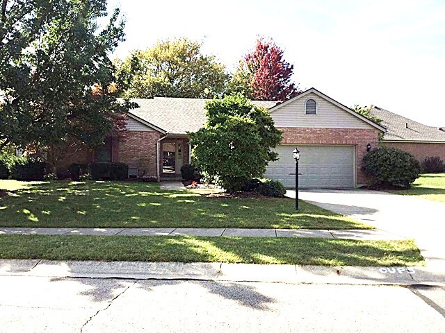
907 Greenwood Ct
907 Greenwood Ct
Trenton, OH 45067
2 Weeks Ago
Favorites
907 Greenwood Ct

Favorites
Check Back Soon for Upcoming Availability
Property Address:
907 Greenwood Ct,
Trenton,
OH
45067
Trenton is a small city in southwest Ohio, positioned about halfway between Cincinnati and Dayton on the west bank of the Great Miami River. The community’s landscape is almost entirely composed of residential neighborhoods, with the local rental market featuring a mix of budget-friendly apartments, condos, and single-family homes. State Street forms the main commercial corridor of the area, lined with locally-owned cafes, pubs, and specialty shops as it runs through the city. Located about 45 minutes away from two of Ohio’s biggest cities, Trenton is a great option for commuters seeking more of a small-town environment at home.
Learn more about living in Trenton
Education
| Colleges & Universities | Distance | ||
|---|---|---|---|
| Colleges & Universities | Distance | ||
| Drive: | 20 min | 9.8 mi | |
| Drive: | 23 min | 11.2 mi | |
| Drive: | 28 min | 15.7 mi | |
| Drive: | 42 min | 23.1 mi |
907 Greenwood Ct is within 20 minutes or 9.8 miles from Miami University Middletown. It is also near Miami University Hamilton and Miami University.
Transportation options available in Trenton include Brewery District Station, Elm & Henry, located 33.8 miles from 907 Greenwood Ct. 907 Greenwood Ct is near James M Cox Dayton International, located 44.4 miles or 65 minutes away, and Cincinnati/Northern Kentucky International, located 47.8 miles or 79 minutes away.
| Transit / Subway | Distance | ||
|---|---|---|---|
| Transit / Subway | Distance | ||
| Drive: | 55 min | 33.8 mi | |
| Drive: | 56 min | 33.9 mi | |
| Drive: | 56 min | 34.0 mi | |
| Drive: | 56 min | 34.0 mi | |
| Drive: | 56 min | 34.1 mi |
| Commuter Rail | Distance | ||
|---|---|---|---|
| Commuter Rail | Distance | ||
|
|
Drive: | 55 min | 33.7 mi |
| Airports | Distance | ||
|---|---|---|---|
| Airports | Distance | ||
|
James M Cox Dayton International
|
Drive: | 65 min | 44.4 mi |
|
Cincinnati/Northern Kentucky International
|
Drive: | 79 min | 47.8 mi |
Time and distance from 907 Greenwood Ct.
| Shopping Centers | Distance | ||
|---|---|---|---|
| Shopping Centers | Distance | ||
| Drive: | 4 min | 1.2 mi | |
| Drive: | 6 min | 2.2 mi | |
| Drive: | 10 min | 4.7 mi |
907 Greenwood Ct has 3 shopping centers within 4.7 miles, which is about a 10-minute drive. The miles and minutes will be for the farthest away property.
| Parks and Recreation | Distance | ||
|---|---|---|---|
| Parks and Recreation | Distance | ||
|
Twin Creek MetroPark
|
Drive: | 27 min | 13.7 mi |
|
Maud Hughes Incline Park
|
Drive: | 23 min | 13.9 mi |
|
Liberty Park
|
Drive: | 26 min | 14.6 mi |
|
Wilhelmina Park
|
Drive: | 28 min | 15.0 mi |
907 Greenwood Ct has 4 parks within 15.0 miles, including Maud Hughes Incline Park, Liberty Park, and Twin Creek MetroPark.
| Hospitals | Distance | ||
|---|---|---|---|
| Hospitals | Distance | ||
| Drive: | 22 min | 10.5 mi |
907 Greenwood Ct is 10.5 miles and a 22 minute drive from Fort Hamilton Hughes Memorial Hospital.
| Military Bases | Distance | ||
|---|---|---|---|
| Military Bases | Distance | ||
| Drive: | 51 min | 33.4 mi | |
| Drive: | 57 min | 38.5 mi | |
| Drive: | 60 min | 41.8 mi |
907 Greenwood Ct has 3 military bases within 41.8 miles, the nearest is Gentile Air Force Station which is 33.4 miles away and a 51 minute drive.
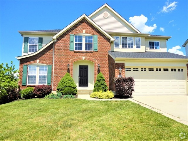
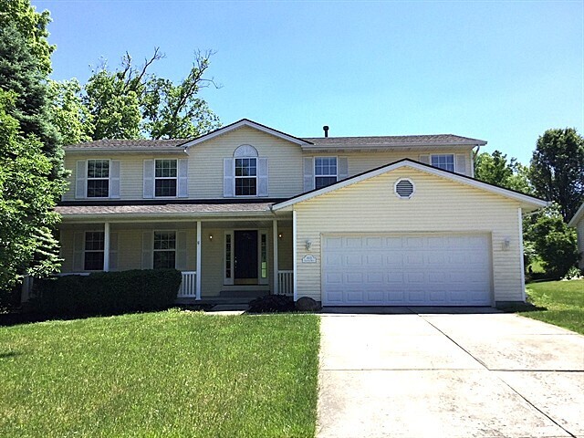
You May Also Like
Similar Rentals Nearby
-
-

-

-
-
-
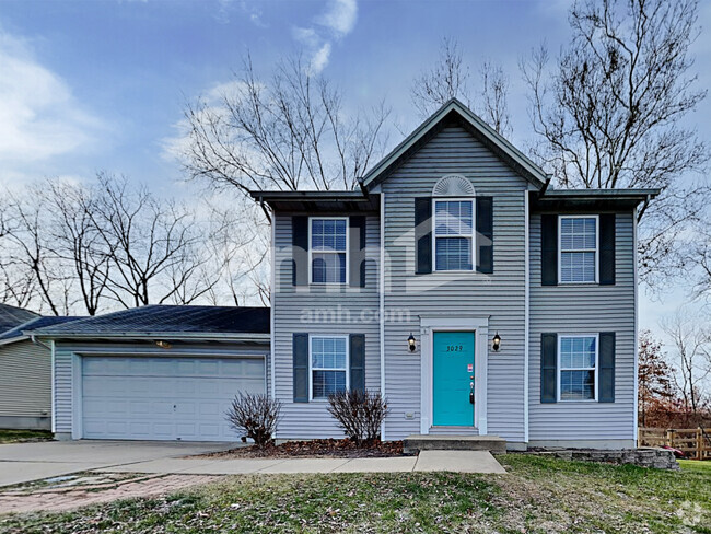
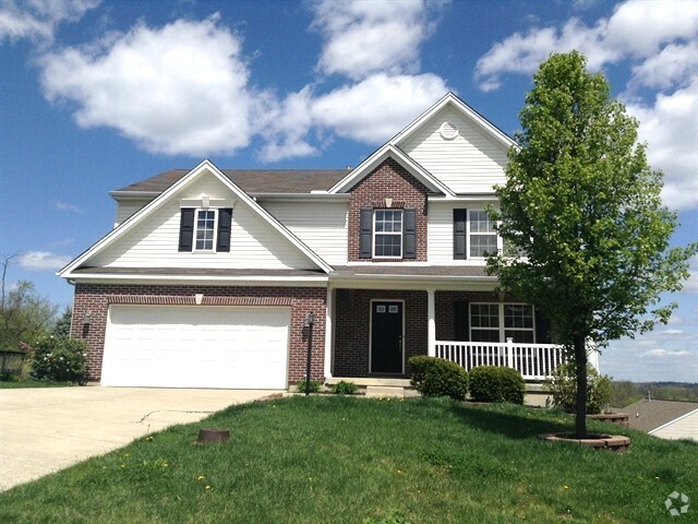
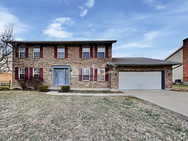
 $2,8754 Beds, 2.5 Baths, 3,072 sq ftHouse for Rent
 -
-
-
-
What Are Walk Score®, Transit Score®, and Bike Score® Ratings?
Walk Score® measures the walkability of any address. Transit Score® measures access to public transit. Bike Score® measures the bikeability of any address.
What is a Sound Score Rating?
A Sound Score Rating aggregates noise caused by vehicle traffic, airplane traffic and local sources