

933 Los Robles Ave
933 Los Robles Ave,
Pasadena,
CA
91104
2 Weeks Ago
Favorites
933 Los Robles Ave

Favorites
Check Back Soon for Upcoming Availability
Fees and Policies
Details
Property Information
-
Built in 1965
-
12 units/2 stories
Property Address:
933 Los Robles Ave,
Pasadena,
CA
91104
Near the San Gabriel Mountains, where I-210 meets State Route 134 and becomes the Foothill Freeway, rests Pasadena’s Garfield Heights neighborhood. Primarily a residential area, Garfield Heights contains a number of markets, churches, and temples. Garfield Heights residents enjoy access to neighboring parks such as La Pintoresca Park and City of Pasadena Robinson Park.
There are a host of amenities located within close proximity to Garfield Heights. Among the many amenities are the Rose Bowl Stadium, Kidspace Children’s Museum, Norton Simon Museum, Brookside Golf and Country Club, Pasadena Convention Center, Paseo Colorado, and the California Institute of Technology.
Served by several Metro Local lines and Pasadena Transit routes, getting around Garfield Height is a breeze.
Learn more about living in Garfield HeightsBelow are rent ranges for similar nearby apartments
Education
| Colleges & Universities | Distance | ||
|---|---|---|---|
| Colleges & Universities | Distance | ||
| Walk: | 21 min | 1.1 mi | |
| Drive: | 5 min | 2.5 mi | |
| Drive: | 6 min | 2.8 mi | |
| Drive: | 6 min | 3.1 mi |
933 Los Robles Ave is within 21 minutes or 1.1 miles from Fuller Theological Seminary. It is also near Pasadena City College and Caltech.
Schools
Public Elementary School
Grades K-5
628 Students
Nearby
5
Out of 10
Public Elementary School
Grades K-6
454 Students
Nearby
8
Out of 10
Public Elementary School
Grades K-6
230 Students
Nearby
5
Out of 10
Public Elementary School
Grades K-5
406 Students
Attendance Zone
5
Out of 10
Public Middle School
Grades 6-8
513 Students
Attendance Zone
3
Out of 10
Public High School
Grades 9-12
1,012 Students
Attendance Zone
4
Out of 10
Private Elementary & Middle School
Grades PK-8
87 Students
Nearby
Private Elementary School
Grades K-5
31 Students
Nearby
Private Middle & High School
Grades 6-12
6 Students
Nearby
School data provided by
GreatSchools
The GreatSchools Rating helps parents compare schools within a state based on a variety of school quality indicators and provides a helpful picture of how effectively each school serves all of its students. Ratings are on a scale of 1 (below average) to 10 (above average) and can include test scores, college readiness, academic progress, advanced courses, equity, discipline and attendance data. We also advise parents to visit schools, consider other information on school performance and programs, and consider family needs as part of the school selection process.
Transportation options available in Pasadena include Memorial Park Station, located 1.4 miles from 933 Los Robles Ave. 933 Los Robles Ave is near Bob Hope, located 17.4 miles or 23 minutes away, and Los Angeles International, located 26.2 miles or 41 minutes away.
| Transit / Subway | Distance | ||
|---|---|---|---|
| Transit / Subway | Distance | ||
|
|
Drive: | 3 min | 1.4 mi |
|
|
Drive: | 4 min | 1.8 mi |
|
|
Drive: | 3 min | 1.8 mi |
|
|
Drive: | 4 min | 2.3 mi |
|
|
Drive: | 5 min | 2.6 mi |
| Commuter Rail | Distance | ||
|---|---|---|---|
| Commuter Rail | Distance | ||
|
|
Drive: | 13 min | 9.9 mi |
|
|
Drive: | 18 min | 11.1 mi |
|
|
Drive: | 20 min | 11.2 mi |
|
|
Drive: | 20 min | 11.3 mi |
| Drive: | 22 min | 15.2 mi |
| Airports | Distance | ||
|---|---|---|---|
| Airports | Distance | ||
|
Bob Hope
|
Drive: | 23 min | 17.4 mi |
|
Los Angeles International
|
Drive: | 41 min | 26.2 mi |
Time and distance from 933 Los Robles Ave.
| Shopping Centers | Distance | ||
|---|---|---|---|
| Shopping Centers | Distance | ||
| Walk: | 5 min | 0.3 mi | |
| Walk: | 15 min | 0.8 mi | |
| Walk: | 19 min | 1.0 mi |
933 Los Robles Ave has 3 shopping centers within 1.0 mile, which is about a 19-minute walk. The miles and minutes will be for the farthest away property.
| Parks and Recreation | Distance | ||
|---|---|---|---|
| Parks and Recreation | Distance | ||
|
Kidspace Children's Museum
|
Drive: | 5 min | 1.9 mi |
|
Jet Propulsion Laboratory
|
Drive: | 5 min | 3.0 mi |
|
Eaton Canyon Nature Center
|
Drive: | 8 min | 3.7 mi |
|
Huntington Botanical Gardens
|
Drive: | 9 min | 3.9 mi |
|
Descanso Gardens
|
Drive: | 11 min | 6.4 mi |
933 Los Robles Ave has 5 parks within 6.4 miles, including Kidspace Children's Museum, Jet Propulsion Laboratory, and Eaton Canyon Nature Center.
| Hospitals | Distance | ||
|---|---|---|---|
| Hospitals | Distance | ||
| Drive: | 4 min | 2.4 mi | |
| Drive: | 7 min | 4.3 mi | |
| Drive: | 11 min | 5.6 mi |
933 Los Robles Ave has 3 hospitals within 5.6 miles, the nearest is Huntington Memorial Hospital which is 2.4 miles away and a 4 minutes drive.
| Military Bases | Distance | ||
|---|---|---|---|
| Military Bases | Distance | ||
| Drive: | 38 min | 27.7 mi | |
| Drive: | 48 min | 31.0 mi |
933 Los Robles Ave is 27.7 miles from Los Angeles Air Force Base, and is convenient to other military bases, including Los Alamitos Army Airfield.
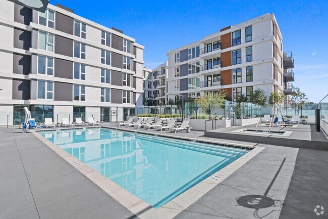
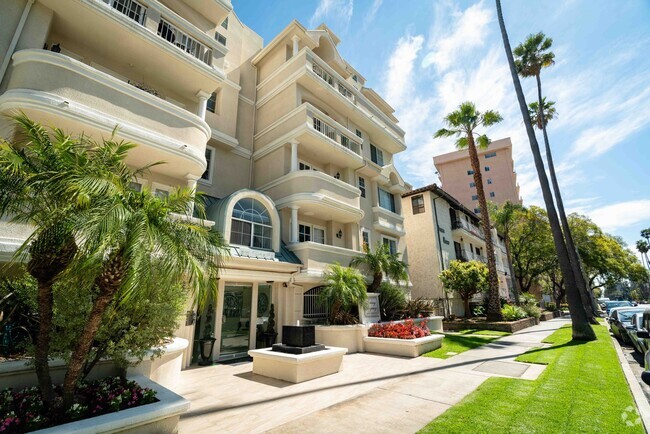
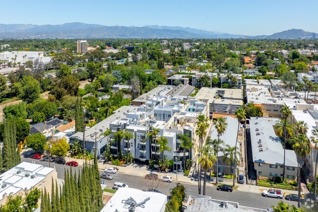
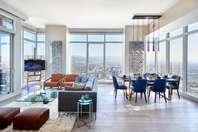
You May Also Like
What neighborhood is the property located in?
933 Los Robles Ave Pasadena, CA 91104 is in Garfield Heights in the city of Pasadena. Here you’ll find three shopping centers within 1.0 mile of the property. Five parks are within 6.4 miles, including Kidspace Children's Museum, Jet Propulsion Laboratory, and Eaton Canyon Nature Center.
Similar Rentals Nearby


What Are Walk Score®, Transit Score®, and Bike Score® Ratings?
Walk Score® measures the walkability of any address. Transit Score® measures access to public transit. Bike Score® measures the bikeability of any address.
What is a Sound Score Rating?
A Sound Score Rating aggregates noise caused by vehicle traffic, airplane traffic and local sources
Responded To This Review