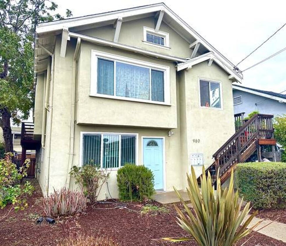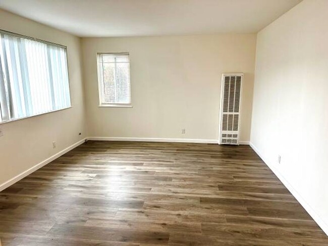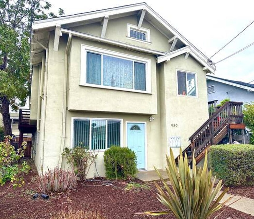

Check Back Soon for Upcoming Availability
| Beds | Baths | Average SF |
|---|---|---|
| 1 Bedroom 1 Bedroom 1 Br | 1 Bath 1 Bath 1 Ba | 580 SF |
 This Property
 Available Property
The Longfellow neighborhood sits about three miles northwest of Oakland, near the junction of the 580 Freeway and State Route 24, and three miles south of the University of California, Berkeley. Downtown San Francisco is a short 10-mile drive or a quick ride on BART away (catch the high-speed train at the MacArthur Station).
Due to its fantastic location near UC Berkeley, San Francisco, and Downtown Oakland, combined with quality schools and reasonable rents, Longfellow is considered one of Oakland's up-and-coming neighborhoods. Add in plentiful bike lanes, historic architecture, and mountain views, and apartments in Longfellow provide everything you want in the Bay area -- without the high price tag.
Learn more about living in LongfellowBelow are rent ranges for similar nearby apartments
| Beds | Average Size | Lowest | Typical | Premium |
|---|---|---|---|---|
| Studio Studio Studio | 376-379 Sq Ft | $995 | $1,916 | $4,993 |
| 1 Bed 1 Bed 1 Bed | 641 Sq Ft | $1,550 | $2,813 | $8,407 |
| 2 Beds 2 Beds 2 Beds | 971-975 Sq Ft | $2,200 | $3,626 | $6,694 |
| 3 Beds 3 Beds 3 Beds | 1415-1451 Sq Ft | $2,950 | $5,675 | $17,783 |
| 4 Beds 4 Beds 4 Beds | 2143 Sq Ft | $3,000 | $4,424 | $6,500 |
| Colleges & Universities | Distance | ||
|---|---|---|---|
| Colleges & Universities | Distance | ||
| Drive: | 3 min | 1.3 mi | |
| Drive: | 5 min | 2.1 mi | |
| Drive: | 9 min | 3.2 mi | |
| Drive: | 8 min | 3.6 mi |
Transportation options available in Oakland include 19Th St Oakland Station, located 1.9 miles from 980 Apgar St Unit C. 980 Apgar St Unit C is near Metro Oakland International, located 11.4 miles or 19 minutes away, and San Francisco International, located 23.1 miles or 35 minutes away.
| Transit / Subway | Distance | ||
|---|---|---|---|
| Transit / Subway | Distance | ||
|
|
Drive: | 4 min | 1.9 mi |
|
|
Drive: | 5 min | 2.0 mi |
|
|
Drive: | 4 min | 2.1 mi |
|
|
Drive: | 4 min | 2.2 mi |
|
|
Drive: | 7 min | 3.7 mi |
| Commuter Rail | Distance | ||
|---|---|---|---|
| Commuter Rail | Distance | ||
|
|
Drive: | 4 min | 1.6 mi |
|
|
Drive: | 7 min | 2.9 mi |
|
|
Drive: | 7 min | 4.6 mi |
| Drive: | 17 min | 10.7 mi | |
| Drive: | 18 min | 11.9 mi |
| Airports | Distance | ||
|---|---|---|---|
| Airports | Distance | ||
|
Metro Oakland International
|
Drive: | 19 min | 11.4 mi |
|
San Francisco International
|
Drive: | 35 min | 23.1 mi |
Time and distance from 980 Apgar St Unit C.
| Shopping Centers | Distance | ||
|---|---|---|---|
| Shopping Centers | Distance | ||
| Walk: | 3 min | 0.2 mi | |
| Walk: | 8 min | 0.4 mi | |
| Walk: | 8 min | 0.4 mi |
| Parks and Recreation | Distance | ||
|---|---|---|---|
| Parks and Recreation | Distance | ||
|
Morcom Rose Garden
|
Drive: | 5 min | 2.0 mi |
|
Lakeside Park Garden Center
|
Drive: | 5 min | 2.2 mi |
|
Lakeside Park
|
Drive: | 5 min | 2.6 mi |
|
San Francisco Bay Trail (at Emeryville)
|
Drive: | 4 min | 2.6 mi |
|
Rotary Nature Center
|
Drive: | 6 min | 2.9 mi |
| Hospitals | Distance | ||
|---|---|---|---|
| Hospitals | Distance | ||
| Walk: | 19 min | 1.0 mi | |
| Drive: | 3 min | 1.2 mi | |
| Drive: | 3 min | 1.3 mi |
| Military Bases | Distance | ||
|---|---|---|---|
| Military Bases | Distance | ||
| Drive: | 12 min | 4.4 mi | |
| Drive: | 14 min | 5.7 mi |
You May Also Like
Similar Rentals Nearby
What Are Walk Score®, Transit Score®, and Bike Score® Ratings?
Walk Score® measures the walkability of any address. Transit Score® measures access to public transit. Bike Score® measures the bikeability of any address.
What is a Sound Score Rating?
A Sound Score Rating aggregates noise caused by vehicle traffic, airplane traffic and local sources
