

Check Back Soon for Upcoming Availability
About Bethel Woods Apartments
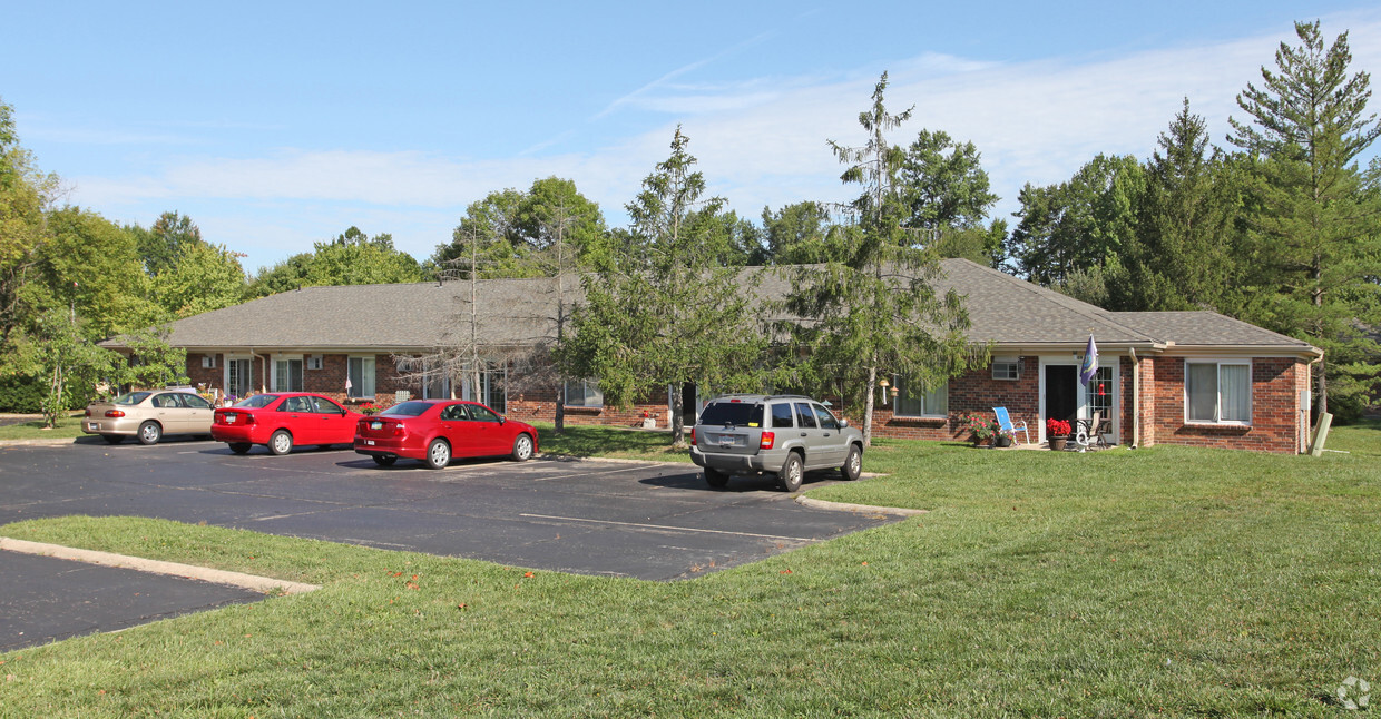
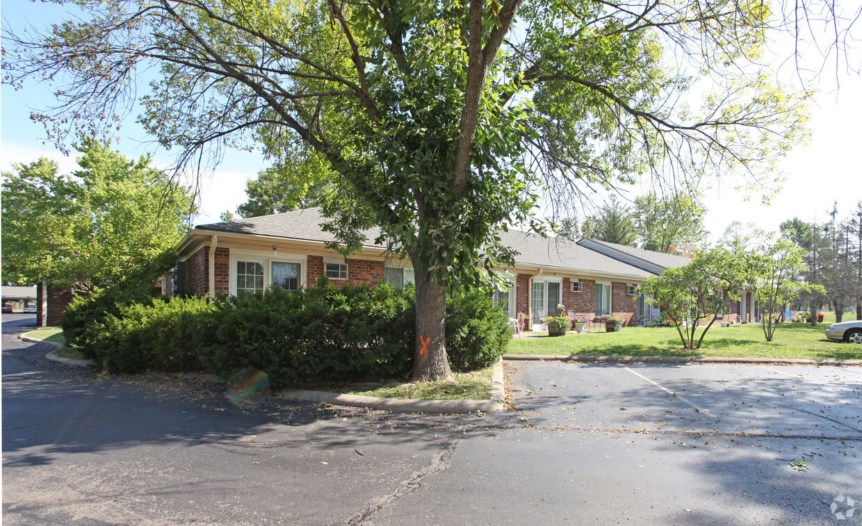
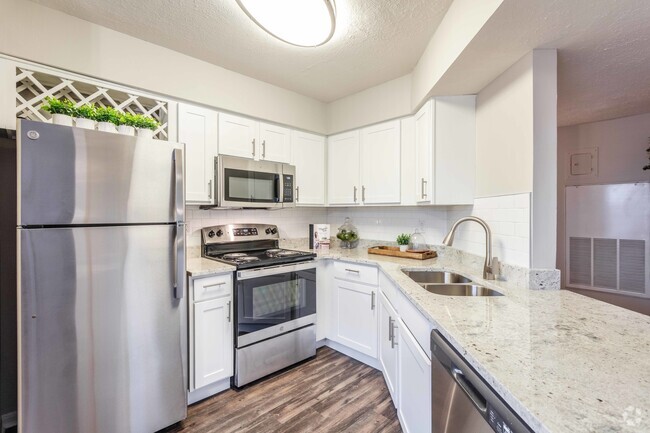
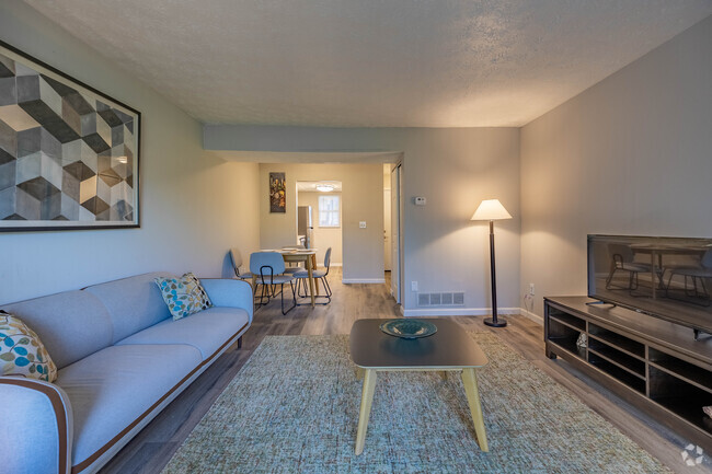
Bethel Woods Apartments offers a mixture of comfort, style and convenience. With a location on Easter Rd. in Bethel's 45106 Zip code, renters can easily connect with a number of attractions in the surrounding area. The knowledgeable leasing staff is waiting to show you all that this community has to offer. Come by to check out the apartment floorplan options. Contact us or drop by to check the availability and set up a tour today and make your move to Bethel Woods Apartments.
Bethel Woods Apartments is an apartment community located in Clermont County and the 45106 ZIP Code. This area is served by the Bethel-Tate Local attendance zone.
Fees and Policies
Details
Property Information
-
Built in 1982
-
83 units/1 story
 This Property
 Available Property
| Colleges & Universities | Distance | ||
|---|---|---|---|
| Colleges & Universities | Distance | ||
| Drive: | 28 min | 14.0 mi | |
| Drive: | 42 min | 25.9 mi | |
| Drive: | 53 min | 33.8 mi | |
| Drive: | 56 min | 36.4 mi |
Transportation options available in Bethel include Richter & Phillips Station, 6Th & Main, located 30.1 miles from Bethel Woods Apartments. Bethel Woods Apartments is near Cincinnati/Northern Kentucky International, located 38.3 miles or 62 minutes away.
| Transit / Subway | Distance | ||
|---|---|---|---|
| Transit / Subway | Distance | ||
| Drive: | 45 min | 30.1 mi | |
| Drive: | 46 min | 30.2 mi | |
| Drive: | 46 min | 30.2 mi | |
| Drive: | 46 min | 30.3 mi | |
| Drive: | 46 min | 30.4 mi |
| Commuter Rail | Distance | ||
|---|---|---|---|
| Commuter Rail | Distance | ||
|
|
Drive: | 50 min | 32.3 mi |
|
|
Drive: | 55 min | 35.7 mi |
| Airports | Distance | ||
|---|---|---|---|
| Airports | Distance | ||
|
Cincinnati/Northern Kentucky International
|
Drive: | 62 min | 38.3 mi |
Time and distance from Bethel Woods Apartments.
| Shopping Centers | Distance | ||
|---|---|---|---|
| Shopping Centers | Distance | ||
| Drive: | 4 min | 1.1 mi | |
| Drive: | 6 min | 1.6 mi | |
| Drive: | 16 min | 8.3 mi |
| Parks and Recreation | Distance | ||
|---|---|---|---|
| Parks and Recreation | Distance | ||
|
East Fork State Park
|
Drive: | 28 min | 12.7 mi |
| Hospitals | Distance | ||
|---|---|---|---|
| Hospitals | Distance | ||
| Drive: | 26 min | 14.5 mi |
| Military Bases | Distance | ||
|---|---|---|---|
| Military Bases | Distance | ||
| Drive: | 101 min | 75.5 mi | |
| Drive: | 107 min | 80.6 mi | |
| Drive: | 109 min | 83.8 mi |
You May Also Like
Similar Rentals Nearby
What Are Walk Score®, Transit Score®, and Bike Score® Ratings?
Walk Score® measures the walkability of any address. Transit Score® measures access to public transit. Bike Score® measures the bikeability of any address.
What is a Sound Score Rating?
A Sound Score Rating aggregates noise caused by vehicle traffic, airplane traffic and local sources




Responded To This Review