
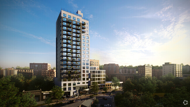
$2,800 / Month
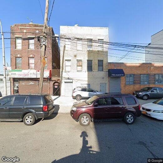
1121 Longwood Ave
The Bronx, NY 10474
2 Weeks Ago
Favorites
Commercial space on LONGWOOD AVENUE in the...

Favorites
Check Back Soon for Upcoming Availability
| Beds | Baths | Average SF |
|---|---|---|
| 1 Bedroom 1 Bedroom 1 Br | 1 Bath 1 Bath 1 Ba | — |
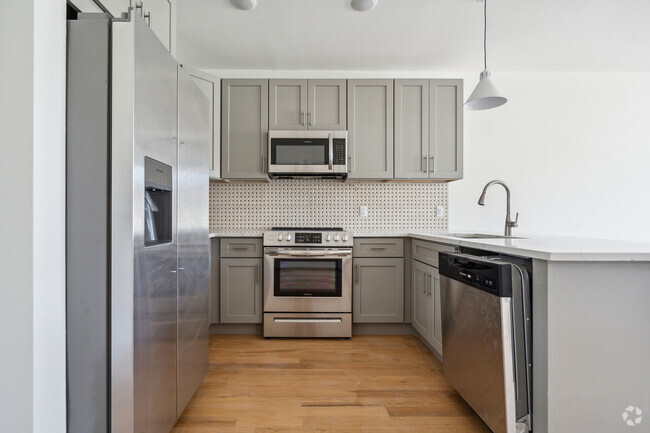
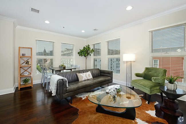
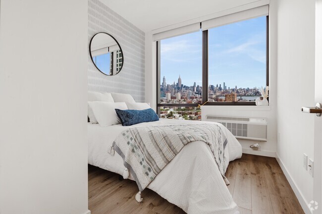
About This Property
Description coming soon, please contact your Highline Residential agent for more information===Ref:1669437===
Commercial space on LONGWOOD AVENUE in the... is an apartment community located in Bronx County and the 10474 ZIP Code.
Property Address:
1121 Longwood Ave,
The Bronx,
NY
10474
Dominated by the presence of its key industry, Hunts Point houses one of the largest food distribution facilities on the planet. A small but dense residential area comprised of apartment buildings and row houses make up the landscape of this section of the Bronx. Hunts Point has a diverse community and stands as a historic district that hosts a collection of pre-war townhouses and high stooped multi-family units. This neighborhood is steadily growing and is conveniently located only six miles northeast of Midtown Manhattan. An influx of new businesses and residents is making this neighborhood highly sought-after for its excellent location and short commute.
Learn more about living in Hunts PointBelow are rent ranges for similar nearby apartments
Education
| Colleges & Universities | Distance | ||
|---|---|---|---|
| Colleges & Universities | Distance | ||
| Drive: | 6 min | 3.3 mi | |
| Drive: | 9 min | 4.6 mi | |
| Drive: | 11 min | 4.8 mi | |
| Drive: | 10 min | 5.1 mi |
Commercial space on LONGWOOD AVENUE in the... is within 6 minutes or 3.3 miles from Hostos Community College. It is also near The City College of New York and Yeshiva University, Wilf.
Transportation options available in The Bronx include Longwood Avenue, located 0.2 mile from Commercial space on LONGWOOD AVENUE in the.... Commercial space on LONGWOOD AVENUE in the... is near Laguardia, located 6.9 miles or 14 minutes away, and John F Kennedy International, located 18.4 miles or 27 minutes away.
| Transit / Subway | Distance | ||
|---|---|---|---|
| Transit / Subway | Distance | ||
|
|
Walk: | 3 min | 0.2 mi |
|
|
Walk: | 10 min | 0.5 mi |
|
|
Walk: | 11 min | 0.6 mi |
|
|
Walk: | 12 min | 0.6 mi |
|
|
Walk: | 13 min | 0.7 mi |
| Commuter Rail | Distance | ||
|---|---|---|---|
| Commuter Rail | Distance | ||
|
|
Drive: | 6 min | 1.9 mi |
|
|
Drive: | 6 min | 3.1 mi |
|
|
Drive: | 6 min | 3.5 mi |
|
|
Drive: | 7 min | 3.6 mi |
| Drive: | 10 min | 5.4 mi |
| Airports | Distance | ||
|---|---|---|---|
| Airports | Distance | ||
|
Laguardia
|
Drive: | 14 min | 6.9 mi |
|
John F Kennedy International
|
Drive: | 27 min | 18.4 mi |
Time and distance from Commercial space on LONGWOOD AVENUE in the....
| Shopping Centers | Distance | ||
|---|---|---|---|
| Shopping Centers | Distance | ||
| Drive: | 4 min | 1.3 mi | |
| Drive: | 3 min | 1.4 mi | |
| Drive: | 4 min | 1.6 mi |
Commercial space on LONGWOOD AVENUE in the... has 3 shopping centers within 1.6 miles, which is about a 4-minute drive. The miles and minutes will be for the farthest away property.
| Parks and Recreation | Distance | ||
|---|---|---|---|
| Parks and Recreation | Distance | ||
|
Barretto Point Park
|
Walk: | 14 min | 0.8 mi |
|
Captain Rivera Playground
|
Walk: | 16 min | 0.9 mi |
|
Concrete Plant Park
|
Walk: | 21 min | 1.1 mi |
|
St. Mary's Park
|
Drive: | 4 min | 1.5 mi |
|
Soundview Park
|
Drive: | 5 min | 2.1 mi |
Commercial space on LONGWOOD AVENUE in the... has 5 parks within 2.1 miles, including Barretto Point Park, Captain Rivera Playground, and Concrete Plant Park.
| Hospitals | Distance | ||
|---|---|---|---|
| Hospitals | Distance | ||
| Drive: | 5 min | 1.8 mi | |
| Drive: | 5 min | 1.9 mi | |
| Drive: | 7 min | 3.3 mi |
Commercial space on LONGWOOD AVENUE in the... has 3 hospitals within 3.3 miles, the nearest is BronxCare Health System which is 1.8 miles away and a 5 minutes drive.
| Military Bases | Distance | ||
|---|---|---|---|
| Military Bases | Distance | ||
| Drive: | 17 min | 8.9 mi | |
| Drive: | 26 min | 13.6 mi |
Commercial space on LONGWOOD AVENUE in the... is 8.9 miles from Fort Totten US Govt Reservation, and is convenient to other military bases, including Governors Island Support Center.
You May Also Like
Similar Rentals Nearby


What Are Walk Score®, Transit Score®, and Bike Score® Ratings?
Walk Score® measures the walkability of any address. Transit Score® measures access to public transit. Bike Score® measures the bikeability of any address.
What is a Sound Score Rating?
A Sound Score Rating aggregates noise caused by vehicle traffic, airplane traffic and local sources
1121 Longwood Ave
The Bronx, NY 10474