Property Image Coming Soon

Diggs Circle
401 Nanjemoy Dr,
La Plata,
MD
20646
2 Weeks Ago
Favorites
Diggs Circle
Favorites
Check Back Soon for Upcoming Availability
About Diggs Circle
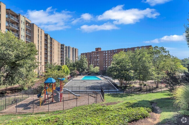
At Diggs Circle in La Plata, MD, experience fine living. The 401 Nanjemoy Dr. location in La Plata's 20646 area is an ideal place for residents. Schedule a time to see the current floorplan options. Here at this community, the leasing team is available to assist you in finding your new home. Drop by Diggs Circle today.
Diggs Circle is an apartment community located in Charles County and the 20646 ZIP Code. This area is served by the Charles County Public Schools attendance zone.
Fees and Policies
Details
Property Information
-
Built in 1985
-
13 units/2 stories
Location
Get Directions
Devastation hit La Plata in 2002 when a tornado completely wiped out the town. Massive recovery and rebuilding efforts eventually erased all evidence of the damage inflicted by the tornado, leading to a stronger, closer community as well as a more beautiful La Plata.
The La Plata community bonds over a wide variety of family-friendly events, including the La Plata Bed Races, Celebrate La Plata, Kids Summer Shows, Summer Concert Series, Fall Festival, Harvest Halloween Party, Veterans Parade, and Breakfast with Santa. A broad range of local businesses along Charles Street contribute to the small-town flavor of La Plata while several nearby parks and nature preserves offer La Plata residents plenty of outdoor recreational opportunities. Metropolitan amenities abound in nearby Waldorf, DC, and Baltimore.
Learn more about living in La Plata
Education
| Colleges & Universities | Distance | ||
|---|---|---|---|
| Colleges & Universities | Distance | ||
| Drive: | 9 min | 4.7 mi | |
| Drive: | 15 min | 9.1 mi | |
| Drive: | 60 min | 36.6 mi | |
| Drive: | 75 min | 48.8 mi |
Diggs Circle is within 9 minutes or 4.7 miles from Southern Maryland, La Platta. It is also near Coll. of Southern Md., Waldorf and NOVA, Medical Edu. Campus.
Schools


Public Elementary School
Grades PK-5
637 Students
Attendance Zone
Public Middle School
Grades 6-8
666 Students
Attendance Zone
Public High School
Grades 9-12
1,222 Students
Attendance Zone
Private Elementary School
Grades PK-5
Nearby
Private Middle & High School
Grades 6-12
36 Students
Nearby
School data provided by
 The GreatSchools Rating helps parents compare schools within a state based on a variety of school quality indicators and provides a helpful picture of how effectively each school serves all of its students. Ratings are on a scale of 1 (below average) to 10 (above average) and can include test scores, college readiness, academic progress, advanced courses, equity, discipline and attendance data. We also advise parents to visit schools, consider other information on school performance and programs, and consider family needs as part of the school selection process.
View GreatSchools Rating Methodology
View GreatSchools Rating Methodology
Transportation options available in La Plata include Eisenhower Avenue, located 28.1 miles from Diggs Circle. Diggs Circle is near Ronald Reagan Washington Ntl, located 36.2 miles or 59 minutes away.
| Transit / Subway | Distance | ||
|---|---|---|---|
| Transit / Subway | Distance | ||
|
|
Drive: | 47 min | 28.1 mi |
|
|
Drive: | 48 min | 28.7 mi |
|
|
Drive: | 49 min | 29.1 mi |
|
|
Drive: | 48 min | 29.3 mi |
|
|
Drive: | 59 min | 36.3 mi |
| Commuter Rail | Distance | ||
|---|---|---|---|
| Commuter Rail | Distance | ||
|
|
Drive: | 64 min | 39.8 mi |
|
|
Drive: | 64 min | 40.7 mi |
|
|
Drive: | 68 min | 44.0 mi |
|
|
Drive: | 76 min | 48.0 mi |
|
|
Drive: | 86 min | 57.6 mi |
| Airports | Distance | ||
|---|---|---|---|
| Airports | Distance | ||
|
Ronald Reagan Washington Ntl
|
Drive: | 59 min | 36.2 mi |
Time and distance from Diggs Circle.
| Shopping Centers | Distance | ||
|---|---|---|---|
| Shopping Centers | Distance | ||
| Drive: | 2 min | 1.1 mi | |
| Drive: | 2 min | 1.3 mi | |
| Walk: | 73 min | 3.8 mi |
Diggs Circle has 3 shopping centers within 3.8 miles, which is about a 73-minute drive. The miles and minutes will be for the farthest away property.
| Parks and Recreation | Distance | ||
|---|---|---|---|
| Parks and Recreation | Distance | ||
|
Chapel Point State Park
|
Drive: | 18 min | 5.1 mi |
|
Thomas Stone National Historic Site
|
Drive: | 12 min | 5.2 mi |
|
Uhler Natural Area
|
Drive: | 12 min | 5.2 mi |
Diggs Circle has 3 parks within 5.2 miles, including Chapel Point State Park, Thomas Stone National Historic Site, and Uhler Natural Area.
| Hospitals | Distance | ||
|---|---|---|---|
| Hospitals | Distance | ||
| Drive: | 3 min | 1.5 mi |
Diggs Circle is 1.5 miles and a 3 minute drive from University of Maryland Charles Regional Medical Center.
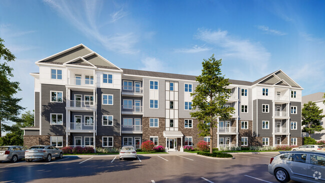
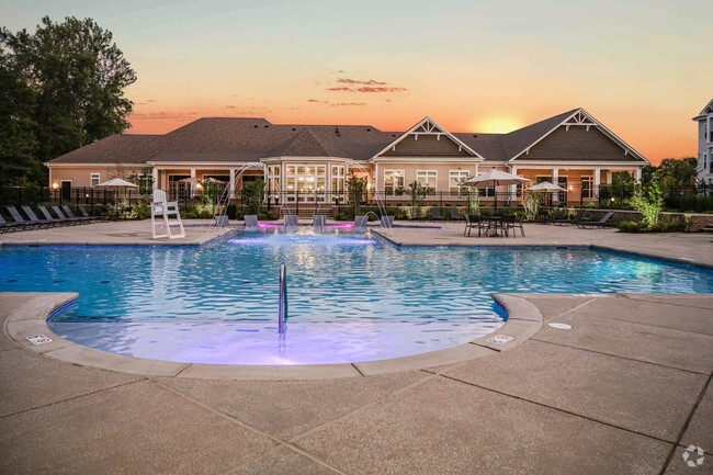
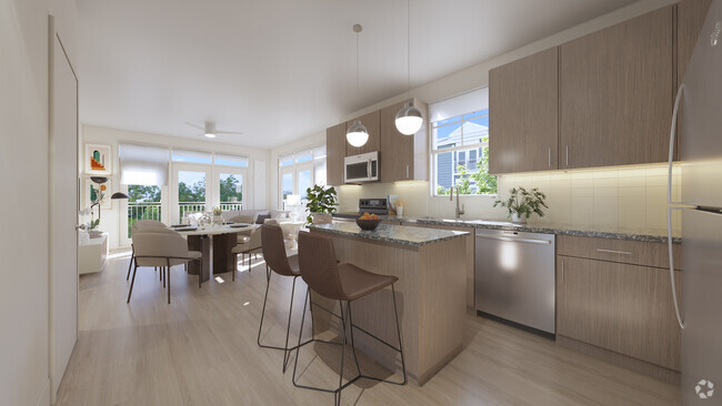
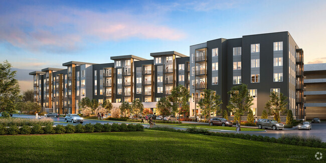
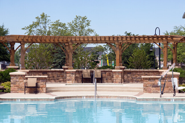
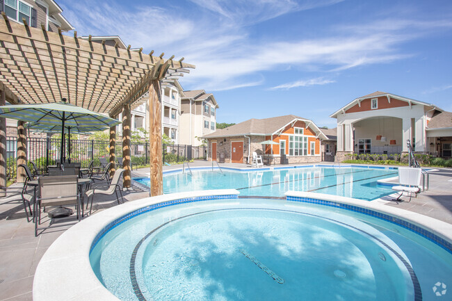
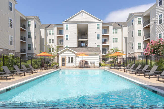
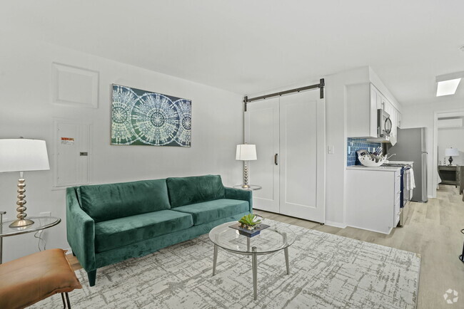
You May Also Like
Similar Rentals Nearby

What Are Walk Score®, Transit Score®, and Bike Score® Ratings?
Walk Score® measures the walkability of any address. Transit Score® measures access to public transit. Bike Score® measures the bikeability of any address.
What is a Sound Score Rating?
A Sound Score Rating aggregates noise caused by vehicle traffic, airplane traffic and local sources
Responded To This Review