3928 Kings Hwy Unit 2
Brooklyn, NY 11234
-
Bedrooms
3
-
Bathrooms
1.5
-
Square Feet
1,220 sq ft
-
Available
Available Now
About This Home
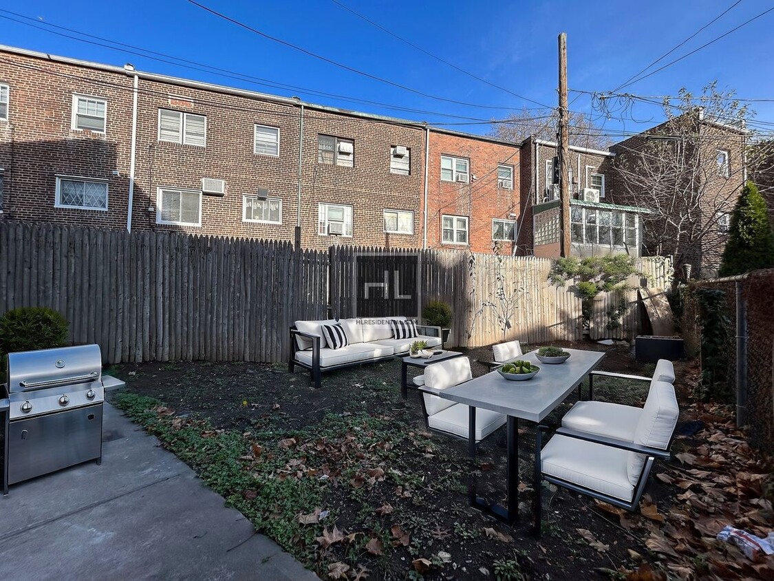
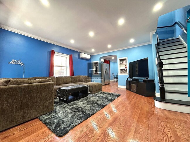
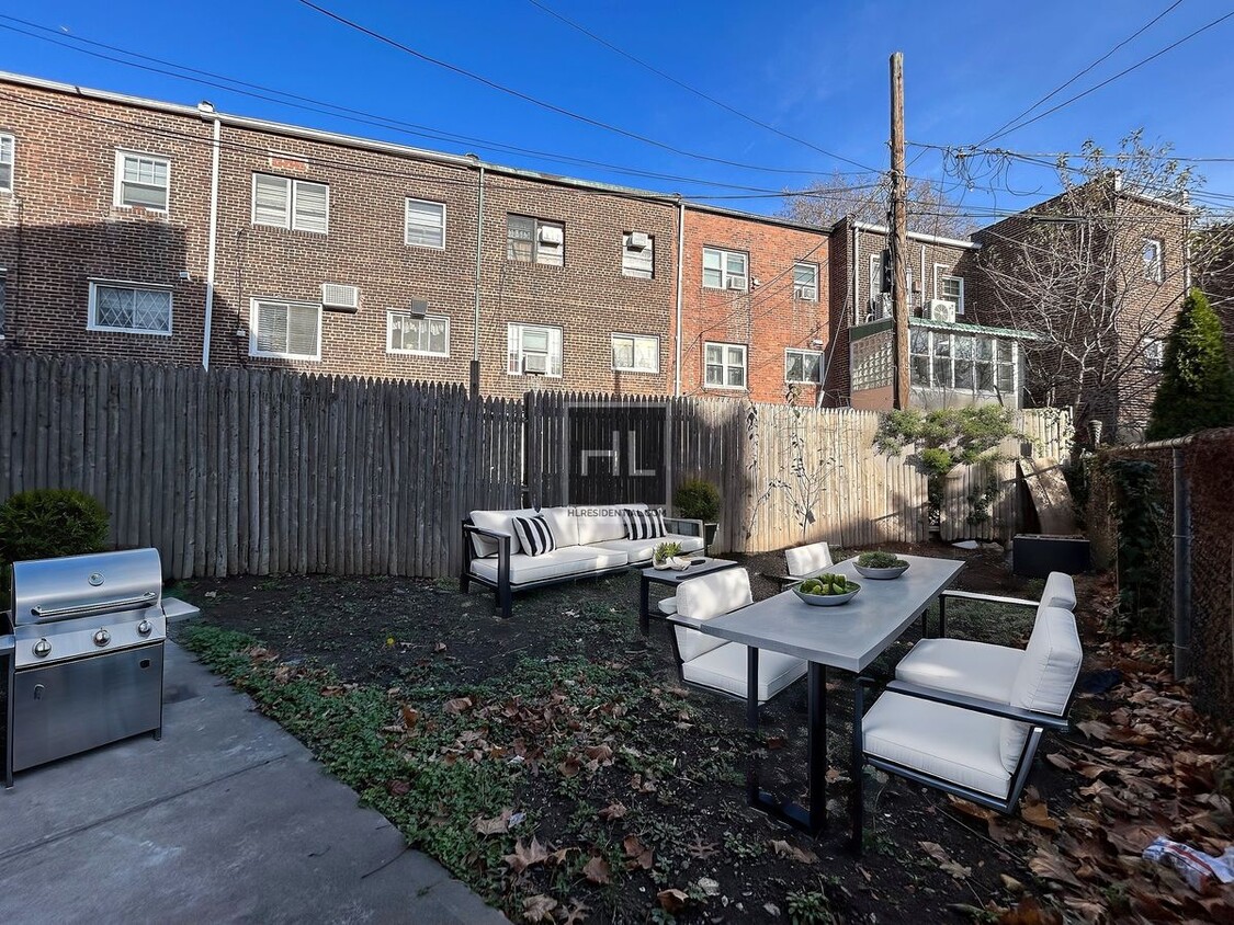
Beautiful New 3 bedroom 1.5 bath Duplex w/ Private Backyard Includes the following: Central heating and cooling Private Backyard Parking available (optional $250) Outside Front Porch sitting area Huge living room Dinning room New kitchen King, Queen, and full size bedrooms upstairs Hardwood Floors throughout Tons of closet space 1.5 bathrooms Cats are welcome Conveniently located 1 block from Flatbush ave. Transportation, shopping, restaurants and supermarket are all nearby. Email us for an appointment today! ===Ref:2103945===
KINGS HIGHWAY is an apartment community located in Kings County and the 11234 ZIP Code.
Contact
- Phone Number
- Website View Property Website
- Contact
-
Source

The Flatlands is a small neighborhood withing the Brooklyn borough. This urban neighborhood is located just north of Jamaica Bay and several green spaces and beaches, so locals have easy access to plenty of outdoor recreation. You’ll find residents flocking to Marine Park, Brooklyn’s largest park, or the iconic Coney Island Beach and Boardwalk, which is about five miles away. Along with being near several great schools, the Flatlands is adjacent to Brooklyn College. There aren’t any subway stations in the Flatlands, but there are several nearby like Flatbush Avenue Station. Similar to many New York City neighborhoods, rent is on the expensive side, but there are rental options available in every style including charming rowhouses and modern condos.
Learn more about living in Flatlands| Colleges & Universities | Distance | ||
|---|---|---|---|
| Colleges & Universities | Distance | ||
| Drive: | 4 min | 1.4 mi | |
| Drive: | 11 min | 4.5 mi | |
| Drive: | 11 min | 5.2 mi | |
| Drive: | 16 min | 6.3 mi |
Transportation options available in Brooklyn include Brooklyn College-Flatbush Avenue, located 1.0 mile from KINGS HIGHWAY. KINGS HIGHWAY is near John F Kennedy International, located 11.4 miles or 18 minutes away, and Laguardia, located 12.8 miles or 27 minutes away.
| Transit / Subway | Distance | ||
|---|---|---|---|
| Transit / Subway | Distance | ||
|
|
Walk: | 19 min | 1.0 mi |
|
|
Drive: | 6 min | 1.7 mi |
|
|
Drive: | 4 min | 2.1 mi |
|
|
Drive: | 6 min | 2.6 mi |
|
|
Drive: | 6 min | 3.0 mi |
| Commuter Rail | Distance | ||
|---|---|---|---|
| Commuter Rail | Distance | ||
|
|
Drive: | 8 min | 4.5 mi |
|
|
Drive: | 13 min | 5.3 mi |
|
|
Drive: | 14 min | 6.3 mi |
|
|
Drive: | 21 min | 10.3 mi |
|
|
Drive: | 23 min | 10.9 mi |
| Airports | Distance | ||
|---|---|---|---|
| Airports | Distance | ||
|
John F Kennedy International
|
Drive: | 18 min | 11.4 mi |
|
Laguardia
|
Drive: | 27 min | 12.8 mi |
Time and distance from KINGS HIGHWAY.
| Shopping Centers | Distance | ||
|---|---|---|---|
| Shopping Centers | Distance | ||
| Walk: | 17 min | 0.9 mi | |
| Drive: | 3 min | 1.1 mi | |
| Drive: | 3 min | 1.2 mi |
| Parks and Recreation | Distance | ||
|---|---|---|---|
| Parks and Recreation | Distance | ||
|
Marine Park
|
Drive: | 6 min | 2.8 mi |
|
Betsy Head Memorial Playground
|
Drive: | 6 min | 3.2 mi |
|
Wingate Park
|
Drive: | 8 min | 3.6 mi |
|
Canarsie Park
|
Drive: | 9 min | 3.8 mi |
|
Fresh Creek Park
|
Drive: | 10 min | 4.8 mi |
| Hospitals | Distance | ||
|---|---|---|---|
| Hospitals | Distance | ||
| Walk: | 18 min | 1.0 mi | |
| Drive: | 7 min | 3.1 mi | |
| Drive: | 7 min | 3.1 mi |
| Military Bases | Distance | ||
|---|---|---|---|
| Military Bases | Distance | ||
| Drive: | 9 min | 4.1 mi | |
| Drive: | 13 min | 5.1 mi | |
| Drive: | 17 min | 5.6 mi |
You May Also Like
What Are Walk Score®, Transit Score®, and Bike Score® Ratings?
Walk Score® measures the walkability of any address. Transit Score® measures access to public transit. Bike Score® measures the bikeability of any address.
What is a Sound Score Rating?
A Sound Score Rating aggregates noise caused by vehicle traffic, airplane traffic and local sources


