Liquid Sugar Lofts
1245-1283 66th St,
Emeryville,
CA
94608

Check Back Soon for Upcoming Availability
About Liquid Sugar Lofts
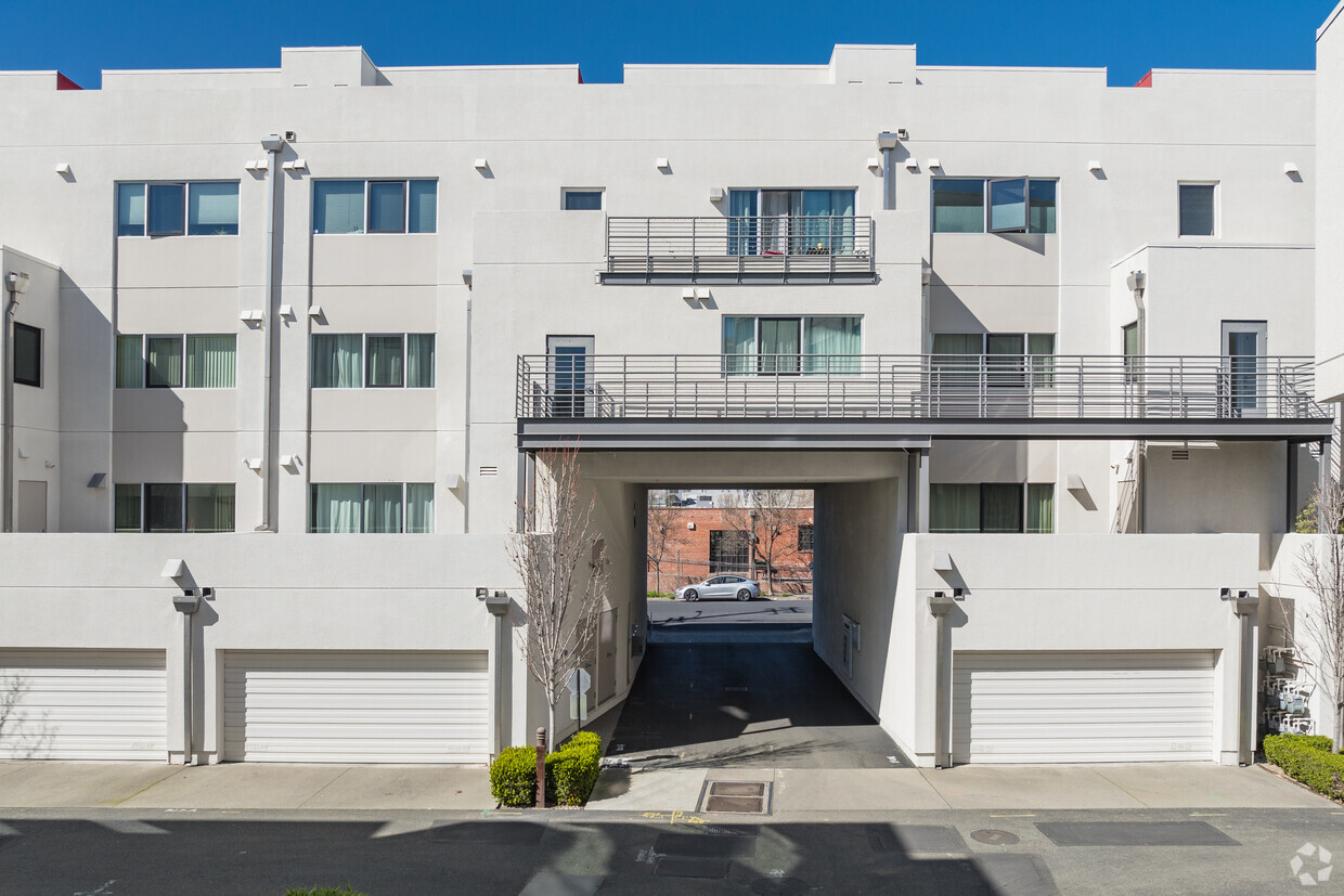
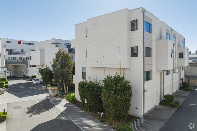
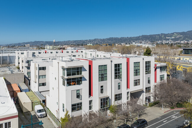
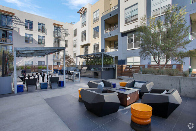
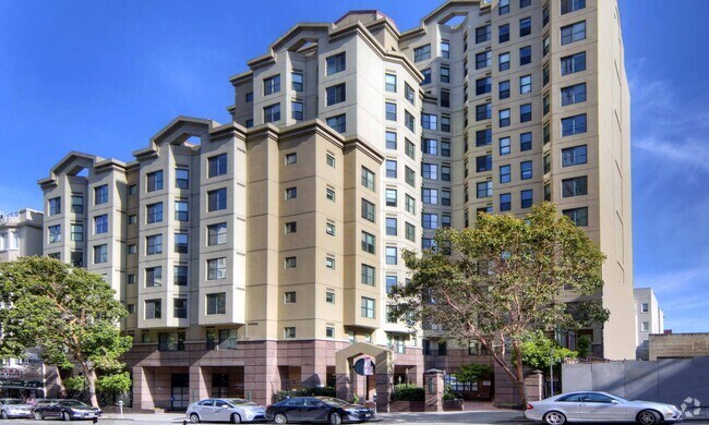
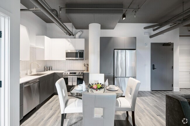
Visit Liquid Sugar Lofts in Emeryville, CA. This community is located at 1245-1283 66th St in the 94608 area of Emeryville. From amenities to floor plan options, the professional leasing staff is excited to help you find your new home. Experience a better way of living at Liquid Sugar Lofts. Contact us or stop by the leasing office to discuss your new apartment.
Liquid Sugar Lofts is an apartment community located in Alameda County and the 94608 ZIP Code. This area is served by the Emery Unified attendance zone.
Community Amenities
- Clubhouse
- Courtyard
Apartment Features
- Air Conditioning
- Wheelchair Accessible (Rooms)
- Balcony
Fees and Policies
Details
Property Information
-
Built in 2003
-
55 units/5 stories
Emeryville is a small community right in the heart of the Bay Area, part of greater Oakland’s north side and sitting right at the foot of the Bay Bridge into San Francisco. The art scene thrives here, with hundreds of painters, musicians, and filmmakers working around town. Pixar has its headquarters in the middle of the city and serves as the Emeryville’s largest employer, so there’s a good chance of rubbing elbows with some extremely creative neighbors once you move to a rental in Emeryville.
The waterfront Bay Street Emeryville offers upscale shopping in a uniquely “main street” environment, while the Public Market offers a boutique dining experience with nearly a dozen specialty cafes under one roof.
Learn more about living in Emeryville- Clubhouse
- Courtyard
- Air Conditioning
- Wheelchair Accessible (Rooms)
- Balcony
| Colleges & Universities | Distance | ||
|---|---|---|---|
| Colleges & Universities | Distance | ||
| Drive: | 8 min | 2.6 mi | |
| Drive: | 9 min | 3.6 mi | |
| Drive: | 12 min | 3.9 mi | |
| Drive: | 8 min | 4.2 mi |
 The GreatSchools Rating helps parents compare schools within a state based on a variety of school quality indicators and provides a helpful picture of how effectively each school serves all of its students. Ratings are on a scale of 1 (below average) to 10 (above average) and can include test scores, college readiness, academic progress, advanced courses, equity, discipline and attendance data. We also advise parents to visit schools, consider other information on school performance and programs, and consider family needs as part of the school selection process.
View GreatSchools Rating Methodology
Transportation options available in Emeryville include Ashby Station, located 1.5 miles from Liquid Sugar Lofts. Liquid Sugar Lofts is near Metro Oakland International, located 14.6 miles or 22 minutes away, and San Francisco International, located 22.3 miles or 35 minutes away.
| Transit / Subway | Distance | ||
|---|---|---|---|
| Transit / Subway | Distance | ||
|
|
Drive: | 4 min | 1.5 mi |
|
|
Drive: | 7 min | 2.5 mi |
|
|
Drive: | 8 min | 2.7 mi |
|
|
Drive: | 9 min | 3.1 mi |
|
|
Drive: | 9 min | 3.7 mi |
| Commuter Rail | Distance | ||
|---|---|---|---|
| Commuter Rail | Distance | ||
|
|
Walk: | 13 min | 0.7 mi |
|
|
Drive: | 5 min | 2.5 mi |
|
|
Drive: | 11 min | 4.4 mi |
| Drive: | 16 min | 9.8 mi | |
| Drive: | 18 min | 11.0 mi |
| Airports | Distance | ||
|---|---|---|---|
| Airports | Distance | ||
|
Metro Oakland International
|
Drive: | 22 min | 14.6 mi |
|
San Francisco International
|
Drive: | 35 min | 22.3 mi |
Time and distance from Liquid Sugar Lofts.
| Shopping Centers | Distance | ||
|---|---|---|---|
| Shopping Centers | Distance | ||
| Walk: | 14 min | 0.7 mi | |
| Drive: | 3 min | 1.2 mi | |
| Drive: | 7 min | 1.9 mi |
| Parks and Recreation | Distance | ||
|---|---|---|---|
| Parks and Recreation | Distance | ||
|
San Francisco Bay Trail (at Emeryville)
|
Drive: | 3 min | 1.1 mi |
|
Strawberry Creek Park
|
Drive: | 5 min | 1.7 mi |
|
McLaughlin Eastshore State Park
|
Drive: | 6 min | 2.6 mi |
|
Shorebird Nature Center
|
Drive: | 7 min | 3.3 mi |
|
Shorebird Park
|
Drive: | 8 min | 3.5 mi |
| Hospitals | Distance | ||
|---|---|---|---|
| Hospitals | Distance | ||
| Drive: | 5 min | 1.9 mi | |
| Drive: | 6 min | 2.1 mi | |
| Drive: | 8 min | 4.1 mi |
| Military Bases | Distance | ||
|---|---|---|---|
| Military Bases | Distance | ||
| Drive: | 13 min | 5.3 mi | |
| Drive: | 18 min | 7.2 mi |
You May Also Like
Similar Rentals Nearby
What Are Walk Score®, Transit Score®, and Bike Score® Ratings?
Walk Score® measures the walkability of any address. Transit Score® measures access to public transit. Bike Score® measures the bikeability of any address.
What is a Sound Score Rating?
A Sound Score Rating aggregates noise caused by vehicle traffic, airplane traffic and local sources





Responded To This Review