
$2,350 / Month
95-19 Liverpool St Unit 2
Queens, NY 11435
2 Weeks Ago
Favorites
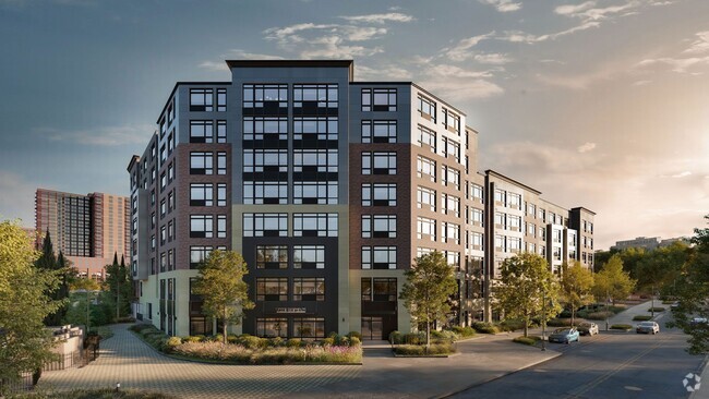
LIVERPOOL STREET

Favorites
Check Back Soon for Upcoming Availability
| Beds | Baths | Average SF |
|---|---|---|
| 3 Bedrooms 3 Bedrooms 3 Br | 2 Baths 2 Baths 2 Ba | — |
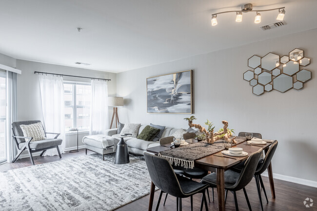
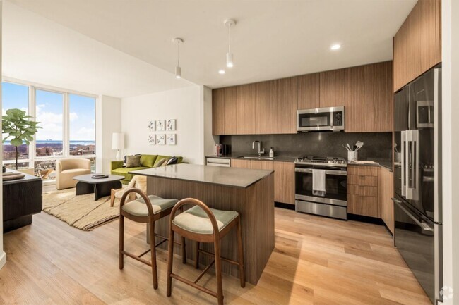
About This Property
Description coming soon, please contact your Highline Residential agent for more information===Ref:608673===
LIVERPOOL STREET is an apartment community located in Queens County and the 11435 ZIP Code.
Location
Get Directions
Downtown Jamaica is the picture of hustle and bustle in Queens, New York! With an abundance of shopping and an eclectic atmosphere, this busy retail district offers a unique lifestyle in east New York. Local charm is an understatement when it comes to this tight-knit community. From major retailers to local businesses, Downtown Jamaica has everything you could ever need, and probably more.
York College resides on the south side of downtown, offering a sprawling, tree-lined campus with plenty of recreational amenities, parking, and access to public transit. Enjoy nearby museums, fitness centers, parks, and movie theaters—all family-friendly locations! Downtown Jamaica continues to rise with new developments focusing on high-rise residential buildings.
Learn more about living in Downtown JamaicaBelow are rent ranges for similar nearby apartments
Education
| Colleges & Universities | Distance | ||
|---|---|---|---|
| Colleges & Universities | Distance | ||
| Walk: | 13 min | 0.7 mi | |
| Drive: | 8 min | 3.1 mi | |
| Drive: | 9 min | 5.4 mi | |
| Drive: | 14 min | 7.1 mi |
LIVERPOOL STREET is within 13 minutes or 0.7 mile from York College. It is also near St. John's University and Queens College.
Transportation options available in Queens include Sutphin Boulevard-Archer Avenue-Jfk Airport, located 0.3 mile from LIVERPOOL STREET. LIVERPOOL STREET is near John F Kennedy International, located 5.4 miles or 8 minutes away, and Laguardia, located 7.2 miles or 13 minutes away.
| Transit / Subway | Distance | ||
|---|---|---|---|
| Transit / Subway | Distance | ||
|
|
Walk: | 5 min | 0.3 mi |
|
|
Walk: | 8 min | 0.4 mi |
|
|
Walk: | 12 min | 0.6 mi |
|
|
Walk: | 12 min | 0.7 mi |
|
|
Walk: | 14 min | 0.7 mi |
| Commuter Rail | Distance | ||
|---|---|---|---|
| Commuter Rail | Distance | ||
|
|
Walk: | 4 min | 0.3 mi |
|
|
Drive: | 5 min | 2.1 mi |
|
|
Drive: | 5 min | 2.2 mi |
|
|
Drive: | 7 min | 2.8 mi |
|
|
Drive: | 6 min | 2.8 mi |
| Airports | Distance | ||
|---|---|---|---|
| Airports | Distance | ||
|
John F Kennedy International
|
Drive: | 8 min | 5.4 mi |
|
Laguardia
|
Drive: | 13 min | 7.2 mi |
Time and distance from LIVERPOOL STREET.
| Shopping Centers | Distance | ||
|---|---|---|---|
| Shopping Centers | Distance | ||
| Walk: | 14 min | 0.7 mi | |
| Drive: | 3 min | 1.2 mi | |
| Drive: | 4 min | 1.6 mi |
LIVERPOOL STREET has 3 shopping centers within 1.6 miles, which is about a 4-minute walk. The miles and minutes will be for the farthest away property.
| Parks and Recreation | Distance | ||
|---|---|---|---|
| Parks and Recreation | Distance | ||
|
Rufus King Park
|
Walk: | 12 min | 0.6 mi |
|
Detective Keith L. Williams Park
|
Drive: | 4 min | 1.5 mi |
|
Baisley Pond Park
|
Drive: | 5 min | 2.1 mi |
|
Forest Park - Brooklyn-Queens
|
Drive: | 5 min | 2.6 mi |
|
Roy Wilkins Recreation Center
|
Drive: | 7 min | 2.9 mi |
LIVERPOOL STREET has 5 parks within 2.9 miles, including Rufus King Park, Detective Keith L. Williams Park, and Baisley Pond Park.
| Hospitals | Distance | ||
|---|---|---|---|
| Hospitals | Distance | ||
| Walk: | 13 min | 0.7 mi | |
| Drive: | 5 min | 2.1 mi | |
| Drive: | 10 min | 5.8 mi |
LIVERPOOL STREET has 3 hospitals within 5.8 miles, the nearest is Jamaica Hospital Medical Center which is 0.7 mile away and a 13 minute walk.
| Military Bases | Distance | ||
|---|---|---|---|
| Military Bases | Distance | ||
| Drive: | 17 min | 10.2 mi | |
| Drive: | 30 min | 14.3 mi |
LIVERPOOL STREET is 10.2 miles from Fort Totten US Govt Reservation, and is convenient to other military bases, including US Coast Guard Heliport.
You May Also Like
Similar Rentals Nearby


What Are Walk Score®, Transit Score®, and Bike Score® Ratings?
Walk Score® measures the walkability of any address. Transit Score® measures access to public transit. Bike Score® measures the bikeability of any address.
What is a Sound Score Rating?
A Sound Score Rating aggregates noise caused by vehicle traffic, airplane traffic and local sources
95-19 Liverpool St
Queens, NY 11435