Apartments for Rent in Bronx NY - 2,023 Rentals
Popular Searches in Bronx, NY
Bronx, NY Apartments for Rent
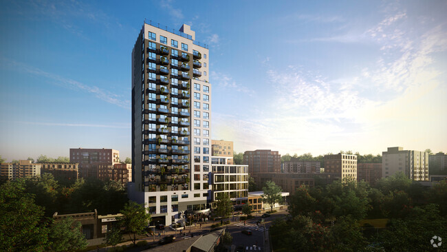
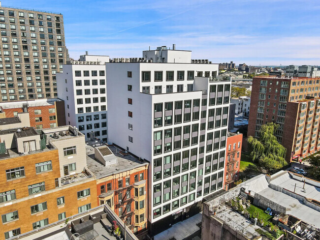
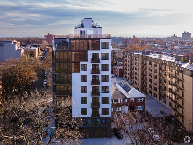
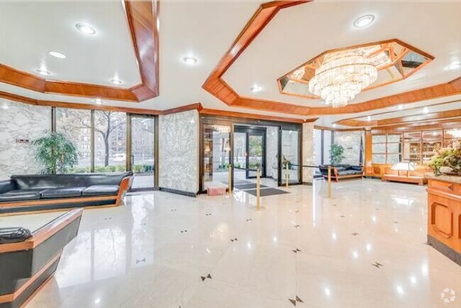
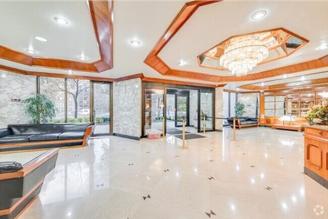
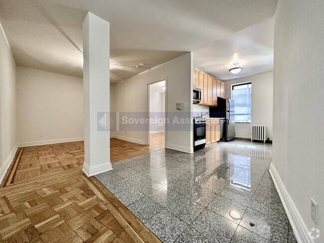
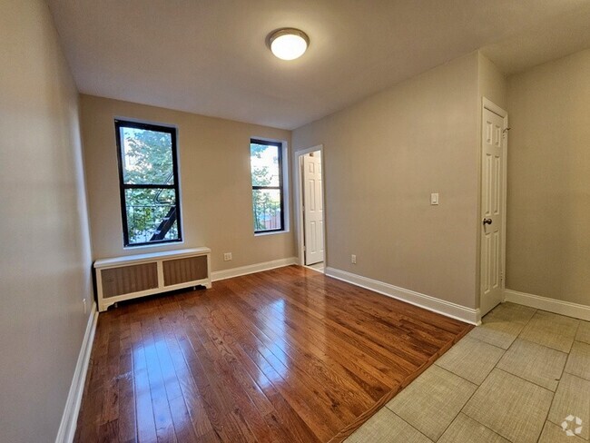
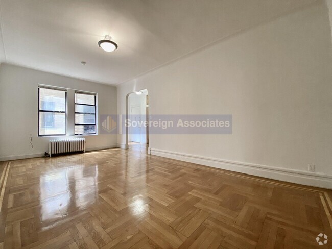
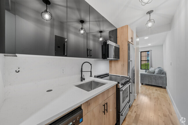
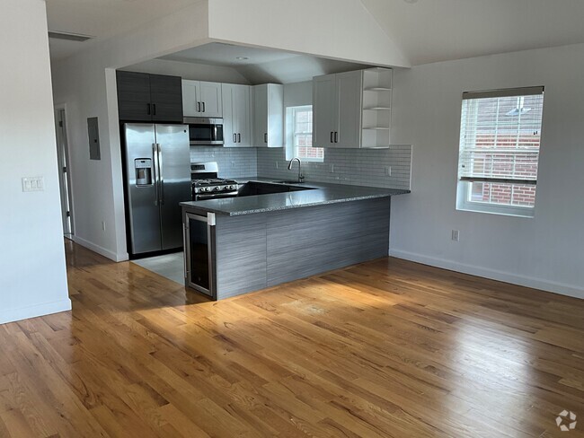
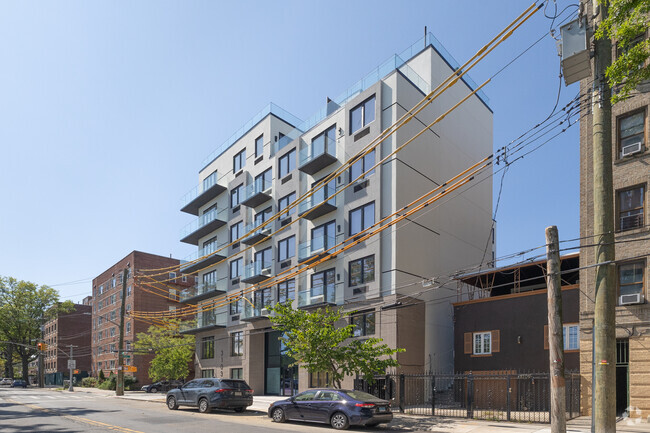
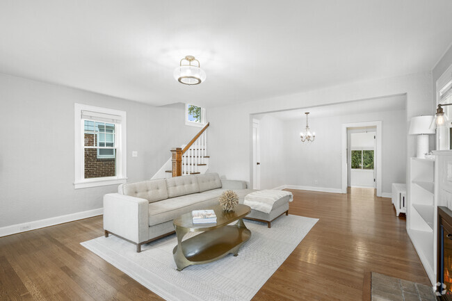
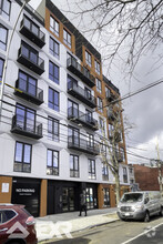
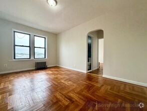
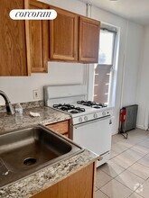
Renting an apartment in The Bronx allows you to live in one of New York City’s most diverse and culturally rich parts of the city. The Bronx is home to everything from classic pre-war apartments and walk-up apartments to modern communities with popular apartment amenities. Bronx apartments cater to renters of every lifestyle and budget, including cheap Bronx apartments. With varied rental options, world-class attractions, and easy access to Manhattan and Westchester, NY, The Bronx is your ideal place to rent an apartment. If you're looking for no broker fee apartments in the Bronx, we also have you covered there as well!
Best Bronx Neighborhoods To Rent
Renting in The Bronx allows you to choose from an apartment near some of the top attractions, not only in NYC but in the world. The Fordham neighborhood is perfect for students and young professionals. With easy access to Fordham University and close proximity to Arthur Avenue (also known as Little Italy), Fordham gives renters convenient access to the Bronx Zoo and the New York Botanical Garden. Riverdale is famous for its more peaceful, suburban feel with tree-lined streets and spacious apartments with stunning views of the Hudson River. The South Bronx is rapidly revitalizing with new apartment complexes and trendy loft-style apartments surrounded by vibrant street art and a burgeoning culinary scene. The Pelham Parkway neighborhood is perfect for families with more affordable rent and easy access to Pelham Bay Park and the Bronx Zoo. Mott Haven is an up-and-coming neighborhood that’s actively transforming with new rental developments, trendy cafes, and waterfront parks.
Top Amenities In Bronx Apartments
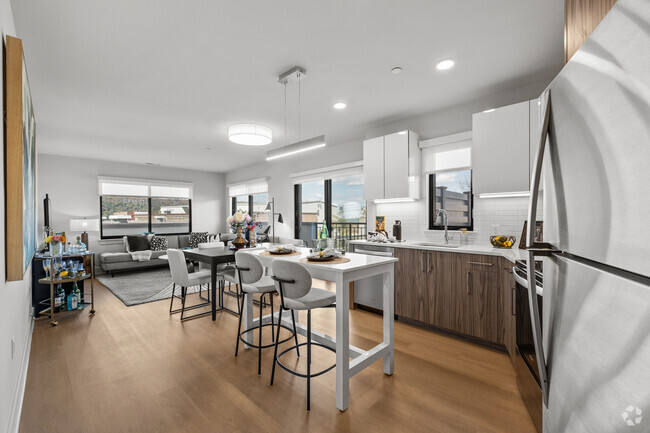
The Bronx apartment market caters to diverse lifestyles, with many buildings featuring spacious layouts and more extraordinary character compared with other New York City boroughs. The Bronx also features plenty of more modern apartment complexes with amenities like fitness centers, in-unit laundry, and common community spaces. The Bronx also features a large number of pet-friendly apartments, allowing you to have your dream apartment and have plenty of room for your furry family member. Most Bronx apartments are also conveniently located to public transit allowing easy access to all that New York City has to offer.
Apartment Life In The Bronx
Life in the Bronx means you get to live in a New York City borough rich in both history and culture. Spend weekends exploring the Bronx Zoo, Stroll through the Botanical Garden, or catch a game at the famed Yankee Stadium. The Bronx is also famous for its food scene, with Little Italy’s Arthur Avenue serving up authentic Italian dishes and the borough offering traditional Latin American flavors. With plenty to do and see, renting an apartment in the Bronx is sure to offer something for every renter.
Bronx, NY Rental Insights
Average Rent Rates
The average rent in Bronx is $1,623. When you rent an apartment in Bronx, you can expect to pay as little as $1,612 or as much as $2,376, depending on the location and the size of the apartment.
The average rent for a studio apartment in Bronx, NY is $1,612 per month.
The average rent for a one bedroom apartment in Bronx, NY is $1,623 per month.
The average rent for a two bedroom apartment in Bronx, NY is $2,081 per month.
The average rent for a three bedroom apartment in Bronx, NY is $2,376 per month.
Transportation
Transit options in Bronx vary, but overall, it has a transit score of 93.
Education
In Bronx, you’ll find top-ranking elementary schools like The Academy Of The Arts, Ps 92, and Hospital Schools.
Bronx is home to some top-ranking middle schools, including Young Scholars Academy Of The Bronx, Jhs 162 Lola Rodriguez De Tio, and Urban Science Academy.
Moving is tough for high school students! Look for Bronx apartments near top-ranking high schools like New Explorers High School, Leadership Institute, and Pablo Neruda Academy for Architecture and World Studies.
If you’re a student moving to an apartment in Bronx, you’ll have access to Yeshiva Univ., Resnick, Fordham University, Rose Hill, and Monroe College, Bronx Campus.

