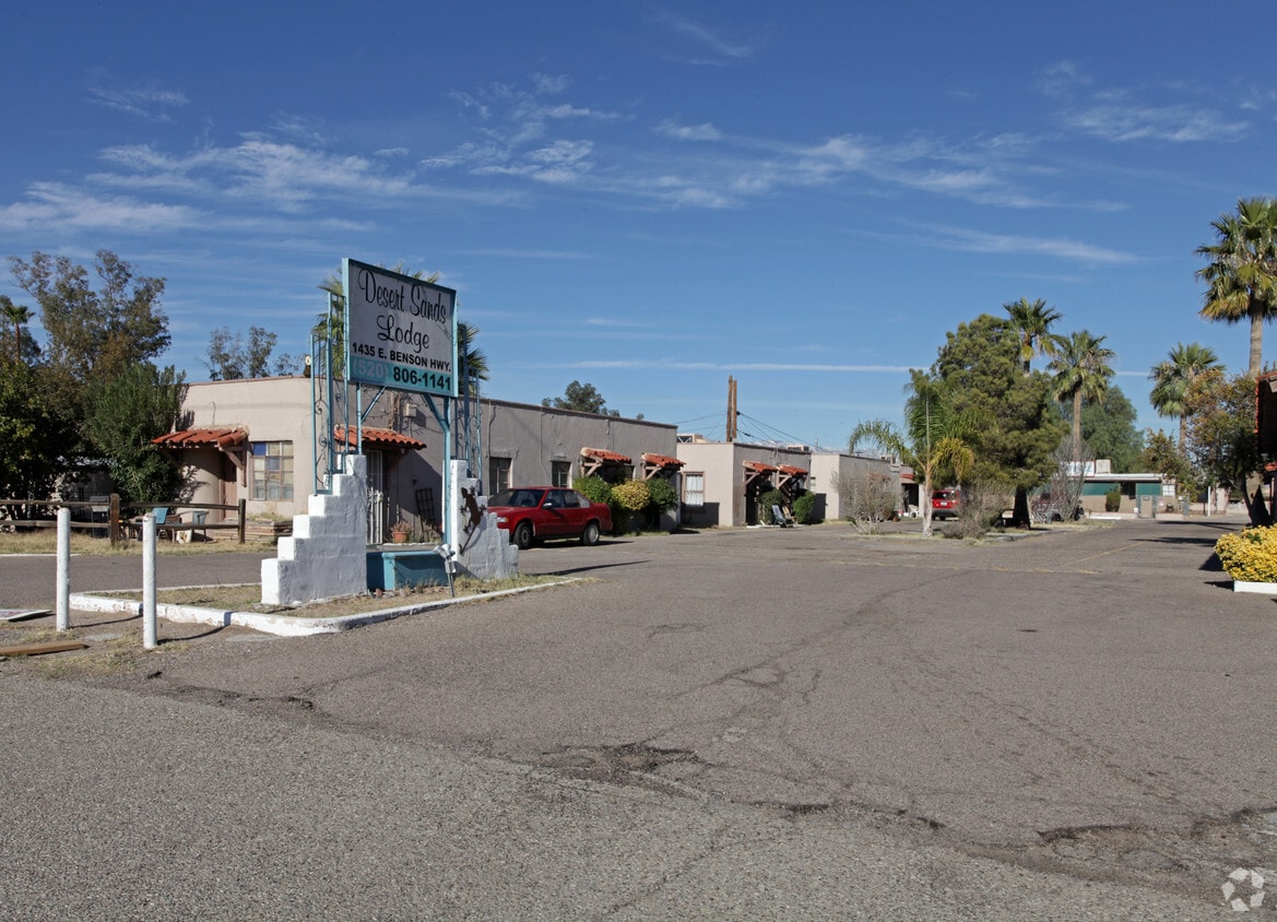
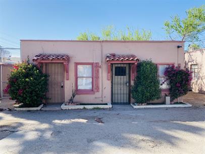
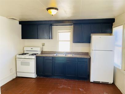
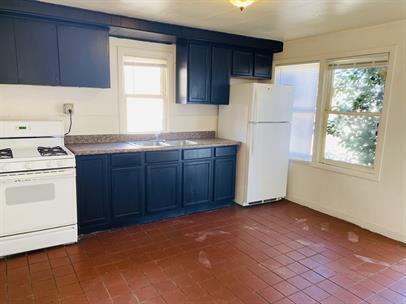
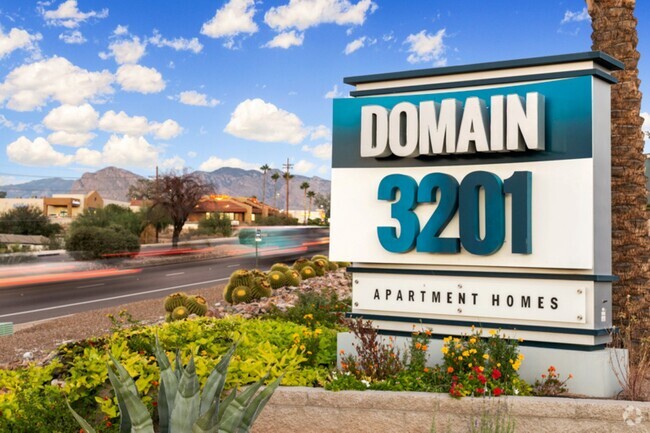
PM354 - 1435 East Benson Highway
1435 E Benson Hwy,
Tucson,
AZ
85714
Today
Favorites
PM354 - 1435 East Benson Highway
Favorites
No Unit Information Available for this Listing
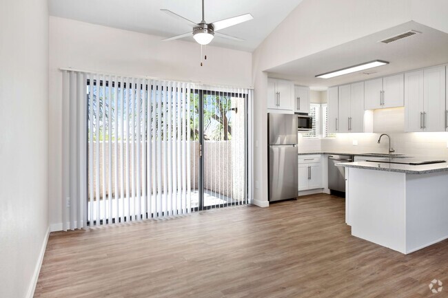
About PM354 - 1435 East Benson Highway
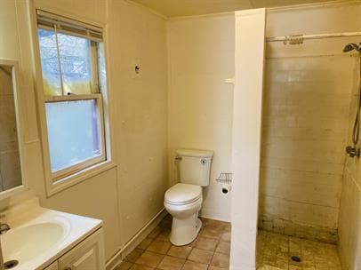
REMODELED, ALL UTILITIES INCLUDED, LAUNDRY ON SITE, OFF STREET PARKING. STUDIO 1 BATHROOM $400.00 DEPOSIT $750.00 RENT $35.00 APPLICATION FEE AVAILABLE MOVE IN IMMEDIATELY NO PETS PLEASE PLEASE CALL: JAMES WEBSITE:
PM354 - 1435 East Benson Highway is an apartment community located in Pima County and the 85714 ZIP Code. This area is served by the Tucson Unified District attendance zone.
Fees and Policies
Details
Lease Options
-
None
Property Information
-
Built in 1948
-
23 units/1 story
Location
Get Directions
Ward 5 is a sprawling community spanning south of Downtown Tucson around the Interstate 19 and 10 intersection. Thanks to the interstates and the Tucson International Airport, which is located just south of Ward 5, travel near and far is accessible. Ward 5 holds some of Tucson’s best amenities, like the Tucson VA Medical Center and the Banner-University Medical Center South. The community is also known for its shopping destinations, such as the Marketplace at the Bridges, as well as community parks like the Kino Sports Complex and Santa Cruz River Park. The rest of Ward 5 remains residential with affordable, low-rise apartments for rent.
Learn more about living in Ward 5
Education
| Colleges & Universities | Distance | ||
|---|---|---|---|
| Colleges & Universities | Distance | ||
| Drive: | 11 min | 4.9 mi | |
| Drive: | 12 min | 5.1 mi | |
| Drive: | 9 min | 5.2 mi | |
| Drive: | 10 min | 6.1 mi |
PM354 - 1435 East Benson Highway is within 11 minutes or 4.9 miles from University of Arizona. It is also near Pima C.C., Desert Vista Campus and Pima C.C., Community Campus.
Schools


Public Elementary School
Grades PK-5
173 Students
Attendance Zone
Public Middle & High School
Grades 8-12
600 Students
Attendance Zone
Public Middle School
Grades 6-8
263 Students
Attendance Zone
Private Elementary & Middle School
Grades K-8
402 Students
Nearby
Private Elementary & Middle School
Grades K-8
203 Students
Nearby
Private Elementary, Middle & High School
Grades 1-12
24 Students
Nearby
School data provided by
 The GreatSchools Rating helps parents compare schools within a state based on a variety of school quality indicators and provides a helpful picture of how effectively each school serves all of its students. Ratings are on a scale of 1 (below average) to 10 (above average) and can include test scores, college readiness, academic progress, advanced courses, equity, discipline and attendance data. We also advise parents to visit schools, consider other information on school performance and programs, and consider family needs as part of the school selection process.
View GreatSchools Rating Methodology
View GreatSchools Rating Methodology
Transportation options available in Tucson include Sl/Cushing/Frontage Rd, located 4.8 miles from PM354 - 1435 East Benson Highway. PM354 - 1435 East Benson Highway is near Tucson International, located 4.6 miles or 10 minutes away.
| Transit / Subway | Distance | ||
|---|---|---|---|
| Transit / Subway | Distance | ||
| Drive: | 7 min | 4.8 mi | |
| Drive: | 7 min | 4.9 mi | |
| Drive: | 7 min | 4.9 mi | |
| Drive: | 8 min | 5.1 mi | |
| Drive: | 8 min | 5.3 mi |
| Commuter Rail | Distance | ||
|---|---|---|---|
| Commuter Rail | Distance | ||
|
|
Drive: | 8 min | 5.4 mi |
| Airports | Distance | ||
|---|---|---|---|
| Airports | Distance | ||
|
Tucson International
|
Drive: | 10 min | 4.6 mi |
Time and distance from PM354 - 1435 East Benson Highway.
| Shopping Centers | Distance | ||
|---|---|---|---|
| Shopping Centers | Distance | ||
| Walk: | 6 min | 0.3 mi | |
| Walk: | 18 min | 1.0 mi | |
| Drive: | 3 min | 1.2 mi |
PM354 - 1435 East Benson Highway has 3 shopping centers within 1.2 miles, which is about a 3-minute walk. The miles and minutes will be for the farthest away property.
| Parks and Recreation | Distance | ||
|---|---|---|---|
| Parks and Recreation | Distance | ||
|
Sunnyside Park
|
Drive: | 5 min | 2.5 mi |
|
Santa Rita Park
|
Drive: | 6 min | 2.9 mi |
|
Mission Manor Park
|
Drive: | 8 min | 4.1 mi |
|
Augie Acuna Los Ninos Park
|
Drive: | 10 min | 4.4 mi |
|
Reid Park Zoo
|
Drive: | 10 min | 4.9 mi |
PM354 - 1435 East Benson Highway has 5 parks within 4.9 miles, including Sunnyside Park, Santa Rita Park, and Augie Acuna Los Ninos Park.
| Hospitals | Distance | ||
|---|---|---|---|
| Hospitals | Distance | ||
| Drive: | 3 min | 1.5 mi | |
| Drive: | 11 min | 5.3 mi | |
| Drive: | 10 min | 6.1 mi |
PM354 - 1435 East Benson Highway has 3 hospitals within 6.1 miles, the nearest is Banner - University Medical Center South Campus which is 1.5 miles away and a 3 minute drive.
| Military Bases | Distance | ||
|---|---|---|---|
| Military Bases | Distance | ||
| Drive: | 10 min | 4.0 mi | |
| Drive: | 16 min | 11.4 mi | |
| Drive: | 82 min | 71.1 mi |
PM354 - 1435 East Benson Highway has 3 military bases within 71.1 miles, the nearest is Tucson Airport Air Guard Station which is 4.0 miles away and a 10 minute drive.
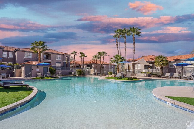
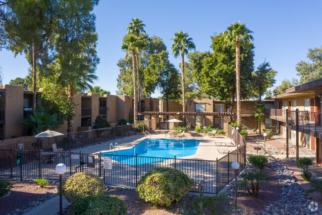
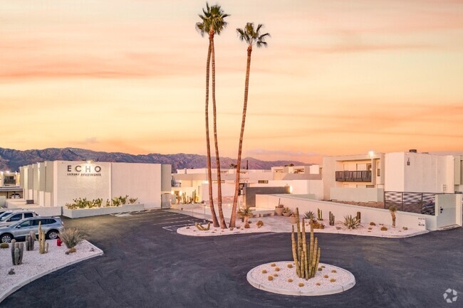
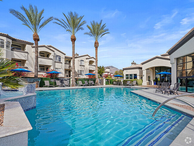
You May Also Like
Similar Rentals Nearby

What Are Walk Score®, Transit Score®, and Bike Score® Ratings?
Walk Score® measures the walkability of any address. Transit Score® measures access to public transit. Bike Score® measures the bikeability of any address.
What is a Sound Score Rating?
A Sound Score Rating aggregates noise caused by vehicle traffic, airplane traffic and local sources
Responded To This Review