-
Rutledge
-
Rutledge
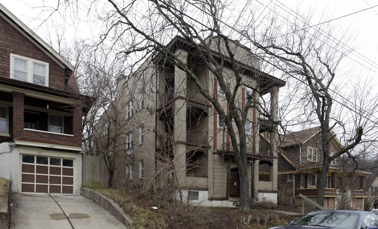
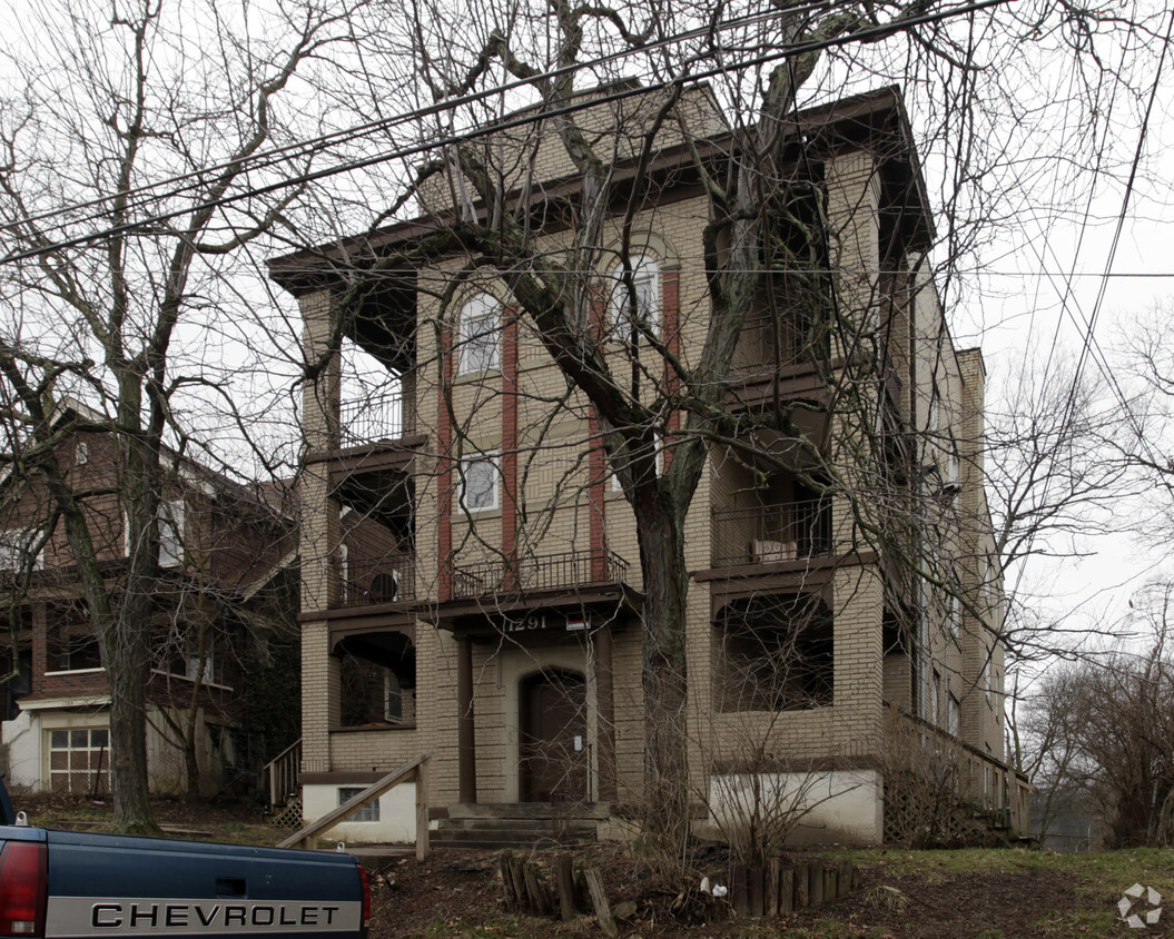
1291 Rutledge Ave,
Cincinnati,
OH
45238
2 Weeks Ago
Favorites
Rutledge
Favorites
No Unit Information Available for this Listing
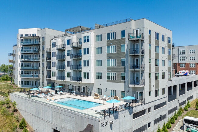
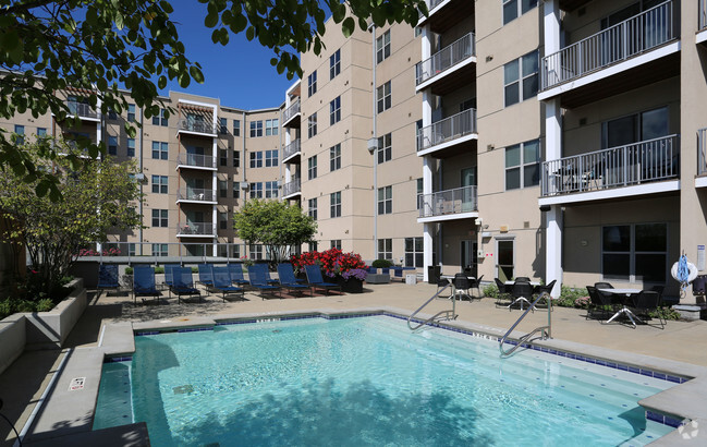
About Rutledge
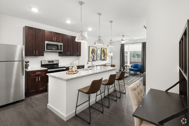
Thanks for visiting Rutledge in Cincinnati, OH. This property is situated at 1291 Rutledge Ave in the West Price Hill area of Cincinnati. The professional leasing staff is eager to show you our community. Contact us or stop by today.
Rutledge is an apartment community located in Hamilton County and the 45238 ZIP Code. This area is served by the Cincinnati Public Schools attendance zone.
Contact
Fees and Policies
Details
Property Information
-
6 units/3 stories
Location
Get Directions
Located about four miles away from Downtown Cincinnati, West Price Hill is known for its affordability and wide range of rental options. Along with having condos and apartments available for rent at various price points, West Price Hill has single-family homes in a variety of architectural styles including Queen Anne, Greek Revival, Second Empire, and Italianate. The neighborhood has several restaurants and stores, but is also just a few miles from commercial hubs like Glenway Crossing, so necessities aren’t far from home. West Price Hill has multiple parks like Rapid Run Park for residents to enjoy. Parks along the Ohio River like Mount Echo Park await just a few minutes south of the neighborhood as well. If you’re looking for a central location with affordable options, West Price Hill is a great choice.
Learn more about living in West Price Hill
Education
| Colleges & Universities | Distance | ||
|---|---|---|---|
| Colleges & Universities | Distance | ||
| Drive: | 9 min | 3.9 mi | |
| Drive: | 13 min | 5.5 mi | |
| Drive: | 15 min | 5.8 mi | |
| Drive: | 15 min | 6.0 mi |
Rutledge is within 9 minutes or 3.9 miles from College of Mount St. Joseph. It is also near Cincinnati State and University of Cincinnati.
Schools


Public Elementary School
Grades PK-6
668 Students
Attendance Zone
Public Middle & High School
Grades 6-12
1,418 Students
Attendance Zone
Public Middle & High School
Grades 7-12
897 Students
Attendance Zone
Private Elementary & Middle School
Grades PK-8
381 Students
Nearby
Private Elementary & Middle School
Grades K-8
197 Students
Nearby
Private High School
Grades 9-12
797 Students
Nearby
School data provided by
 The GreatSchools Rating helps parents compare schools within a state based on a variety of school quality indicators and provides a helpful picture of how effectively each school serves all of its students. Ratings are on a scale of 1 (below average) to 10 (above average) and can include test scores, college readiness, academic progress, advanced courses, equity, discipline and attendance data. We also advise parents to visit schools, consider other information on school performance and programs, and consider family needs as part of the school selection process.
View GreatSchools Rating Methodology
View GreatSchools Rating Methodology
Transportation options available in Cincinnati include Brewery District Station, Elm & Henry, located 4.4 miles from Rutledge. Rutledge is near Cincinnati/Northern Kentucky International, located 18.1 miles or 34 minutes away.
| Transit / Subway | Distance | ||
|---|---|---|---|
| Transit / Subway | Distance | ||
| Drive: | 10 min | 4.4 mi | |
| Drive: | 11 min | 4.6 mi | |
| Drive: | 11 min | 4.7 mi | |
| Drive: | 13 min | 4.8 mi | |
| Drive: | 11 min | 4.9 mi |
| Commuter Rail | Distance | ||
|---|---|---|---|
| Commuter Rail | Distance | ||
|
|
Drive: | 11 min | 4.7 mi |
| Airports | Distance | ||
|---|---|---|---|
| Airports | Distance | ||
|
Cincinnati/Northern Kentucky International
|
Drive: | 34 min | 18.1 mi |
Time and distance from Rutledge.
| Shopping Centers | Distance | ||
|---|---|---|---|
| Shopping Centers | Distance | ||
| Drive: | 3 min | 1.3 mi | |
| Drive: | 4 min | 1.5 mi | |
| Drive: | 4 min | 1.5 mi |
Rutledge has 3 shopping centers within 1.5 miles, which is about a 4-minute drive. The miles and minutes will be for the farthest away property.
| Parks and Recreation | Distance | ||
|---|---|---|---|
| Parks and Recreation | Distance | ||
|
Imago Earth Center
|
Drive: | 5 min | 1.7 mi |
|
Wilson Commons
|
Drive: | 7 min | 2.4 mi |
|
Embshoff Woods
|
Drive: | 8 min | 2.9 mi |
|
Museum of Natural History and Science
|
Drive: | 11 min | 4.7 mi |
|
Cincinnati History Museum
|
Drive: | 11 min | 4.7 mi |
Rutledge has 5 parks within 4.7 miles, including Imago Earth Center, Wilson Commons, and Embshoff Woods.
| Hospitals | Distance | ||
|---|---|---|---|
| Hospitals | Distance | ||
| Drive: | 13 min | 5.5 mi | |
| Drive: | 12 min | 5.5 mi | |
| Drive: | 15 min | 6.1 mi |
Rutledge has 3 hospitals within 6.1 miles, the nearest is Christ Hospital which is 5.5 miles away and a 13 minute drive.
| Military Bases | Distance | ||
|---|---|---|---|
| Military Bases | Distance | ||
| Drive: | 76 min | 56.7 mi | |
| Drive: | 82 min | 61.7 mi | |
| Drive: | 85 min | 65.0 mi |
Rutledge has 3 military bases within 65.0 miles, the nearest is Gentile Air Force Station which is 56.7 miles away and a 76 minute drive.
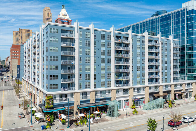
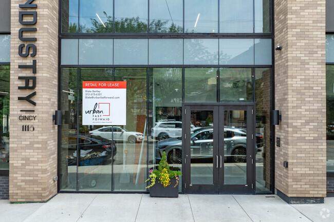
You May Also Like
Similar Rentals Nearby


What Are Walk Score®, Transit Score®, and Bike Score® Ratings?
Walk Score® measures the walkability of any address. Transit Score® measures access to public transit. Bike Score® measures the bikeability of any address.
What is a Sound Score Rating?
A Sound Score Rating aggregates noise caused by vehicle traffic, airplane traffic and local sources
Responded To This Review