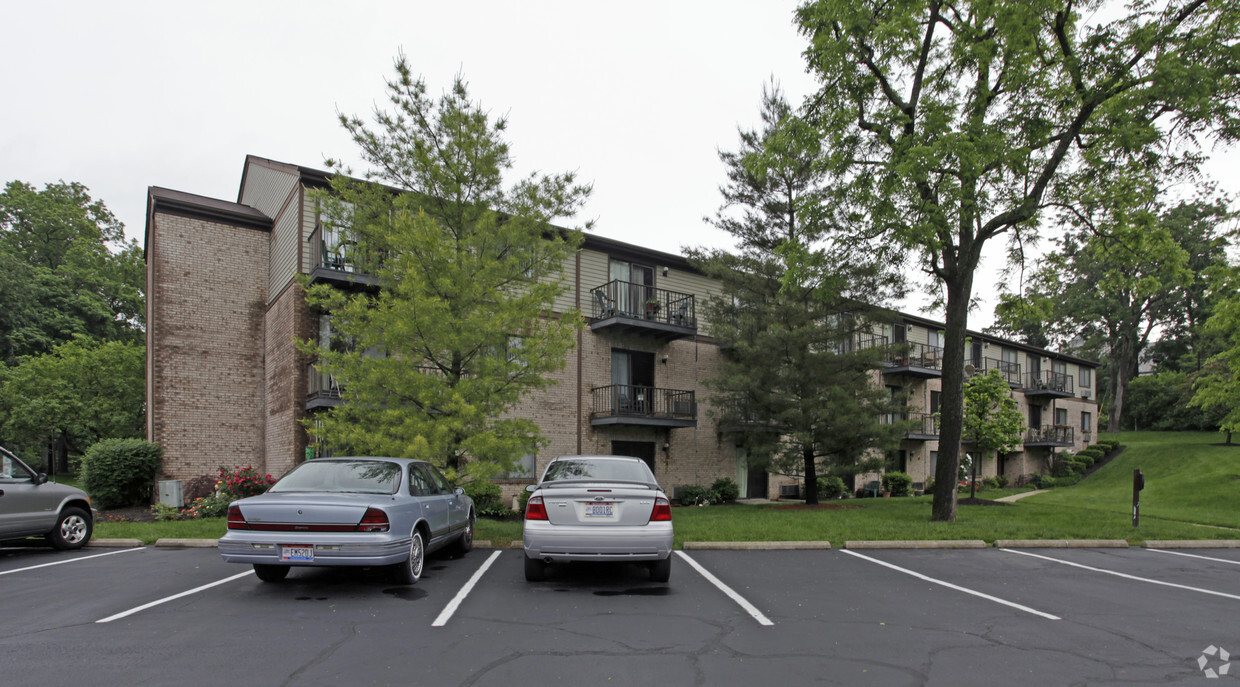
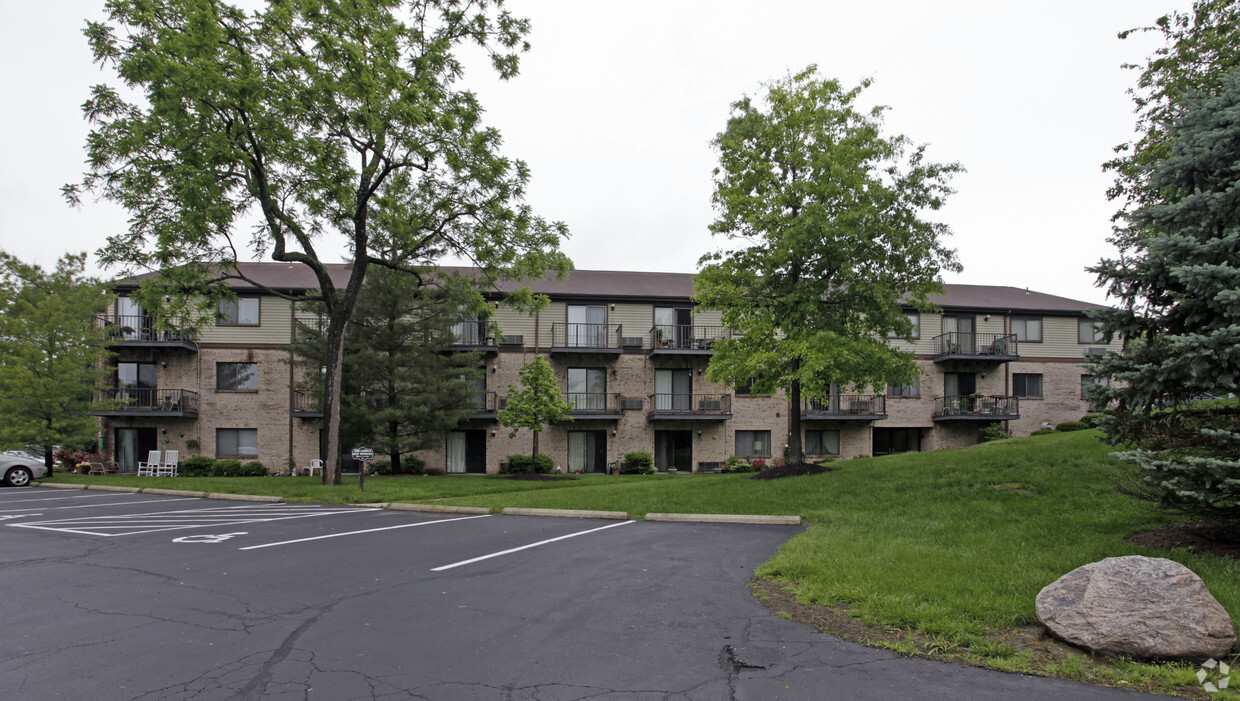
S E M Laurels
203 Mound St,
Milford,
OH
45150
2 Weeks Ago
Favorites
S E M Laurels
Favorites
Check Back Soon for Upcoming Availability
| Beds | Baths | Average SF | Availability |
|---|---|---|---|
| Studio Studio 0 Br | 1 Bath 1 Bath 1 Ba | 400 SF | Not Available |
| 1 Bedroom 1 Bedroom 1 Br | 1 Bath 1 Bath 1 Ba | 600 SF | Not Available |
| 2 Bedrooms 2 Bedrooms 2 Br | 1 Bath 1 Bath 1 Ba | 800 SF | Not Available |
About S E M Laurels
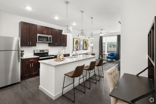
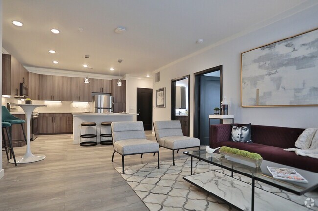
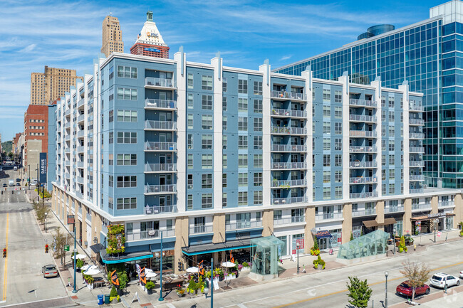
At S E M Laurels in Milford, you've discovered your new place. The address for this community is in Milford on Mound St.. Come by to see the available floorplan options. S E M Laurels provides a variety of available amenities and features including: a game room, convenient on-site parking options, and balconies. Stop by to talk about leasing your new apartment.
S E M Laurels is an apartment community located in Clermont County and the 45150 ZIP Code. This area is served by the Milford Exempted Village attendance zone.
Community Amenities
- Laundry Facilities
- Gameroom
Apartment Features
Air Conditioning
Dishwasher
High Speed Internet Access
Tub/Shower
- High Speed Internet Access
- Air Conditioning
- Heating
- Smoke Free
- Cable Ready
- Security System
- Tub/Shower
- Sprinkler System
- Dishwasher
- Carpet
- Balcony
Fees and Policies
The fees below are based on community-supplied data and may exclude additional fees and utilities.
- Parking
-
Surface Lot--1 Max
Details
Property Information
-
Built in 1979
-
122 units/3 stories
Location
Get Directions
Flanked by the Little Miami River, Milford provides a terrific location -- close enough to Downtown Cincinnati that the 15-mile commute is easily tackled, but far enough away to develop its own identity. Milford has a long history, dating back to 1794 when a Revolutionary War veteran built a log cabin in the area. Long before that, it was the location of a Native American Village. The location of the former village is one of Clermont County's largest historical sites: the Gatch Site, which is listed on the National Register of Historic Places. Its 75 acres have yielded some of the region's most important finds, including artifacts, campsites, and burials.
Milford's Main Street offers wide sidewalks, period lighting, historic architecture, and tree-lined streets. Residents can spend the afternoon window-shopping, browsing antiques, or having lunch at one of the cafes.
Learn more about living in Milford
Amenities
- Laundry Facilities
- Gameroom
- High Speed Internet Access
- Air Conditioning
- Heating
- Smoke Free
- Cable Ready
- Security System
- Tub/Shower
- Sprinkler System
- Dishwasher
- Carpet
- Balcony
Education
| Colleges & Universities | Distance | ||
|---|---|---|---|
| Colleges & Universities | Distance | ||
| Drive: | 23 min | 11.1 mi | |
| Drive: | 28 min | 13.2 mi | |
| Drive: | 24 min | 13.2 mi | |
| Drive: | 27 min | 17.8 mi |
S E M Laurels is within 23 minutes or 11.1 miles from Univ. of Cincinnati, Blue Ash. It is also near Univ. of Cincinnati, Clermont and Xavier University.
Schools


Public Elementary School
Grades K-6
484 Students
Nearby
Public Elementary School
Grades K-6
333 Students
Nearby
Public Middle School
Grades 6-8
539 Students
Nearby
Public Middle & High School
Grades 8-12
1,850 Students
Attendance Zone
Public High School
Grades 9-12
662 Students
Nearby
Private Elementary, Middle & High School
Grades PK-12
870 Students
Nearby
School data provided by
 The GreatSchools Rating helps parents compare schools within a state based on a variety of school quality indicators and provides a helpful picture of how effectively each school serves all of its students. Ratings are on a scale of 1 (below average) to 10 (above average) and can include test scores, college readiness, academic progress, advanced courses, equity, discipline and attendance data. We also advise parents to visit schools, consider other information on school performance and programs, and consider family needs as part of the school selection process.
View GreatSchools Rating Methodology
View GreatSchools Rating Methodology
Transportation options available in Milford include Richter & Phillips Station, 6Th & Main, located 15.7 miles from S E M Laurels. S E M Laurels is near Cincinnati/Northern Kentucky International, located 33.4 miles or 51 minutes away.
| Transit / Subway | Distance | ||
|---|---|---|---|
| Transit / Subway | Distance | ||
| Drive: | 30 min | 15.7 mi | |
| Drive: | 30 min | 15.7 mi | |
| Drive: | 31 min | 15.8 mi | |
| Drive: | 31 min | 15.8 mi | |
| Drive: | 31 min | 15.9 mi |
| Commuter Rail | Distance | ||
|---|---|---|---|
| Commuter Rail | Distance | ||
|
|
Drive: | 34 min | 17.7 mi |
| Airports | Distance | ||
|---|---|---|---|
| Airports | Distance | ||
|
Cincinnati/Northern Kentucky International
|
Drive: | 51 min | 33.4 mi |
Time and distance from S E M Laurels.
| Shopping Centers | Distance | ||
|---|---|---|---|
| Shopping Centers | Distance | ||
| Drive: | 4 min | 1.4 mi | |
| Drive: | 5 min | 1.7 mi | |
| Drive: | 5 min | 2.0 mi |
S E M Laurels has 3 shopping centers within 2.0 miles, which is about a 5-minute drive. The miles and minutes will be for the farthest away property.
| Parks and Recreation | Distance | ||
|---|---|---|---|
| Parks and Recreation | Distance | ||
|
Little Miami State Park
|
Drive: | 8 min | 2.3 mi |
|
Cincinnati Nature Center - Rowe Woods
|
Drive: | 12 min | 4.5 mi |
|
Rowe Arboretum
|
Drive: | 13 min | 5.7 mi |
|
Otto Armleder Park
|
Drive: | 21 min | 9.1 mi |
|
Lake Isabella
|
Drive: | 17 min | 9.3 mi |
S E M Laurels has 5 parks within 9.3 miles, including Little Miami State Park, Cincinnati Nature Center - Rowe Woods, and Rowe Arboretum.
| Hospitals | Distance | ||
|---|---|---|---|
| Hospitals | Distance | ||
| Drive: | 18 min | 7.7 mi | |
| Drive: | 23 min | 10.0 mi | |
| Drive: | 17 min | 11.1 mi |
S E M Laurels has 3 hospitals within 11.1 miles, the nearest is The Jewish Hospital - Mercy Health which is 7.7 miles away and a 18 minute drive.
| Military Bases | Distance | ||
|---|---|---|---|
| Military Bases | Distance | ||
| Drive: | 72 min | 55.3 mi | |
| Drive: | 78 min | 60.4 mi | |
| Drive: | 80 min | 63.7 mi |
S E M Laurels has 3 military bases within 63.7 miles, the nearest is Gentile Air Force Station which is 55.3 miles away and a 72 minute drive.
You May Also Like
Similar Rentals Nearby


What Are Walk Score®, Transit Score®, and Bike Score® Ratings?
Walk Score® measures the walkability of any address. Transit Score® measures access to public transit. Bike Score® measures the bikeability of any address.
What is a Sound Score Rating?
A Sound Score Rating aggregates noise caused by vehicle traffic, airplane traffic and local sources

203 Mound St
Milford, OH 45150
Responded To This Review