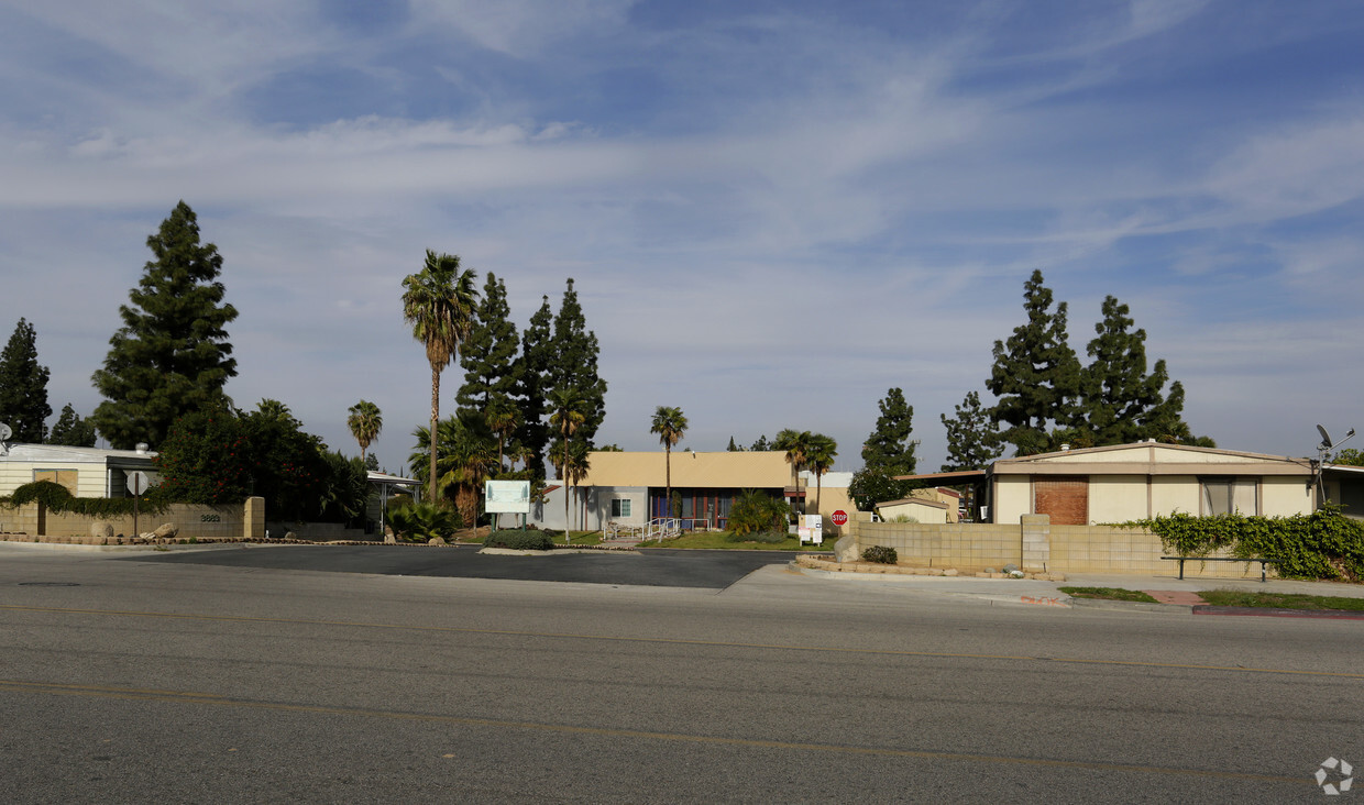
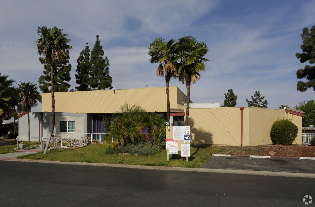
Sierra Pines
3883 Buchanan St,
Riverside,
CA
92503
Check Back Soon for Upcoming Availability
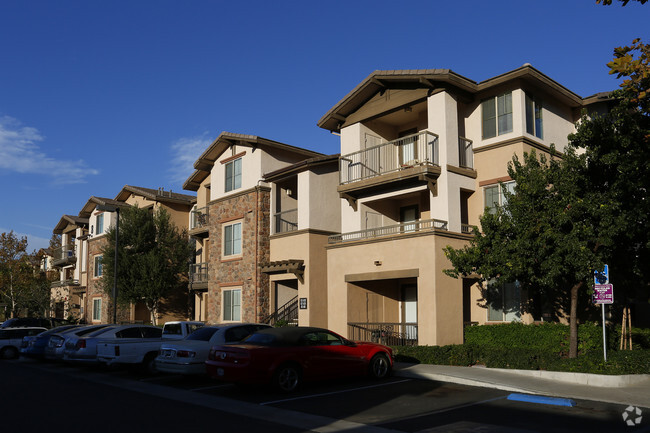
Sierra Pines is an apartment community located in Riverside County and the 92503 ZIP Code. This area is served by the Alvord Unified attendance zone.
Apartment Features
- High Speed Internet Access
- Smoke Free
Fees and Policies
The fees below are based on community-supplied data and may exclude additional fees and utilities.
- Parking
-
Surface LotParking Available--
Details
Property Information
-
Built in 1991
-
80 units/1 story
With large, amenity-filled apartment complexes and spacious single-family homes available to rent, the La Sierra South neighborhood of Riverside offers something for everyone. La Sierra South sits conveniently between Corona, three miles west, and Downtown Riverside itself, five miles away on Interstate 91. The Metrolink station in the community makes it easy to commute to Los Angeles or Orange County by train.
Sections of the neighborhood on the flats provide walkable access to shopping and conveniences, with the Galleria at Tyler, Riverside's most popular mall, sitting close by. Families flock to the Castle Park amusement park, just across Interstate 91, for mini golf, water games, carnival rides, and arcade games.
Learn more about living in La Sierra SouthBelow are rent ranges for similar nearby apartments
- High Speed Internet Access
- Smoke Free
| Colleges & Universities | Distance | ||
|---|---|---|---|
| Colleges & Universities | Distance | ||
| Drive: | 6 min | 2.1 mi | |
| Drive: | 9 min | 6.0 mi | |
| Drive: | 12 min | 6.9 mi | |
| Drive: | 15 min | 9.8 mi |
 The GreatSchools Rating helps parents compare schools within a state based on a variety of school quality indicators and provides a helpful picture of how effectively each school serves all of its students. Ratings are on a scale of 1 (below average) to 10 (above average) and can include test scores, college readiness, academic progress, advanced courses, equity, discipline and attendance data. We also advise parents to visit schools, consider other information on school performance and programs, and consider family needs as part of the school selection process.
View GreatSchools Rating Methodology
Transportation options available in Riverside include Apu / Citrus College Station, located 34.5 miles from Sierra Pines. Sierra Pines is near Ontario International, located 19.1 miles or 26 minutes away, and John Wayne/Orange County, located 32.7 miles or 40 minutes away.
| Transit / Subway | Distance | ||
|---|---|---|---|
| Transit / Subway | Distance | ||
| Drive: | 44 min | 34.5 mi | |
| Drive: | 43 min | 35.1 mi | |
| Drive: | 45 min | 36.3 mi | |
| Drive: | 47 min | 38.7 mi | |
| Drive: | 49 min | 40.2 mi |
| Commuter Rail | Distance | ||
|---|---|---|---|
| Commuter Rail | Distance | ||
|
|
Drive: | 5 min | 2.2 mi |
|
|
Drive: | 8 min | 5.0 mi |
|
|
Drive: | 11 min | 7.7 mi |
|
|
Drive: | 15 min | 9.3 mi |
|
|
Drive: | 14 min | 10.4 mi |
| Airports | Distance | ||
|---|---|---|---|
| Airports | Distance | ||
|
Ontario International
|
Drive: | 26 min | 19.1 mi |
|
John Wayne/Orange County
|
Drive: | 40 min | 32.7 mi |
Time and distance from Sierra Pines.
| Shopping Centers | Distance | ||
|---|---|---|---|
| Shopping Centers | Distance | ||
| Walk: | 14 min | 0.8 mi | |
| Walk: | 15 min | 0.8 mi | |
| Walk: | 15 min | 0.8 mi |
| Parks and Recreation | Distance | ||
|---|---|---|---|
| Parks and Recreation | Distance | ||
|
Hidden Valley Nature Center
|
Drive: | 10 min | 6.0 mi |
|
California Citrus State Historical Park
|
Drive: | 14 min | 7.2 mi |
|
Louis Robidoux Nature Center
|
Drive: | 20 min | 11.0 mi |
| Hospitals | Distance | ||
|---|---|---|---|
| Hospitals | Distance | ||
| Drive: | 3 min | 2.1 mi | |
| Drive: | 8 min | 5.0 mi | |
| Drive: | 7 min | 5.1 mi |
| Military Bases | Distance | ||
|---|---|---|---|
| Military Bases | Distance | ||
| Drive: | 40 min | 18.5 mi |
You May Also Like
Sierra Pines is in La Sierra South in the city of Riverside. Here you’ll find three shopping centers within 0.8 mile of the property. Three parks are within 11.0 miles, including Hidden Valley Nature Center, California Citrus State Historical Park, and Louis Robidoux Nature Center.
Similar Rentals Nearby
What Are Walk Score®, Transit Score®, and Bike Score® Ratings?
Walk Score® measures the walkability of any address. Transit Score® measures access to public transit. Bike Score® measures the bikeability of any address.
What is a Sound Score Rating?
A Sound Score Rating aggregates noise caused by vehicle traffic, airplane traffic and local sources





Responded To This Review