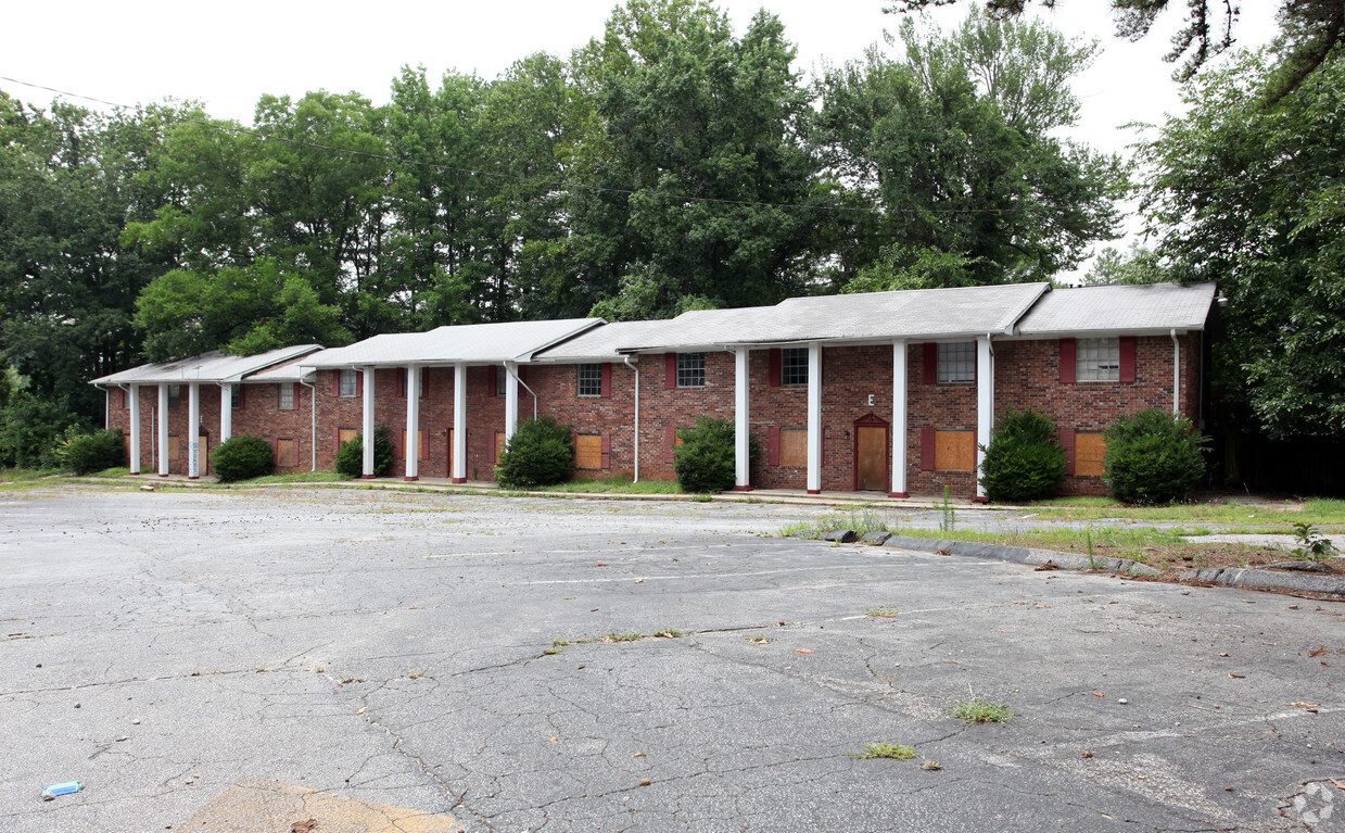
508 Bridge Ave
508 Bridge Ave,
Forest Park,
GA
30297
Check Back Soon for Upcoming Availability
| Beds | Baths | Average SF | Availability |
|---|---|---|---|
| 2 Bedrooms 2 Bedrooms 2 Br | 1 Bath 1 Bath 1 Ba | — | Not Available |
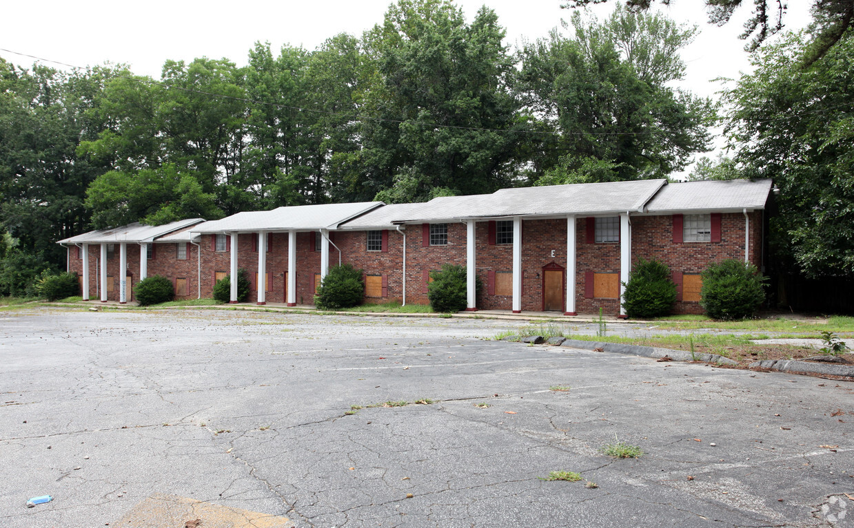
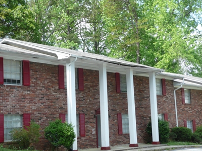
508 Bridge Ave is an apartment community located in Clayton County and the 30297 ZIP Code. This area is served by the Clayton County attendance zone.
Apartment Features
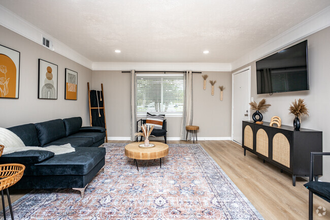
- Tub/Shower
- Oven
- Range
Fees and Policies
The fees below are based on community-supplied data and may exclude additional fees and utilities.
- Other Pets Allowed
-
Fees not specified
-
Weight limit--
-
Pet Limit--
-
Comments:Service animals
- Parking
-
Surface Lot--1 Max
Details
Property Information
-
Built in 1966
-
48 units/2 stories
Forest Park is a part of the Atlanta metropolitan area and sits in the southernmost portion of the city. This city is located next door to the Hartsfield-Jackson International Airport with easy access to Interstates 75 and 285 that will take you anywhere in the city and surrounding areas. Forest Park is home to the popular Atlanta State Farmers Market and sits just north of Clayton State University. This suburb features affordable apartments and houses for rent and is only 11 miles south of Downtown Atlanta. Residents have easy access to other bustling areas in the city like Midtown, Decatur, and Grant Park. Families appreciate green spaces and outdoor amenities at Starr Park, and there’s an array of restaurants and retailers in town along Jonesboro Road.
Learn more about living in Forest Park- Tub/Shower
- Oven
- Range
| Colleges & Universities | Distance | ||
|---|---|---|---|
| Colleges & Universities | Distance | ||
| Drive: | 8 min | 3.6 mi | |
| Drive: | 16 min | 8.4 mi | |
| Drive: | 20 min | 9.1 mi | |
| Drive: | 20 min | 12.3 mi |
 The GreatSchools Rating helps parents compare schools within a state based on a variety of school quality indicators and provides a helpful picture of how effectively each school serves all of its students. Ratings are on a scale of 1 (below average) to 10 (above average) and can include test scores, college readiness, academic progress, advanced courses, equity, discipline and attendance data. We also advise parents to visit schools, consider other information on school performance and programs, and consider family needs as part of the school selection process.
View GreatSchools Rating Methodology
Transportation options available in Forest Park include East Point, located 7.6 miles from 508 Bridge Ave. 508 Bridge Ave is near Hartsfield - Jackson Atlanta International, located 5.1 miles or 12 minutes away.
| Transit / Subway | Distance | ||
|---|---|---|---|
| Transit / Subway | Distance | ||
|
|
Drive: | 17 min | 7.6 mi |
|
|
Drive: | 17 min | 7.9 mi |
|
|
Drive: | 17 min | 8.3 mi |
|
|
Drive: | 17 min | 9.3 mi |
|
|
Drive: | 17 min | 10.1 mi |
| Commuter Rail | Distance | ||
|---|---|---|---|
| Commuter Rail | Distance | ||
|
|
Drive: | 25 min | 15.2 mi |
| Airports | Distance | ||
|---|---|---|---|
| Airports | Distance | ||
|
Hartsfield - Jackson Atlanta International
|
Drive: | 12 min | 5.1 mi |
Time and distance from 508 Bridge Ave.
| Shopping Centers | Distance | ||
|---|---|---|---|
| Shopping Centers | Distance | ||
| Walk: | 7 min | 0.4 mi | |
| Walk: | 11 min | 0.6 mi | |
| Walk: | 13 min | 0.7 mi |
| Parks and Recreation | Distance | ||
|---|---|---|---|
| Parks and Recreation | Distance | ||
|
Park Pride
|
Drive: | 19 min | 11.0 mi |
|
Zoo Atlanta
|
Drive: | 20 min | 11.1 mi |
|
Ferns of the World Garden
|
Drive: | 19 min | 12.1 mi |
|
West Atlanta Watershed Alliance (WAWA)
|
Drive: | 23 min | 12.3 mi |
|
Trees Atlanta
|
Drive: | 21 min | 12.5 mi |
| Hospitals | Distance | ||
|---|---|---|---|
| Hospitals | Distance | ||
| Drive: | 8 min | 4.3 mi | |
| Drive: | 9 min | 4.5 mi | |
| Drive: | 14 min | 6.0 mi |
| Military Bases | Distance | ||
|---|---|---|---|
| Military Bases | Distance | ||
| Drive: | 10 min | 4.0 mi | |
| Drive: | 18 min | 9.5 mi |
You May Also Like
Similar Rentals Nearby
What Are Walk Score®, Transit Score®, and Bike Score® Ratings?
Walk Score® measures the walkability of any address. Transit Score® measures access to public transit. Bike Score® measures the bikeability of any address.
What is a Sound Score Rating?
A Sound Score Rating aggregates noise caused by vehicle traffic, airplane traffic and local sources
