$4,000 / Month
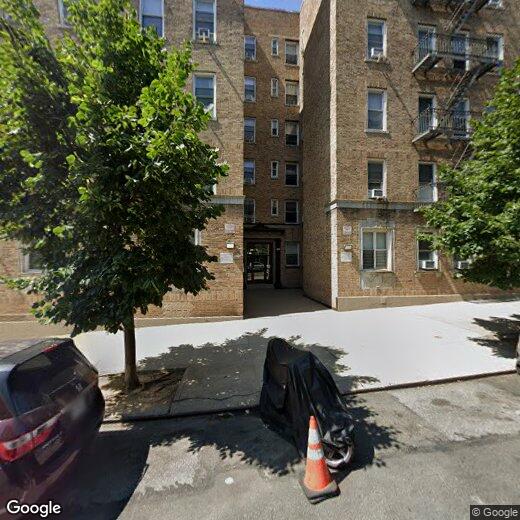
320 Wadsworth Ave
New York, NY 10040
2 Weeks Ago
Favorites
WADSWORTH AVENUE

Favorites
Check Back Soon for Upcoming Availability
| Beds | Baths | Average SF |
|---|---|---|
| 3 Bedrooms 3 Bedrooms 3 Br | 2 Baths 2 Baths 2 Ba | — |
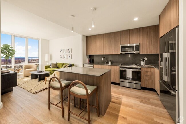
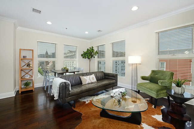
About This Property
Description coming soon, please contact your Highline Residential agent for more information ===Ref:1817143===
WADSWORTH AVENUE is an apartment community located in New York County and the 10040 ZIP Code.
Location
Get Directions
Situated between Inwood and Washington Heights, Fort George offers scenic views atop steep hills of both the Harlem and Hudson Rivers. Fort Tryon Park and Harlem River Park provide plenty of lush green space and abundant opportunities for outdoor recreation in addition to the nearby Fort Washington Park and Highbridge Park.
Fort George is largely residential, bringing a suburban feel to an urban locale. Many of the neighborhood’s homes are rentals, which boast relatively affordable rates. Yeshiva University’s main campus and a diverse mix of restaurants and cafes round out the landscape of Fort George. Convenient access to public transportation makes getting around from the neighborhood a breeze.
Learn more about living in Fort GeorgeBelow are rent ranges for similar nearby apartments
Education
| Colleges & Universities | Distance | ||
|---|---|---|---|
| Colleges & Universities | Distance | ||
| Walk: | 8 min | 0.5 mi | |
| Drive: | 7 min | 2.5 mi | |
| Drive: | 7 min | 2.6 mi | |
| Drive: | 8 min | 3.4 mi |
WADSWORTH AVENUE is within 8 minutes or 0.5 mile from Yeshiva University, Wilf. It is also near Bronx Community College and Monroe College, Bronx Campus.
Transportation options available in New York include 191 Street, located 0.2 mile from WADSWORTH AVENUE. WADSWORTH AVENUE is near Laguardia, located 9.6 miles or 20 minutes away, and Newark Liberty International, located 20.8 miles or 24 minutes away.
| Transit / Subway | Distance | ||
|---|---|---|---|
| Transit / Subway | Distance | ||
|
|
Walk: | 3 min | 0.2 mi |
|
|
Walk: | 9 min | 0.5 mi |
|
|
Walk: | 11 min | 0.6 mi |
|
|
Walk: | 11 min | 0.6 mi |
|
|
Walk: | 12 min | 0.6 mi |
| Commuter Rail | Distance | ||
|---|---|---|---|
| Commuter Rail | Distance | ||
|
|
Drive: | 5 min | 1.9 mi |
| Drive: | 6 min | 1.9 mi | |
|
|
Drive: | 7 min | 2.5 mi |
|
|
Drive: | 7 min | 2.8 mi |
|
|
Drive: | 8 min | 3.3 mi |
| Airports | Distance | ||
|---|---|---|---|
| Airports | Distance | ||
|
Laguardia
|
Drive: | 20 min | 9.6 mi |
|
Newark Liberty International
|
Drive: | 24 min | 20.8 mi |
Time and distance from WADSWORTH AVENUE.
| Shopping Centers | Distance | ||
|---|---|---|---|
| Shopping Centers | Distance | ||
| Drive: | 6 min | 2.4 mi | |
| Drive: | 6 min | 2.4 mi | |
| Drive: | 7 min | 2.7 mi |
WADSWORTH AVENUE has 3 shopping centers within 2.7 miles, which is about a 7-minute drive. The miles and minutes will be for the farthest away property.
| Parks and Recreation | Distance | ||
|---|---|---|---|
| Parks and Recreation | Distance | ||
|
Fort Tryon Park
|
Walk: | 14 min | 0.8 mi |
|
J Hood Wright Park
|
Walk: | 18 min | 0.9 mi |
|
Roberto Clemente State Park
|
Drive: | 8 min | 2.6 mi |
|
Fort Washington Park
|
Drive: | 5 min | 2.9 mi |
|
Sherman Creek and Swindler Cove
|
Drive: | 8 min | 3.6 mi |
WADSWORTH AVENUE has 5 parks within 3.6 miles, including Fort Tryon Park, Sherman Creek and Swindler Cove, and J Hood Wright Park.
| Hospitals | Distance | ||
|---|---|---|---|
| Hospitals | Distance | ||
| Drive: | 3 min | 1.3 mi | |
| Drive: | 9 min | 3.5 mi | |
| Drive: | 8 min | 3.5 mi |
WADSWORTH AVENUE has 3 hospitals within 3.5 miles, the nearest is New York State Psychiatric Institute which is 1.3 miles away and a 3 minute drive.
| Military Bases | Distance | ||
|---|---|---|---|
| Military Bases | Distance | ||
| Drive: | 21 min | 11.4 mi | |
| Drive: | 28 min | 12.9 mi |
WADSWORTH AVENUE is 11.4 miles from Fort Totten US Govt Reservation, and is convenient to other military bases, including Governors Island Support Center.
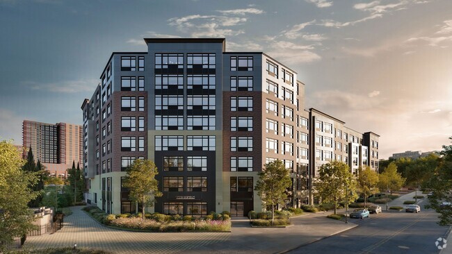
You May Also Like
Similar Rentals Nearby


What Are Walk Score®, Transit Score®, and Bike Score® Ratings?
Walk Score® measures the walkability of any address. Transit Score® measures access to public transit. Bike Score® measures the bikeability of any address.
What is a Sound Score Rating?
A Sound Score Rating aggregates noise caused by vehicle traffic, airplane traffic and local sources

320 Wadsworth Ave
New York, NY 10040