-
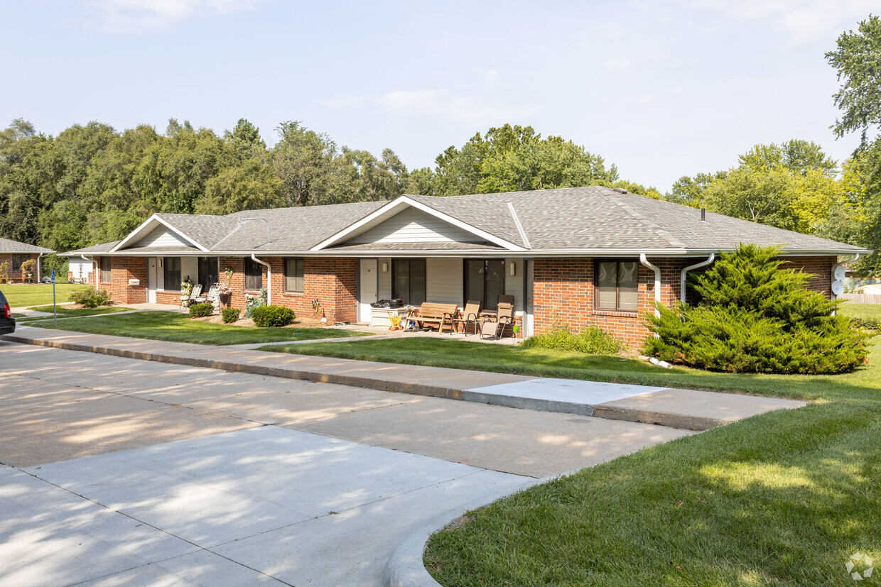
Washington Heights
-

Washington Heights
1200 Clay St,
Fort Calhoun,
NE
68023

Check Back Soon for Upcoming Availability
| Beds | Baths | Average SF | Availability |
|---|---|---|---|
| Studio Studio 0 Br | 1 Bath 1 Bath 1 Ba | — | Not Available |
About Washington Heights
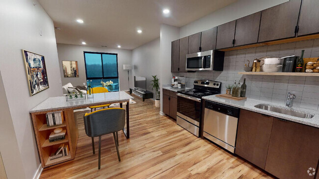
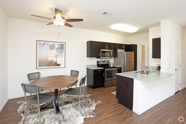
Discover your new home at Washington Heights in Fort Calhoun, NE. This community is located on Clay St in the 68023 area of Fort Calhoun. The professional leasing team is eager for you to come see our property. Give us a call now to talk about renting your new apartment.
Washington Heights is an apartment community located in Washington County and the 68023 ZIP Code. This area is served by the Fort Calhoun Community Schools attendance zone.
Fees and Policies
Details
Property Information
-
Built in 1991
-
20 units/1 story
| Colleges & Universities | Distance | ||
|---|---|---|---|
| Colleges & Universities | Distance | ||
| Drive: | 12 min | 9.4 mi | |
| Drive: | 19 min | 12.5 mi | |
| Drive: | 17 min | 12.9 mi | |
| Drive: | 25 min | 15.6 mi |
 The GreatSchools Rating helps parents compare schools within a state based on a variety of school quality indicators and provides a helpful picture of how effectively each school serves all of its students. Ratings are on a scale of 1 (below average) to 10 (above average) and can include test scores, college readiness, academic progress, advanced courses, equity, discipline and attendance data. We also advise parents to visit schools, consider other information on school performance and programs, and consider family needs as part of the school selection process.
View GreatSchools Rating Methodology
You May Also Like
Similar Rentals Nearby
What Are Walk Score®, Transit Score®, and Bike Score® Ratings?
Walk Score® measures the walkability of any address. Transit Score® measures access to public transit. Bike Score® measures the bikeability of any address.
What is a Sound Score Rating?
A Sound Score Rating aggregates noise caused by vehicle traffic, airplane traffic and local sources










Responded To This Review