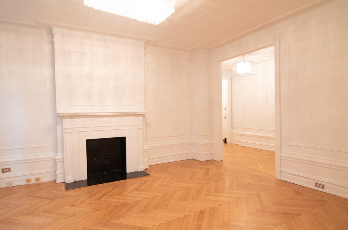
575 West End Ave Unit 3B
New York, NY 10023

Check Back Soon for Upcoming Availability
| Beds | Baths | Average SF |
|---|---|---|
| 3 Bedrooms 3 Bedrooms 3 Br | 3 Baths 3 Baths 3 Ba | — |
About This Property
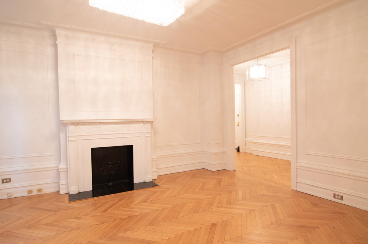
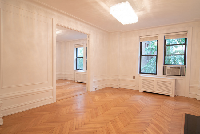
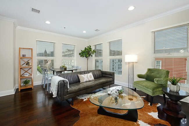
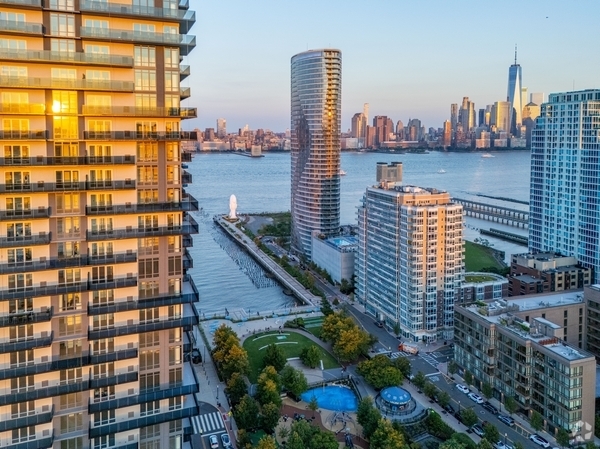
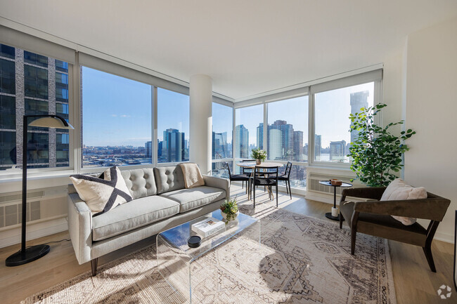
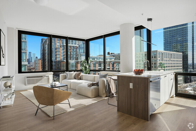
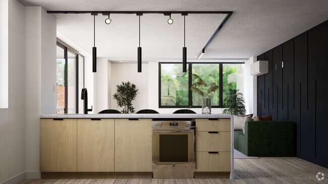
No fee wonderful 3 bedroom / 3 bathroom home on the Upper West Side. State-of-the-art kitchen with custom black marble counter-tops and stainless steel appliances. Original beautiful hardwood floors, double insulated windows, Calacata bathrooms, restored original English oak moldings, and custom lighting installed throughout. State of the art Covid-19 prevention systems and compliance Pet Friendly - Most breeds and sizes accepted 10-Foot ceilings Washer / Dryer in-unit as well as 24/7 laundry facilities in the building Entire building outfitted with WiFi technology 24/7 Doorman Concierge Building Fully staffed maintenance staff Bike room Steps to Riverside Park & Soldiers' and Sailors' Monument One block to the 1-Subway station ===Ref:2095157===
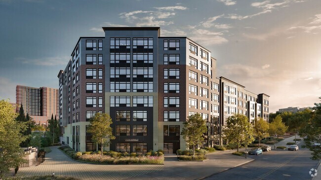
WEST END AVENUE is an apartment community located in New York County and the 10023 ZIP Code.
New York City’s Upper West Side is one of the most desirable neighborhoods in Manhattan. While landmarks like the Metropolitan Opera, the Lincoln Center, and the American Museum of Natural History lend a distinctly highbrow air to the landscape, the overall community environment favors down-to-earth personalities and accessible neighborhood amenities.
So what’s it like to live in the Upper West Side, and what exactly is this neighborhood known for? The local dining scene is superb, featuring a vast landscape of restaurants representing every style and flavor imaginable, most of which are affordable enough to become regular stops. Grocers and retail stores are close at hand, and everywhere in the Upper West Side is within walking distance of Central Park— those living near the eastern edge of the neighborhood can enjoy gorgeous views of the sun rising over the park every morning.
Learn more about living in Upper West Side| Colleges & Universities | Distance | ||
|---|---|---|---|
| Colleges & Universities | Distance | ||
| Drive: | 5 min | 1.6 mi | |
| Drive: | 5 min | 1.7 mi | |
| Drive: | 4 min | 1.7 mi | |
| Drive: | 4 min | 2.0 mi |
Transportation options available in New York include 86 Street (1,2 Line), located 0.2 mile from WEST END AVENUE. WEST END AVENUE is near Laguardia, located 9.6 miles or 20 minutes away, and Newark Liberty International, located 16.1 miles or 25 minutes away.
| Transit / Subway | Distance | ||
|---|---|---|---|
| Transit / Subway | Distance | ||
|
|
Walk: | 3 min | 0.2 mi |
|
|
Walk: | 9 min | 0.5 mi |
|
|
Walk: | 10 min | 0.5 mi |
|
|
Walk: | 10 min | 0.6 mi |
|
|
Walk: | 17 min | 0.9 mi |
| Commuter Rail | Distance | ||
|---|---|---|---|
| Commuter Rail | Distance | ||
|
|
Drive: | 8 min | 3.1 mi |
|
|
Drive: | 9 min | 3.3 mi |
|
|
Drive: | 9 min | 3.3 mi |
|
|
Drive: | 9 min | 3.5 mi |
|
|
Drive: | 8 min | 3.8 mi |
| Airports | Distance | ||
|---|---|---|---|
| Airports | Distance | ||
|
Laguardia
|
Drive: | 20 min | 9.6 mi |
|
Newark Liberty International
|
Drive: | 25 min | 16.1 mi |
Time and distance from WEST END AVENUE.
| Shopping Centers | Distance | ||
|---|---|---|---|
| Shopping Centers | Distance | ||
| Drive: | 16 min | 7.3 mi | |
| Drive: | 17 min | 9.6 mi | |
| Drive: | 18 min | 10.4 mi |
| Parks and Recreation | Distance | ||
|---|---|---|---|
| Parks and Recreation | Distance | ||
|
Children's Museum of Manhattan
|
Walk: | 7 min | 0.4 mi |
|
American Museum of Natural History
|
Walk: | 19 min | 1.0 mi |
|
Riverside Park
|
Drive: | 2 min | 1.2 mi |
|
Riverside Park
|
Drive: | 2 min | 1.2 mi |
|
Damrosch Park
|
Drive: | 4 min | 1.5 mi |
| Hospitals | Distance | ||
|---|---|---|---|
| Hospitals | Distance | ||
| Drive: | 5 min | 1.7 mi | |
| Drive: | 6 min | 1.9 mi | |
| Drive: | 6 min | 2.3 mi |
| Military Bases | Distance | ||
|---|---|---|---|
| Military Bases | Distance | ||
| Drive: | 21 min | 7.6 mi | |
| Drive: | 29 min | 14.1 mi |
You May Also Like
Similar Rentals Nearby
What Are Walk Score®, Transit Score®, and Bike Score® Ratings?
Walk Score® measures the walkability of any address. Transit Score® measures access to public transit. Bike Score® measures the bikeability of any address.
What is a Sound Score Rating?
A Sound Score Rating aggregates noise caused by vehicle traffic, airplane traffic and local sources
