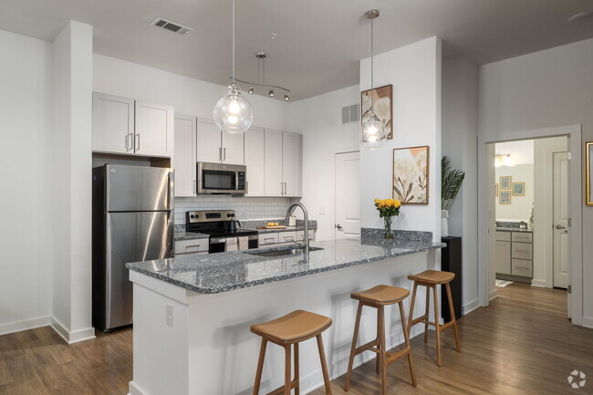
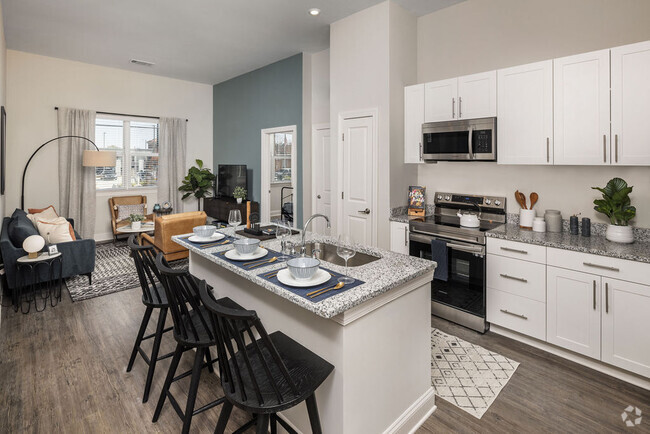
24,128 Apartamentos de renta en Charlotte NC
-
-
-
-
-
-
-
-
-
-
-
-
-
-
-
-
-
-
-
-
-
-
-
-
-
-
-
-
-
-
-
-
-
-
-
-
-
-
-
-
-
Se muestran 40 de 700 resultados - Página 1 de 18
Encuentra el apartamento perfecto en Charlotte, NC
Apartamentos de renta en Charlotte NC
Encontrar apartamentos en alquiler en Charlotte, NC
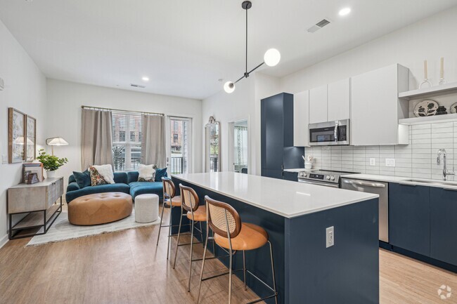
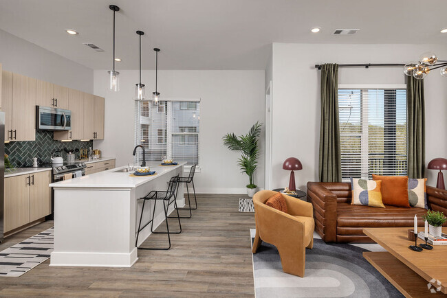
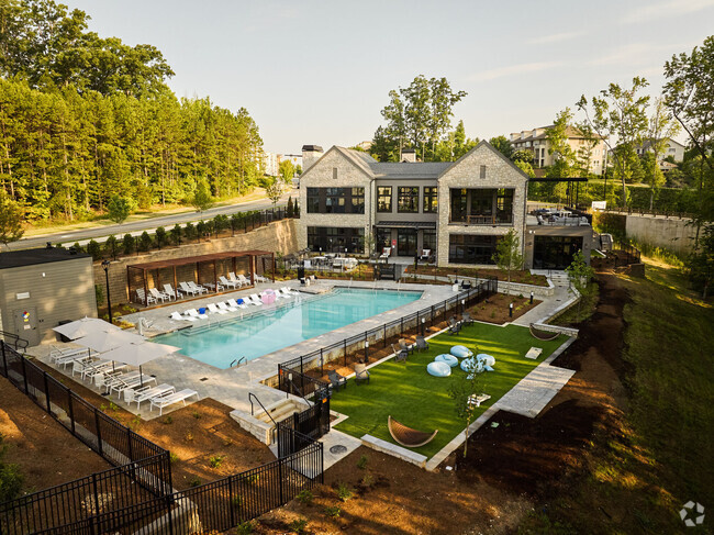
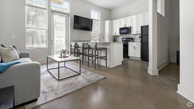
Como un constante crecimiento de la ciudad, Charlotte, ofrece una gran variedad de apartamentos disponibles en alquiler. Muchos de estos son administrados complejos que ofrecen una amplia variedad de comodidades, tales como piscinas y salas de ejercicios. Puedes esperar pagar más para vivir en uno de estos lugares, especialmente si se’s o recientemente construido recientemente construido. Si tú’estamos buscando algo con un poco menos de configuración boxed-in donde puedes tener vecinos arriba, abajo y a ambos lados de tú, el Queen City cuenta con algunos de los tesoros ocultos de todo. Algunos de estos complejos ofrecen configuraciones estilo residencial con patios y almacenaje adicional. Ellos generalmente cuestan menos de los complejos más grandes, pero que también ofrecen menos que respecta a los servicios de la comunidad.
Vecindarios populares en Charlotte, NC
Charlotte es una ciudad interminable, así que hay varias codiciados para elegir. Acontinuación, se enumeran algunos de los mejores queridos incluyen el área de SouthPark, el área de Myers Park y Uptown. Las tarifas de alquiler en estas áreas son más altas que están en la mayoría de las otras áreas de la ciudad, pero también ofrecen estos vecindarios las tasas de delito más bajas y fácil acceso a restaurantes, tiendas y otros servicios. En las afueras de la mayor área de Charlotte, puedes encontrar apartamentos en alquiler en los vecindarios más importantes, como Steele Creek, en el suroeste de Charlotte, en el sur de Charlotte Ballantyne y el área de la universidad cerca de la UNC Charlotte, en la parte noreste de la ciudad.
Clima en Charlotte, NC
Charlotte experiencias de las cuatro estaciones, a pesar de que el tiempo puedes ser impredecible por momentos. El alturas durante el verano pueden llegar al 90s, con un aroma desagradable cantidad de humedad, mientras que el invierno niveles nunca antes vistos, podrán encontrarla en la 20s. La altas promedio para el año es 89, y la bajo, promedio es de 30. Afortunadamente, la mayoría de los apartamentos en Charlotte tienen aire acondicionado central, así que no’tendrá que lidiar con el calor del verano y la humedad mucho. La primavera y otoño tienen la más leve de las temperaturas en general, aunque estas son también el momento en el que tiende de Charlotte para obtener éxito para las inclemencias del tiempo, como el mal tormentas eléctricas o torrencial aguaceros. Una vez en un rato, relojes provocados por el tornado son emitidas, aunque estas, por lo general, afecta las áreas que están cerca o a poco más de Charlotte’s rodea. La nieve y el hielo son bastante poco frecuentes, pero la ciudad no ten un poco de aguanieve o congelación de lluvia, por lo general, en enero o febrero.
Compras en Charlotte, NC
The Queen City ofrece varios centros comerciales, centros comerciales y tiendas de venta al por menor, que incluyen plazas, y que no lo es't difícil de encontrar apartamentos en el área de Charlotte que están cerca de al menos uno de ellos. Encontrarás centros comerciales en el área incluyen el sofisticado El centro comercial SouthPark Mall y el más asequible Carolina Place Mall en el sur de Charlotte y el Northlake Mall en el noroeste de Charlotte. Las grandes centros comerciales que ofrece una variedad de prestigiosas tiendas y restaurantes, y más pequeñas, propietarios independientes incluyen comercios y restaurantes RiverGate en el sudoeste de Charlotte, el Arboretum en el sur de Charlotte y la mejor ubicación Park Road Shopping Center, Carolina Pavilion y Cotswold Village Shops. El área de SouthPark también ofrece sofisticadas boutiques y restaurantes de primer nivel, mientras NoDa, o el área norte de Davidson cerca de la parte residencial de la ciudad, cuenta con varias tiendas de moda que vende ropa, arte, artículos para el hogar y joyas hechas a mano.
Atracciones culturales en Charlotte, NC
Ya sea que le guste la historia, el arte o en auto de autos de carreras, tú’encontrarás algo para ver en Charlotte que’s encuentran a poca distancia. La Museo de Naturaleza de Charlotte cerca Freedom Park tiene una combinación de animales vivos y exposiciones educativas, donde puedes ver y aprender más sobre el área’s vida silvestre. También puedes acercarte a la naturaleza al caminar por los senderos derecha, detrás del museo. En el Museo de Historia de Charlotte, ubicado a unos pocos millas al este de la parte alta de la ciudad, puedes aprender sobre la ciudad’s raíces históricas y visita un hogar que data de la Guerra de Independencia de los Estados Unidos. La Museo de Arte Mint cerca Eastover Park alberga una impresionante colección de obras de arte de todo el mundo. Si tú’Re de un fanático de las carreras, luego la Salón de la Fama de NASCAR en la zona residencial y el NASCAR Charlotte Motor Speedway en las cercanías de Concord, son lugares imperdibles. No importa dónde encontrar un apartamento en Charlotte, que sea divertido't llevará mucho tiempo para llegar a cualquiera de estas atracciones culturales.
Opciones de transporte en Charlotte, NC
Gracias a tu disposición spread-out, Charlotte es más de un campo de la ciudad que uno que se basa en transporte público. Sin embargo, la ciudad ofrece opciones para aquellos que necesitan para hacer de los apartamentos de Charlotte para trabajar o para ir Uptown para ver el último espectáculo en Auditorio Ovens o ver a los Panthers de juegos Bank of America Stadium. La SE ADMITEN GATOS sistema de autobuses ofrece cerca de rutas y horarios para la mayoría de las áreas alrededor de la parte residencial de la ciudad. La Sistema de tren ligero LYNX ESTÁ UBICADO DELANTE DE LA ENTRADA ofrece una forma rápida de llegar a la parte residencial de la ciudad y la espalda sin tener que preocuparse por lidiar con el tránsito y encontrar un lugar de estacionamiento en el corazón de la ciudad. Hay una gran cantidad de espacios de estacionamiento disponibles en cada una de la estación de tren ligero’s estaciones. Si tiene que trasladarse hacia y desde el más alejados de las áreas de la ciudad, puedes que tengas más tiempo buscando el transporte público. El servicio Cabs también están disponibles, aunque este modo de transporte no lo es't la más rentable.
Información sobre alquileres en Charlotte, NC
Promedios de Alquiler
El alquiler medio en Charlotte es de $1,491. Cuando alquilas un apartamento en Charlotte, puedes esperar pagar $1,410 como mínimo o $2,228 como máximo, dependiendo de la ubicación y el tamaño del apartamento.
El precio promedio de renta de un estudio en Charlotte, NC es $1,410 por mes.
El precio promedio de renta de un apartamento de una habitacion en Charlotte, NC es $1,490 por mes.
El precio promedio de renta de un apartamento de dos habitaciones en Charlotte, NC es $1,794 por mes.
El precio promedio de renta de un apartamento de tres habitaciones en Charlotte, NC es $2,228 por mes.
Educación
Si eres un estudiante que se muda a un apartamento en Charlotte, tendrás acceso a Central Piedmont C.C., Central, Queens University of Charlotte, y Johnson & Wales U., Charlotte.
Busquedas Cercanas de Alquileres
Ciudades
Vecindarios
Casas
Alquileres de casas adosadas ...
- Matthews casas adosadas para alquilar
- Pineville casas adosadas para alquilar
- Mint Hill casas adosadas para alquilar
- Stallings casas adosadas para alquilar
- Belmont casas adosadas para alquilar
- Mount Holly casas adosadas para alquilar
- Harrisburg casas adosadas para alquilar
- Hemby Bridge casas adosadas para alquilar
- Huntersville casas adosadas para alquilar
Alquileres de condominios cerca ...
- Matthews condominios para alquilar
- Pineville condominios para alquilar
- Mint Hill condominios para alquilar
- Stallings condominios para alquilar
- Belmont condominios para alquilar
- Mount Holly condominios para alquilar
- Harrisburg condominios para alquilar
- Hemby Bridge condominios para alquilar
- Huntersville condominios para alquilar
