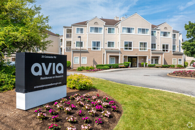
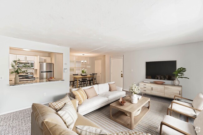
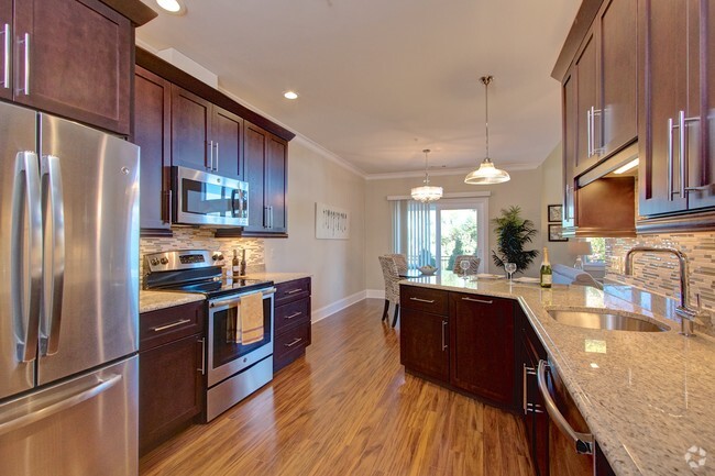
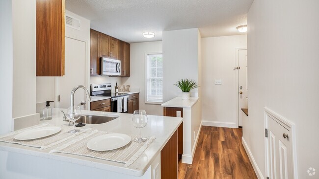
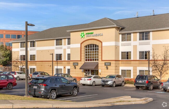
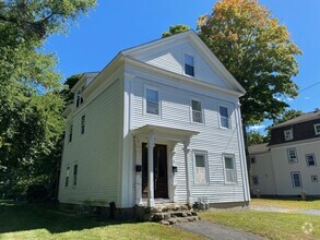
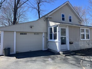
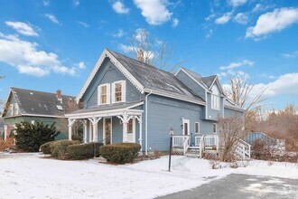
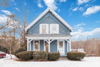
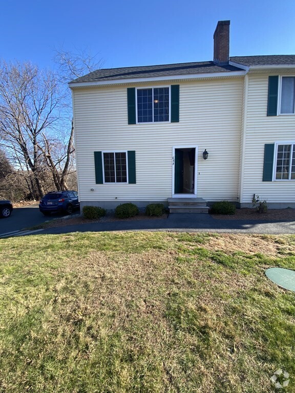
208 Apartamentos de renta en Westborough MA


Encuentra el apartamento perfecto en Westborough, MA
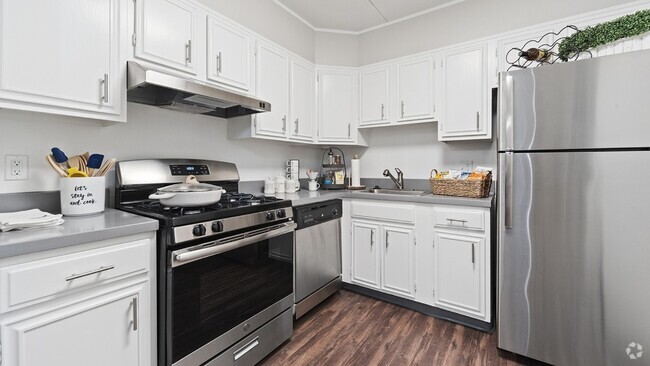
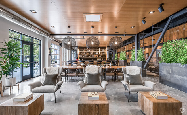
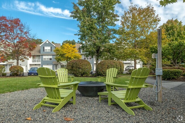
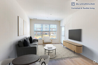
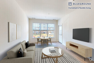
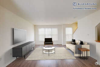
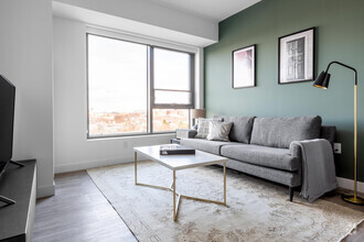
Apartamentos de renta en Westborough MA
Deja que Apartamentos.com te ayude a encontrar el lugar perfecto cerca de ti. Ya sea que busques un apartamento lujoso de dos habitaciones o un acogedor estudio, Apartamentos.com te ofrece una manera práctica de consultar el extenso inventario de apartamentos cerca de ti para descubrir el lugar al que deseas llamar tu hogar.
Busquedas Cercanas de Alquileres
Ciudades
Vecindarios
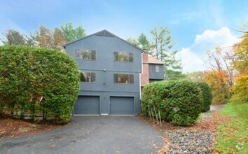
Casas
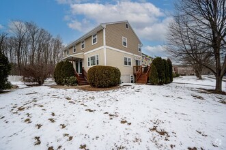
Alquileres de casas adosadas ...
- Northborough casas adosadas para alquilar
- Southborough casas adosadas para alquilar
- North Grafton casas adosadas para alquilar
- Hopkinton casas adosadas para alquilar
- Shrewsbury casas adosadas para alquilar
- Grafton casas adosadas para alquilar
- Upton casas adosadas para alquilar
- Marlborough casas adosadas para alquilar
- Ashland casas adosadas para alquilar
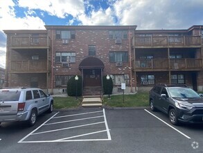
Alquileres de condominios cerca ...
- Northborough condominios para alquilar
- Southborough condominios para alquilar
- North Grafton condominios para alquilar
- Hopkinton condominios para alquilar
- Shrewsbury condominios para alquilar
- Grafton condominios para alquilar
- Upton condominios para alquilar
- Marlborough condominios para alquilar
- Ashland condominios para alquilar