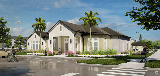
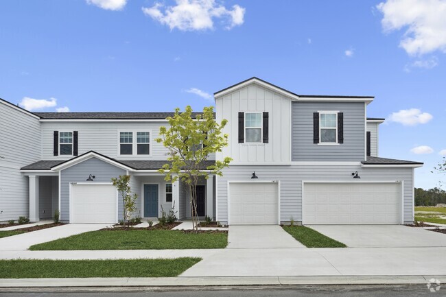
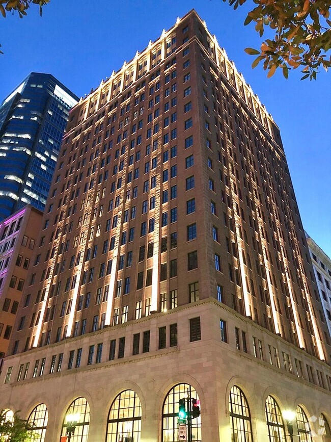
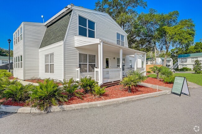
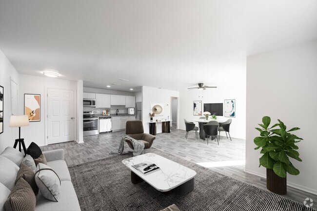
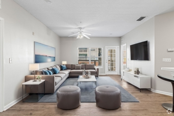
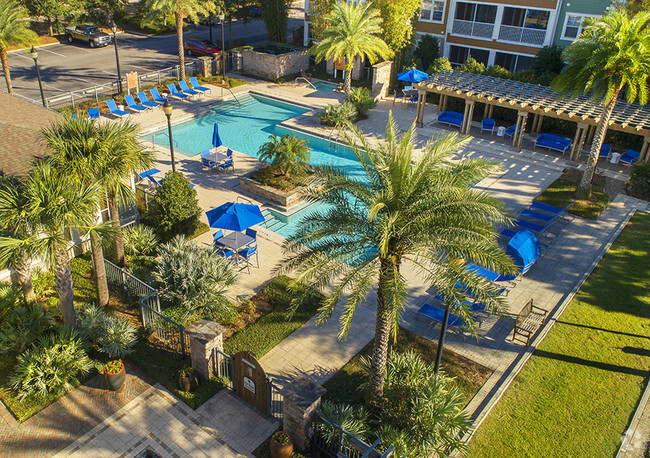
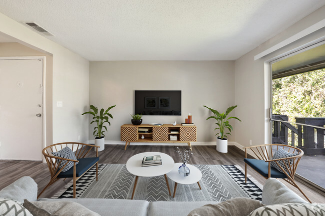
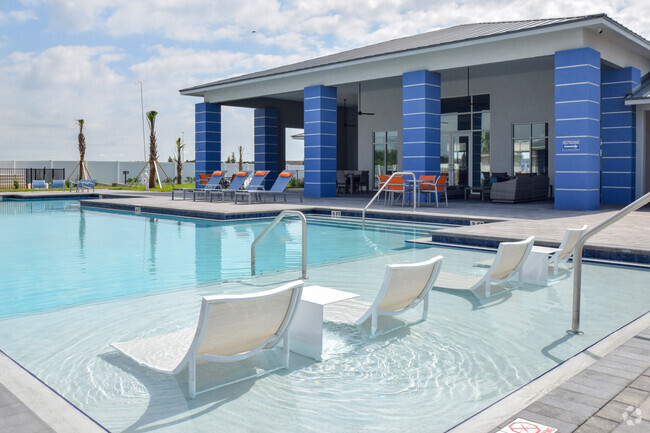
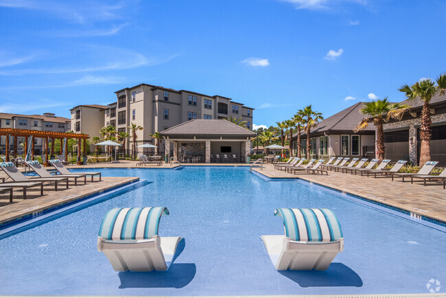
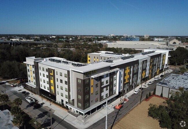
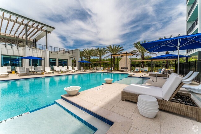
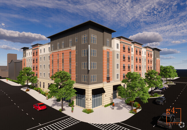
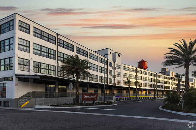
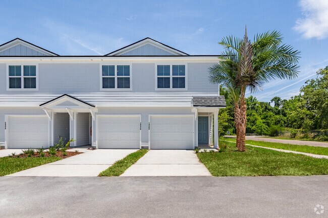
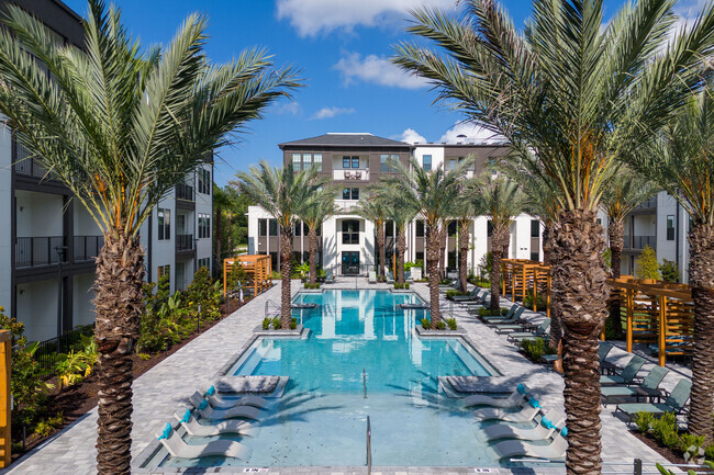
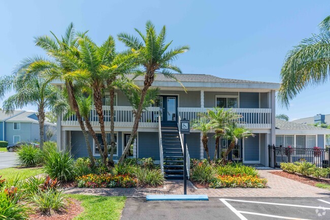
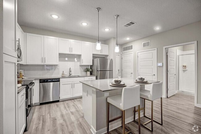
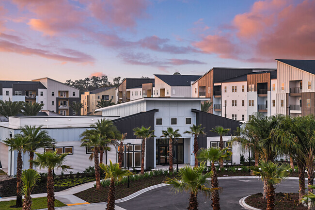
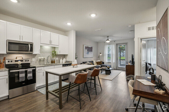
13,932 Apartamentos de renta en Jacksonville FL
-
-
-
-
-
-
-
-
-
-
-
-
-
-
-
-
-
-
-
-
-
-
-
-
-
-
-
-
-
-
-
-
-
-
-
-
-
-
-
-
-
Se muestran 40 de 700 resultados - Página 1 de 18


Encuentra el apartamento perfecto en Jacksonville, FL
Apartamentos de renta en Jacksonville FL
Encontrar apartamentos en alquiler en Jacksonville, FL
Ya sea que'estamos que pasan a una nueva ciudad o simplemente trata de encontrar una mejor lugar para vivir, la búsqueda de apartamento puedes ser agotador. Ubicado en la parte noreste de Florida, Jacksonville combina la hospitalidad sureña con cómodos al parte meteorológico y a precios asequibles. Encontrar un apartamento en Jacksonville está relativamente fácil. Debido a la ciudad's gran tamaño y de baja densidad, tiene una gran cantidad de oportunidades de baja altura de los complejos de apartamentos donde quiera que estés.
Vecindarios populares en Jacksonville, FL
Como la ciudad más grande de Florida, hay muchas opciones para apartamentos de alquiler. Donde te asientas realmente depende de la razón por la que está en la ciudad. Si estar cerca de los museos es más tu estilo, echa un vistazo a los apartamentos en Riverside Ave y disfrutan de econtrarse a una caminata de distancia de casi todos los eventos culturales de la ciudad. Si tú'busque un estilo de vida frente a la playa hay muchas opciones así.
Gastronomía en Jacksonville, FL
El South no lo es't trata solo de barbacoa y de dulces fritos, aunque hay un sinfín deliciosas variedades disponibles en Jacksonville. El mejor almuerzo en la ciudad puedes convertirse en un pequeño sándwich de ensalada pequeña y la tienda llamada Alacena de la cocina francesa. Todos los días de mediodía a tú'll ver una línea abre la puerta como personas en cola para tu oportunidad en la bruschetta de tomate ensalada y otras deliciosas comidas disponibles.
Otra opción excelente para una fecha o para disfrutar en familia es el Blue Bamboo. Un restaurante de fusión asiática, que cuenta con excelentemente elaborados mezcla entre japonesa, China, y platos coreanos que combinan algunos de los mejores sabores de cada uno.
Si el desayuno es lo que más le gusta que quizás desees conocer Maple Street panecillo Company para tus "Pterosaurios de cabra" que cuenta con jalea de pimientos, queso de cabra y pollo frito sobre una galleta de mantequilla que lo disfruta cualquiera que despierte por la mañana.
Compras en Jacksonville, FL
Al igual que cualquier gran ciudad en los Estados Unidos, se pueden encontrar una gran variedad de grandes tiendas. El puñado de los centros comerciales de primera clase en la ciudad conforman de pasar un día de compras a solo unos minutos de distancia.
El centro comercial Avenues Mall, en Southside, es un monstruo de un complejo que cuenta con varios cientos de tiendas y puestos que van desde JC Penny de Sears. Por supuesto, nadie quiere pasa todo tu tiempo en el interior en Florida, de modo que la St. Johns Town Center en Butler Blvd y la I295 cuenta con más de comodidades de lujo tales como un granero de cerámica y una Apple Store en un lugar al aire libre.
Clima en Jacksonville, FL
Por supuesto, puedes'olvide sobre la principal atracción de cualquier Floridian ciudad, el clima y el clima. Ubicado en un área subtropical húmedo del país, se experiencias inviernos templados con temperaturas que muy rara vez puedes mojar a continuación la congelación. Más de lo que no, conseguirá para disfrutar de ir afuera en los meses de invierno de manga corta y pantalones largos.
Los veranos pueden llegar muy caliente por lo que asegúrate de traer el agua con tú y déjate mimar en que la crema solar. El cercano Océano Atlántico le ayuda a moderada la temperatura, en cierta medida, cuanto más se acerca a la costa. Si elige un lugar en Jacksonville beach que puedes esperar para ser aproximadamente cinco grados el interior del enfriador de que tus vecinos.
Si bien la Florida, es conocida por los huracanes del año pasado, Jacksonville es de sorprender que casi nunca se vuelve visita directamente. La última vez que fue golpeado con un huracán fue en el 1800's, aunque cada par de años, es probable que un hotel cerca de pasar huracán, afectará las olas lo suficiente como para que la peligrosa.
Hablando de las olas, Jacksonville playa está abierto desde la primavera hasta finales del otoño. Los tiburones, por lo general, no son un problema en esta parte del Atlántico. No's casi siempre algún evento o encuentro cultural para ver en la playa todos los fines de semana por lo tanto, siempre hay mucho para hacer allí mientras disfruta de los veranos cálidos.
Deportes en Jacksonville, FL
The NFL's Jacksonville Jaguars de llamar hogar. Si bien no es un muy buen equipo, que tienen una legión de la ciudad y cada partido local todavía es una excelente oportunidad de tener un estilo de vida divertido con tu familia o amigos. Con frecuencia, sin embargo, la gente en la ciudad tienden a siga por la liga universitaria. La Universidad de Florida's "Gators" tienen una gran presencia en la ciudad, con ventiladores de la participación y fervor para el equipo que rivalizan con los que el equipo de la NFL. Si básquetbol si lo que más le gusta, los Gigantes de Jacksonville son la Asociación estadounidense de básquetbol's los campeones durante dos años consecutivos.
Ya sea que'estamos en movimiento hacia el sur para escapar de las frías los inviernos, hacia el norte, en dirección a la universidad, o simplemente cambiar de empleo, Jacksonville tiene lo que buscas. A solo minutos de distancia de la playa, que cuenta con un excelente clima, la amabilidad de la gente, y mucho para hacer.
Información sobre alquileres en Jacksonville, FL
Promedios de Alquiler
¿Cuál es el precio promedio de renta en Jacksonville, FL?
El alquiler medio en Jacksonville es de $1,314. Cuando alquilas un apartamento en Jacksonville, puedes esperar pagar $1,067 como mínimo o $1,922 como máximo, dependiendo de la ubicación y el tamaño del apartamento.
¿Cuál es el precio promedio de renta de un estudio en Jacksonville, FL?
El precio promedio de renta de un estudio en Jacksonville, FL es $1,067 por mes.
¿Cuál es el precio promedio de renta de un apartamento de 1 habitación en Jacksonville, FL?
El precio promedio de renta de un apartamento de una habitacion en Jacksonville, FL es $1,314 por mes.
¿Cuál es el precio promedio de renta de un apartamento de 2 habitaciónes en Jacksonville, FL?
El precio promedio de renta de un apartamento de dos habitaciones en Jacksonville, FL es $1,557 por mes.
¿Cuál es el precio promedio de renta de un apartamento de 3 habitaciónes en Jacksonville, FL?
El precio promedio de renta de un apartamento de tres habitaciones en Jacksonville, FL es $1,922 por mes.
Educación
¿Qué colegios y universidades hay en Jacksonville, FL?
Si eres un estudiante que se muda a un apartamento en Jacksonville, tendrás acceso a Fla. State Coll. Jacksonville, Jacksonville University, y Florida Coastal School of Law.