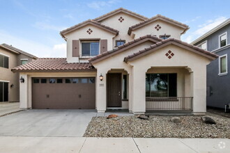
22065 E Vía Del Palo

Queen Creek, AZ 85142 East Valley

Today
Share Listing
Favorites
480-734-3644
  • Monthly Rent

    $2,200

  • Bedrooms

    3 bd

  • Bathrooms

    2 ba

  • Square Feet

    1,765 sq ft

Details

$2,300 deposit, Available Now
* Price shown is base rent and may not include non-optional fees and utilities. Price, availability, fees, and any applicable rent special are subject to change without notice.
* Square footage definitions vary. Displayed square footage is approximate.
22065 E Vía Del Palo
Share Listing
Favorites

About This Property

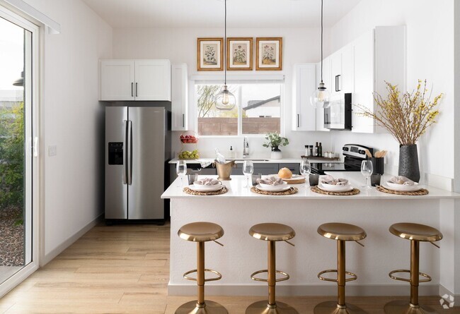
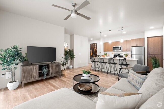
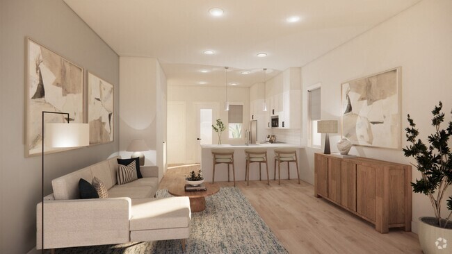
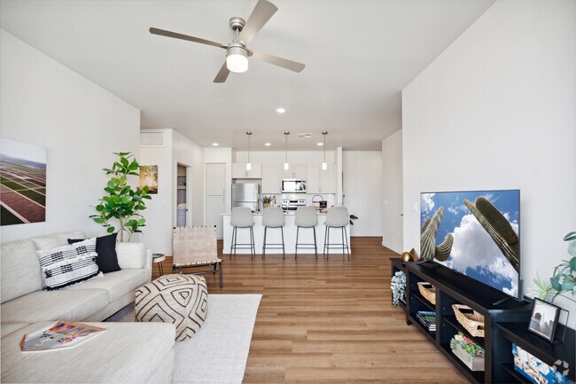
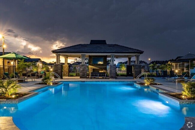
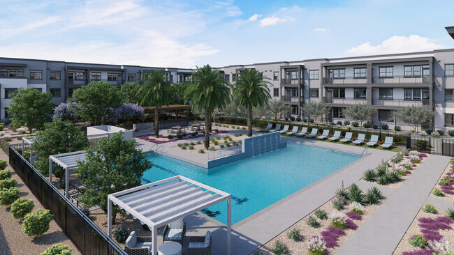
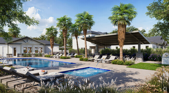
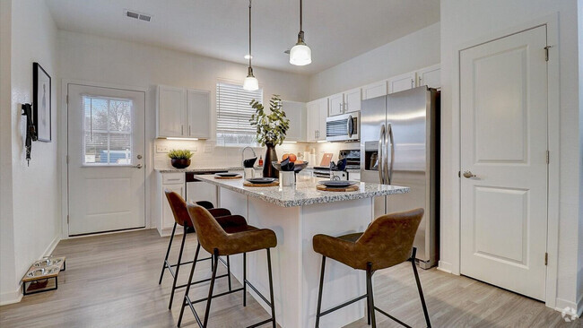
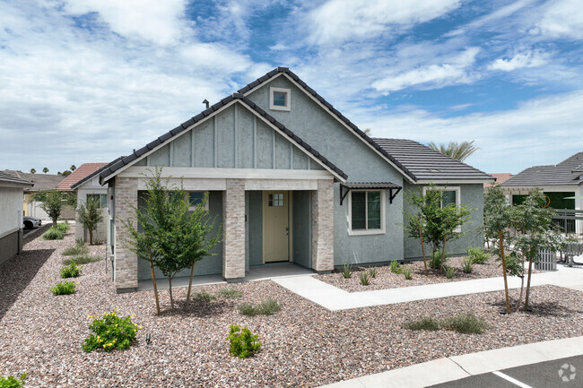
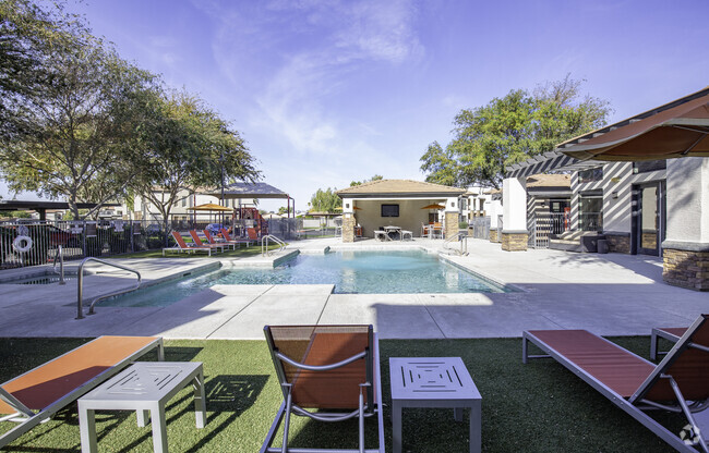
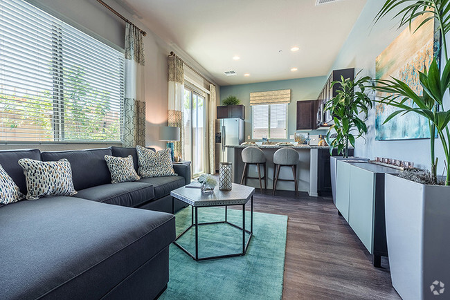
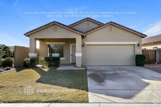
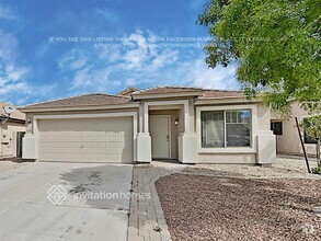
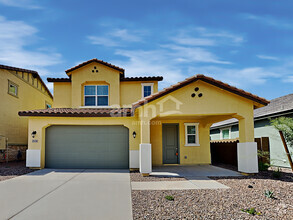
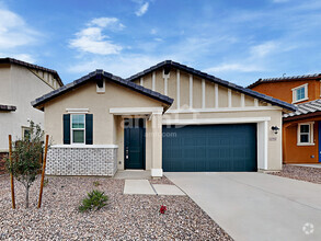
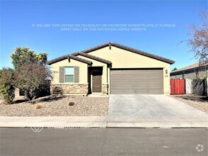
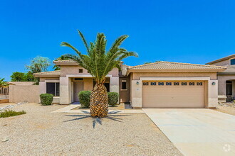
This well maintained single level golf course home is available for rent! Open great room floorplan,upgraded kitchen with refrigerator included. Welcoming backyard over looking the golf course with pavers and covered patio. Low maintenance front yard with turf. Master bedroom split from other 2 bedrooms. Both bathrooms have been remodeled,Community includes pool,tennis courts,and rec. room.

22065 E Vía Del Palo is a house located in Maricopa County and the 85142 ZIP Code. This area is served by the Queen Creek Unified District attendance zone.

Contact

Betsie Melter
realty one group
Arizona Regional MLS
Copyright 2024 Arizona Regional MLS. All rights reserved. Information is deemed reliable but not guaranteed.
Location
Property Address: 22065 E Vía Del Palo, Queen Creek,
AZ 85142
Get Directions
This Property Available Property
City - Queen Creek

The state of Arizona is known for its beautiful natural landscapes and agriculture, and Queen Creek is no exception. Though made up of busy suburban streets with many family-friendly apartment and house rentals, the city is surrounded by natural landscapes, located directly north of San Tan Mountain Regional Park.

With more than 10,000 acres of natural desert and mountainous terrain, it’s impossible not to be impressed. And if you’re not, we’re impressed enough for us both! Hiking or biking through this popular park is a must, but if you’re more interested in learning about the area’s landscape and wildlife, venture over to the visitor’s center and wildlife exhibits.

Located 38 miles southeast of Phoenix, you can easily catch a live show at the Van Buren, take the family to the Children’s Museum of Phoenix, or attend an Arizona Diamondbacks game at Chase Field! You won’t regret immersing yourself in this nearby bustling city.

Learn more about living in Queen Creek 
Education
Colleges & Universities Distance
Drive: 15 min 7.2 mi
Drive: 16 min 7.6 mi
Drive: 25 min 13.0 mi
Drive: 25 min 14.9 mi
22065 E Vía Del Palo is within 15 minutes or 7.2 miles from Arizona State Univ., Polytech. It is also near Chandler-Gilbert C.C., Mesa and Chandler-Gilbert C.C., Pecos.
Schools
Public Elementary School
Grades PK-6
624 Students
Attendance Zone
8
Out of 10
Public Middle School
Grades 7-8
241 Students
Attendance Zone
6
Out of 10
Public High School
Grades 9-12
2,233 Students
Attendance Zone
8
Out of 10
Private Elementary, Middle & High School
Grades PK-12
97 Students
Nearby
Private Elementary, Middle & High School
Grades K-12
Nearby
Transportation

Transportation options available in Queen Creek include Gilbert Rd/Main St, located 22.2 miles from 22065 E Vía Del Palo. 22065 E Vía Del Palo is near Phoenix-Mesa Gateway, located 6.6 miles or 13 minutes away, and Phoenix Sky Harbor International, located 35.9 miles or 51 minutes away.

Transit / Subway Distance
Drive: 34 min 22.2 mi
Drive: 34 min 22.7 mi
Drive: 36 min 23.6 mi
Drive: 36 min 24.1 mi
Drive: 36 min 24.6 mi
Commuter Rail Distance
Drive: 55 min 35.6 mi
Airports Distance
Airports Distance
Phoenix-Mesa Gateway
Drive: 13 min 6.6 mi
Phoenix Sky Harbor International
Drive: 51 min 35.9 mi
Car-Dependent
7
Walk Score®
Out of 100
This area is considered a car-dependent area and most errands will require a car.
Minimal Transit
0
Transit Score®
Out of 100
Somewhat Bikeable
42
Bike Score®
Out of 100
You might be able to find places to ride your bike in this area, but you’ll most likely want your car for most errands.
-
-
Soundscore
Out of 100

Traffic:

-

Airport:

-

Businesses:

-

Score provided by

Scores provided by  and

Score provided by

Points of Interest

Time and distance from 22065 E Vía Del Palo.

Shopping Centers Distance
Walk: 20 min 1.1 mi
Drive: 3 min 1.5 mi
Drive: 4 min 1.9 mi
22065 E Vía Del Palo has 3 shopping centers within 1.9 miles, which is about a 4-minute drive. The miles and minutes will be for the farthest away property.
Parks and Recreation Distance
San Tan Mountain Regional Park
Drive: 20 min 8.8 mi
City of Chandler Environmental Education Center
Drive: 20 min 10.8 mi
22065 E Vía Del Palo has 2 parks within 10.8 miles, including San Tan Mountain Regional Park, and City of Chandler Environmental Education Center.
Hospitals Distance
Hospitals Distance
Drive: 7 min 3.8 mi
Drive: 19 min 10.1 mi
22065 E Vía Del Palo is 3.8 miles from Banner Ironwood Medical Center, and is convenient to other hospitals, including Mercy Gilbert Medical Center.
Military Bases Distance
Drive: 50 min 36.6 mi
Drive: 80 min 61.1 mi
Drive: 123 min 94.4 mi
22065 E Vía Del Palo has 3 military bases within 94.4 miles, the nearest is Phoenix Sky Harbor Airport Air Guard Station which is 36.6 miles away and a 50 minutes .

You May Also Like

Similar Rentals Nearby