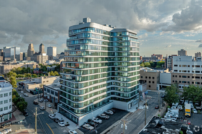
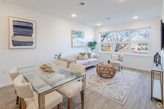
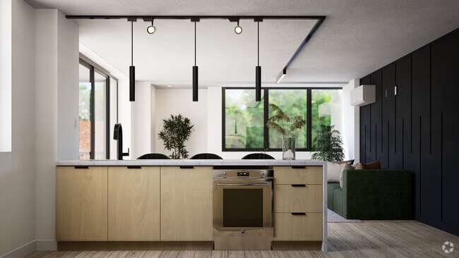
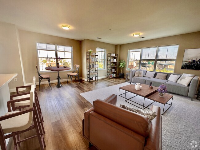
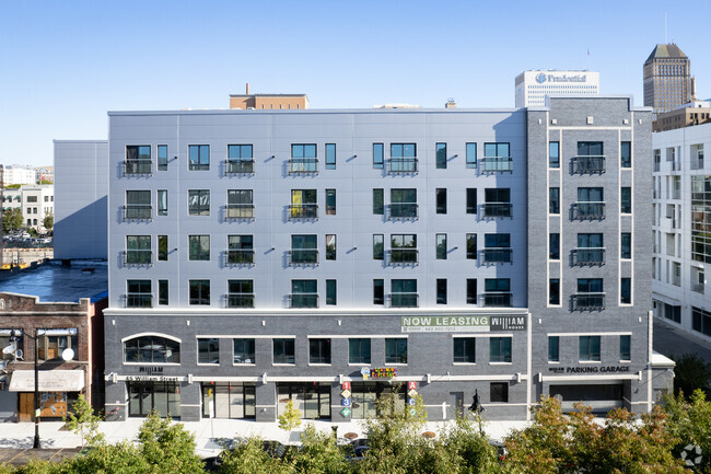
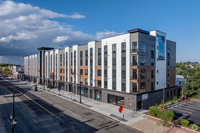
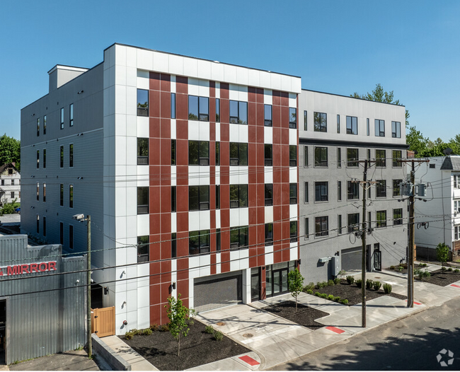
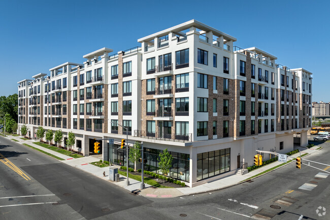
1,827 Apartamentos de renta en Newark NJ
-
-
-
-
-
-
-
-
-
-
-
-
-
-
-
-
-
-
-
-
-
-
-
1 / 55
-
1 / 37
-
-
-
-
-
-
-
-
-
-
-
-
-
-
1 / 42
-
-
-
Se muestran 40 de 598 resultados - Página 1 de 15
Encuentra el apartamento perfecto en Newark, NJ
Apartamentos de renta en Newark NJ
Deja que Apartamentos.com te ayude a encontrar el lugar perfecto cerca de ti. Ya sea que busques un apartamento lujoso de dos habitaciones o un acogedor estudio, Apartamentos.com te ofrece una manera práctica de consultar el extenso inventario de apartamentos cerca de ti para descubrir el lugar al que deseas llamar tu hogar.
Información sobre alquileres en Newark, NJ
Promedios de Alquiler
El alquiler medio en Newark es de $1,525. Cuando alquilas un apartamento en Newark, puedes esperar pagar $1,330 como mínimo o $2,070 como máximo, dependiendo de la ubicación y el tamaño del apartamento.
El precio promedio de renta de un estudio en Newark, NJ es $1,330 por mes.
El precio promedio de renta de un apartamento de una habitacion en Newark, NJ es $1,525 por mes.
El precio promedio de renta de un apartamento de dos habitaciones en Newark, NJ es $1,956 por mes.
El precio promedio de renta de un apartamento de tres habitaciones en Newark, NJ es $2,070 por mes.
Transporte
Newark tiene distintas opciones de transporte, pero en general tiene una puntuación de transporte público de 69.
Educación
En Newark, encontrarás escuelas primarias de primer nivel como Lafayette Street Elementary School, Wilson Avenue Elementary School, y Oliver Street Elementary School.
Newark es el hogar de algunas escuelas medias de primer nivel, incluyendo Science High School, Lafayette Street Elementary School, y Wilson Avenue Elementary School.
Para los estudiantes de secundaria es difícil mudarse de casa. Busca apartamentos en Newark cerca de escuelas secundarias de primer nivel como Science High School, Technology High School, y University High School.
Si eres un estudiante que se muda a un apartamento en Newark, tendrás acceso a Essex County College, N.J. Inst. of Technology, y Rutgers, Newark Campus.
Busquedas Cercanas de Alquileres
Ciudades
Vecindarios
Casas
Alquileres de casas adosadas ...
- East Newark casas adosadas para alquilar
- Harrison casas adosadas para alquilar
- Ironbound casas adosadas para alquilar
- Irvington casas adosadas para alquilar
- East Orange casas adosadas para alquilar
- Silver Lake casas adosadas para alquilar
- Kearny casas adosadas para alquilar
- Hillside casas adosadas para alquilar
- Watsessing casas adosadas para alquilar
Alquileres de condominios cerca ...
- East Newark condominios para alquilar
- Harrison condominios para alquilar
- Ironbound condominios para alquilar
- Irvington condominios para alquilar
- East Orange condominios para alquilar
- Silver Lake condominios para alquilar
- Kearny condominios para alquilar
- Hillside condominios para alquilar
- Watsessing condominios para alquilar


