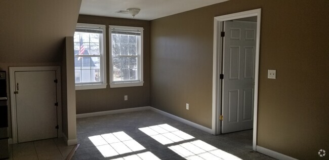
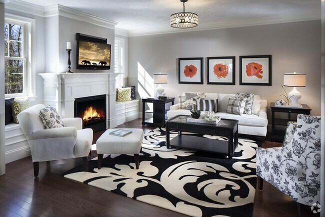
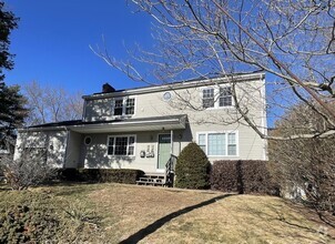
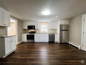
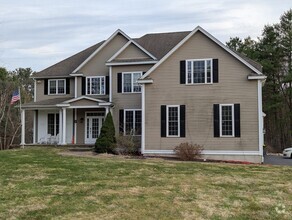
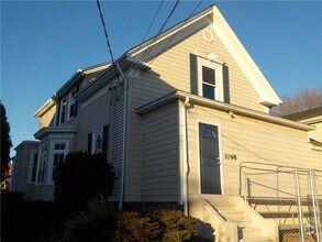
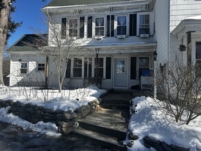
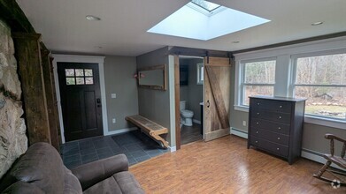
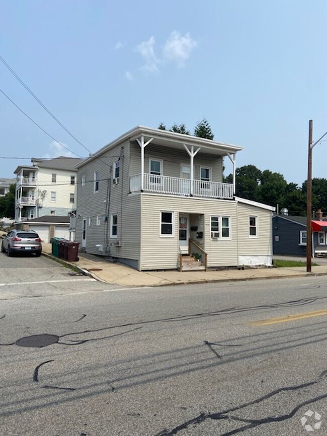
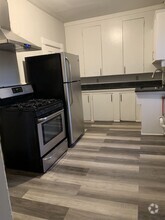
45 Apartamentos de renta en Bellingham MA

Encuentra el apartamento perfecto en Bellingham, MA
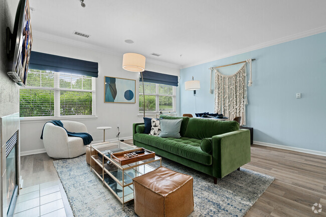
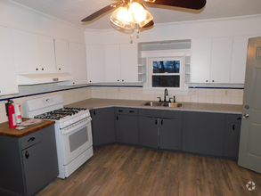
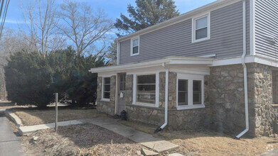
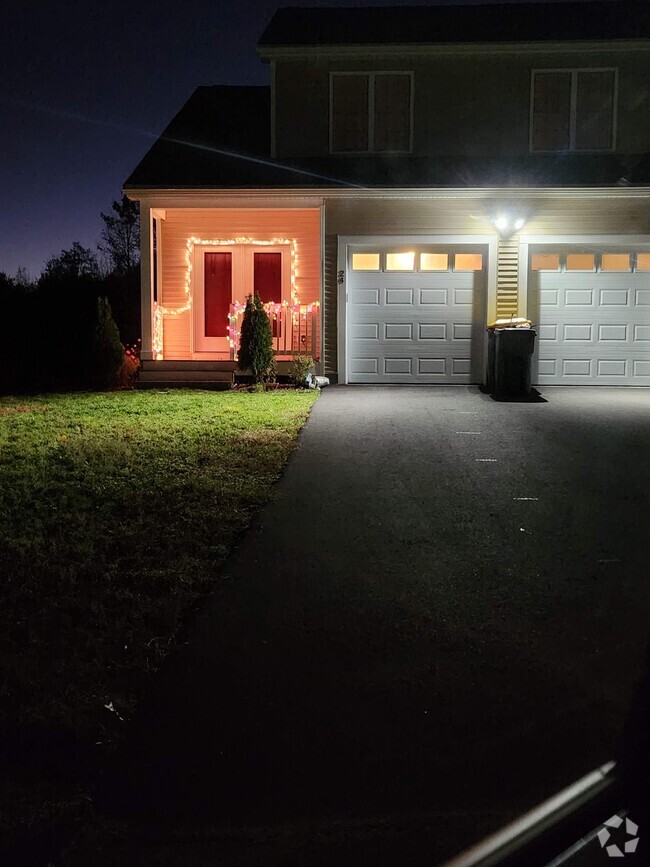
Apartamentos de renta en Bellingham MA
Deja que Apartamentos.com te ayude a encontrar el lugar perfecto cerca de ti. Ya sea que busques un apartamento lujoso de dos habitaciones o un acogedor estudio, Apartamentos.com te ofrece una manera práctica de consultar el extenso inventario de apartamentos cerca de ti para descubrir el lugar al que deseas llamar tu hogar.
Información sobre alquileres en Bellingham, MA
Promedios de Alquiler
¿Cuál es el precio promedio de renta en Bellingham, MA?
El alquiler medio en Bellingham es de $2,286. Cuando alquilas un apartamento en Bellingham, puedes esperar pagar $2,286 como mínimo o $3,173 como máximo, dependiendo de la ubicación y el tamaño del apartamento.
¿Cuál es el precio promedio de renta de un apartamento de 1 habitación en Bellingham, MA?
El precio promedio de renta de un apartamento de una habitacion en Bellingham, MA es $2,286 por mes.
¿Cuál es el precio promedio de renta de un apartamento de 2 habitaciónes en Bellingham, MA?
El precio promedio de renta de un apartamento de dos habitaciones en Bellingham, MA es $2,646 por mes.
¿Cuál es el precio promedio de renta de un apartamento de 3 habitaciónes en Bellingham, MA?
El precio promedio de renta de un apartamento de tres habitaciones en Bellingham, MA es $3,173 por mes.
Educación
¿Qué colegios y universidades hay en Bellingham, MA?
Si eres un estudiante que se muda a un apartamento en Bellingham, tendrás acceso a Bryant University, C.C. of Rhode Island, Flanagan, y Framingham State College.
Busquedas Cercanas de Alquileres
Ciudades
Vecindarios
Casas
Alquileres de casas adosadas ...
- Franklin casas adosadas para alquilar
- Mendon casas adosadas para alquilar
- Hopedale casas adosadas para alquilar
- Wrentham casas adosadas para alquilar
- Woonsocket casas adosadas para alquilar
- Medway casas adosadas para alquilar
- Milford casas adosadas para alquilar
- Millville casas adosadas para alquilar