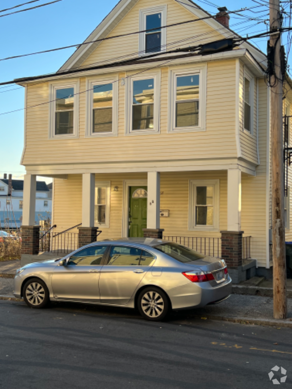
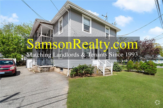
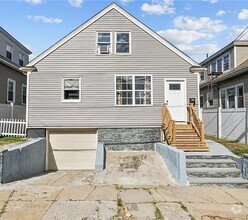
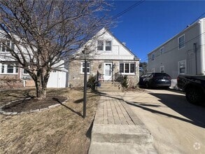
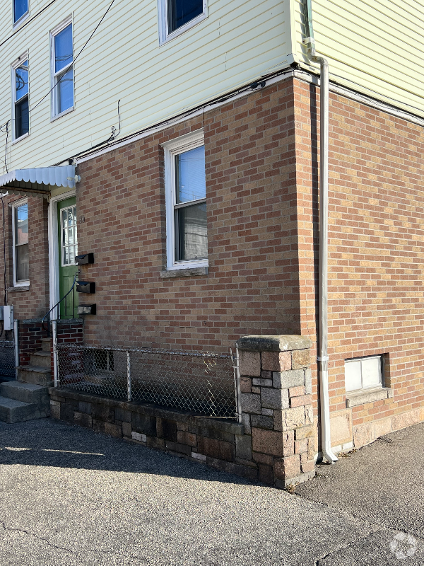
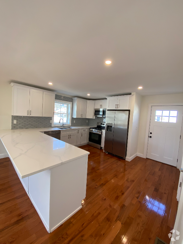
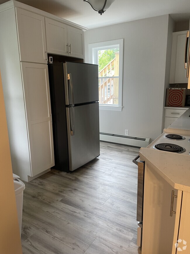
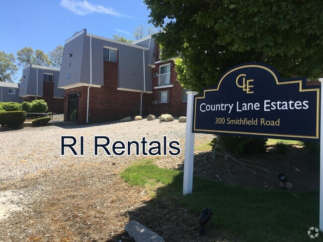
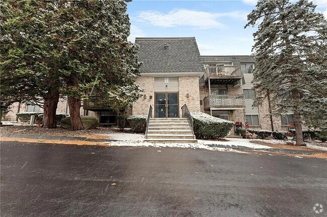
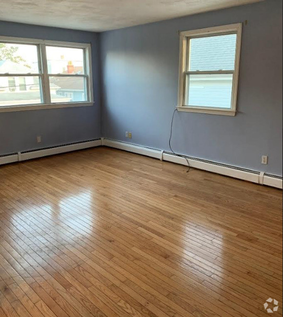
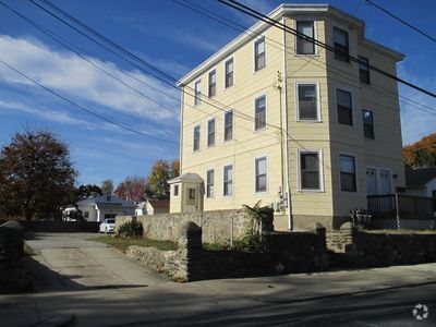
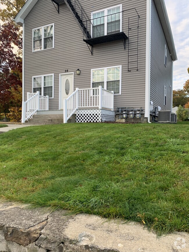
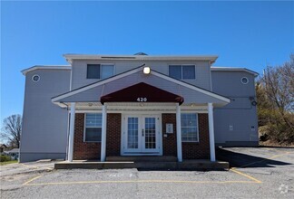
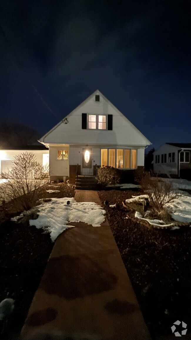
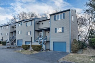
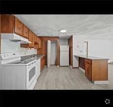
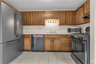
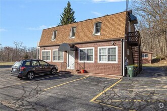
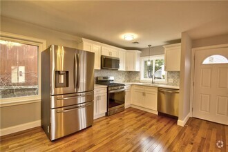
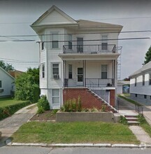
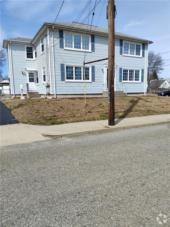
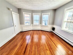
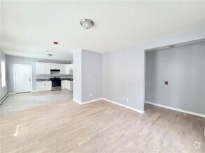
95 Apartamentos de renta en North Providence RI
-
-
-
-
-
-
-
-
-
-
-
-

-
-
-
-
-
-
-
-
-
-
-
-
-
-
-
-
-
-
-
-
-
-
-
-
-
-
-
-
-
-
Se muestran 40 de 61 resultados - Página 1 de 2


Encuentra el apartamento perfecto en North Providence, RI
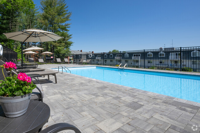
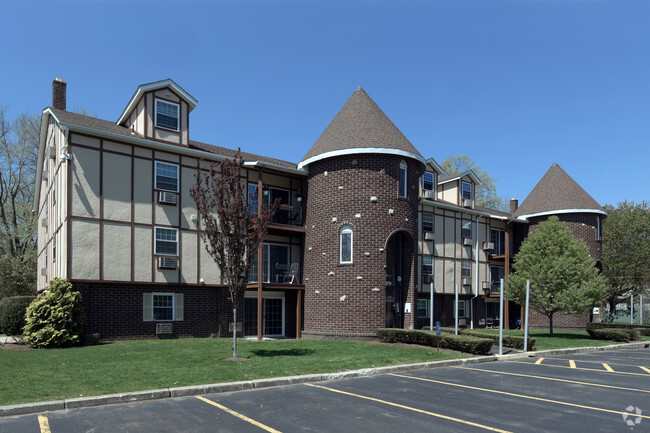
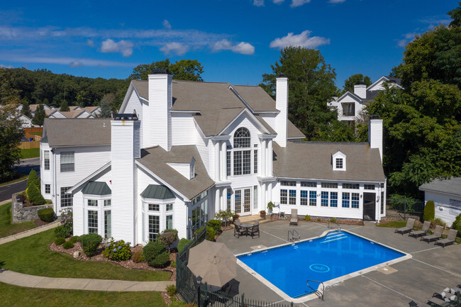
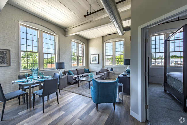
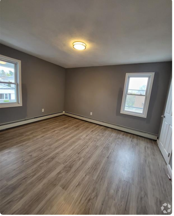
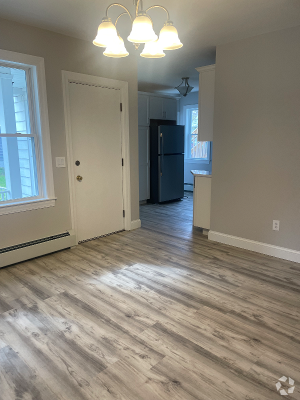
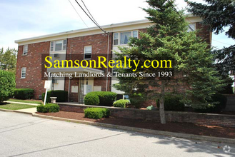
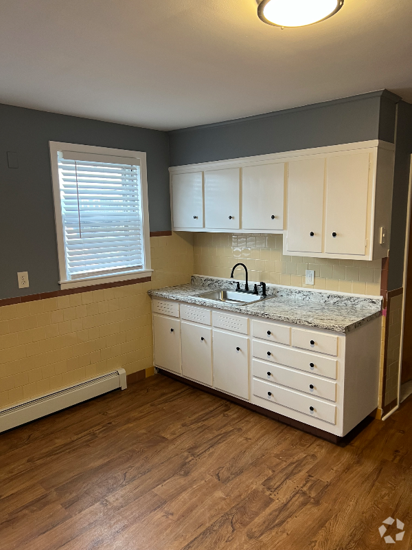
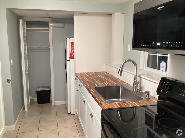
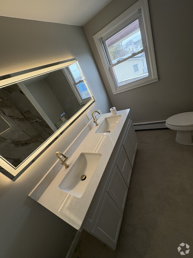
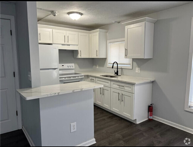
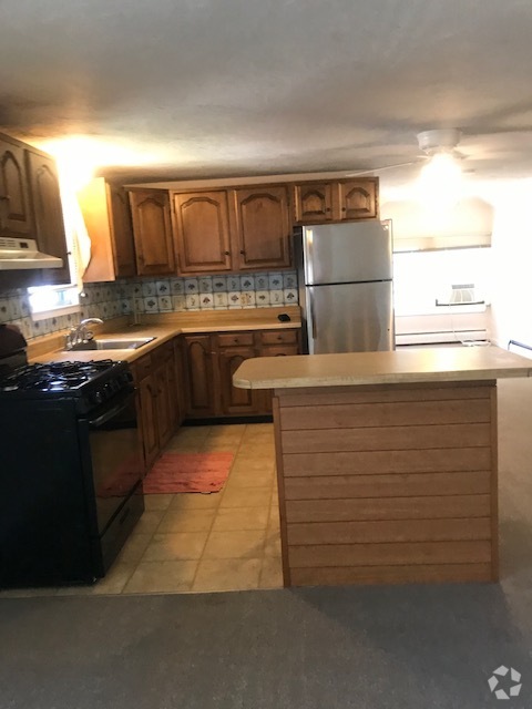
Apartamentos de renta en North Providence RI
North Providence is located just a few miles from bustling Downtown Providence with easy access to major highways. This welcoming town houses Rhode Island College, famously the most affordable college in New England. The North Providence School District offers high-ranking public schools like Centredale Elementary School to residents. Community parks are spread all across town including the dog-friendly Wanskuck Park. Local restaurants are a staple to the North Providence Community. Spice things up at Los Andes with their Peruvian and Bolivian cuisine, or check out the weekly specials at long-standing, family-owned Twin’s Pizza.
There’s a wide range of apartments available for rent in the area, from modern lofts to towering apartment communities in historic skyscrapers, so be sure the find the perfect rental for you and start enjoying the perks of living in North Providence.
Información sobre alquileres en North Providence, RI
Promedios de Alquiler
¿Cuál es el precio promedio de renta en North Providence, RI?
El alquiler medio en North Providence es de $1,698. Cuando alquilas un apartamento en North Providence, puedes esperar pagar $1,623 como mínimo o $1,940 como máximo, dependiendo de la ubicación y el tamaño del apartamento.
¿Cuál es el precio promedio de renta de un estudio en North Providence, RI?
El precio promedio de renta de un estudio en North Providence, RI es $1,623 por mes.
¿Cuál es el precio promedio de renta de un apartamento de 1 habitación en North Providence, RI?
El precio promedio de renta de un apartamento de una habitacion en North Providence, RI es $1,698 por mes.
¿Cuál es el precio promedio de renta de un apartamento de 2 habitaciónes en North Providence, RI?
El precio promedio de renta de un apartamento de dos habitaciones en North Providence, RI es $1,940 por mes.
¿Cuál es el precio promedio de renta de un apartamento de 3 habitaciónes en North Providence, RI?
El precio promedio de renta de un apartamento de tres habitaciones en North Providence, RI es $1,833 por mes.
Educación
¿Qué colegios y universidades hay en North Providence, RI?
Si eres un estudiante que se muda a un apartamento en North Providence, tendrás acceso a Rhode Island College, Providence College, y C.C. of Rhode Island, Downcity.