4525.5 San Carlos Ave
Oakland, CA 94601
-
Bedrooms
1
-
Bathrooms
1
-
Square Feet
650 sq ft
-
Available
Available Mar 8
Highlights
- Hardwood Floors
- Fenced Lot
About This Home
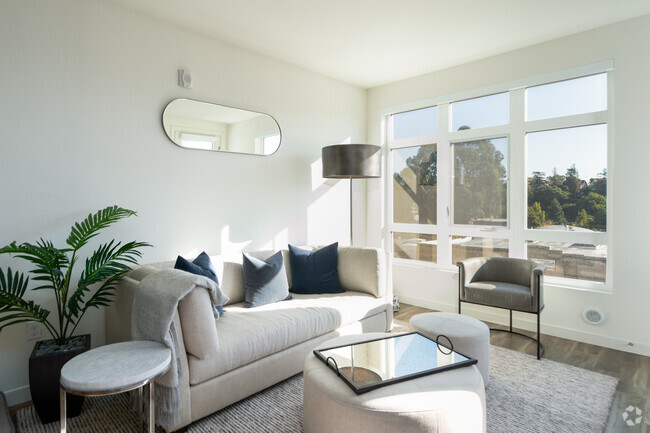
Property Id: 1757681 GARDEN APT HAS NATURAL LIGHT, LOTS OF STORAGE,YARD RIGHT OUTSIDE. CONVENIENTLY LOCATED ON QUIET STREET. 3-5MIN TO ALAMEDA, LAUREL DISTRICT & BART 3-5 MIN TO HWY 880, 580 & 13 TEXT FOR APPT.
4525.5 San Carlos Ave is a house located in Alameda County and the 94601 ZIP Code. This area is served by the Oakland Unified attendance zone.
House Features
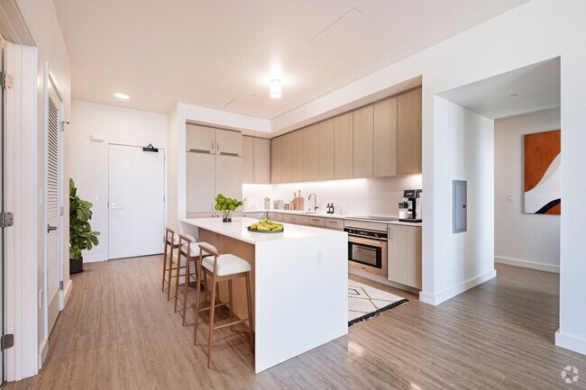
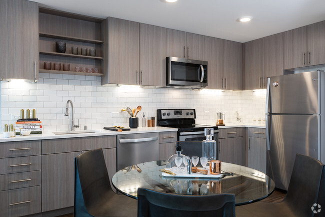
- Oven
- Refrigerator
- Hardwood Floors
- Fenced Lot
Fees and Policies
The fees below are based on community-supplied data and may exclude additional fees and utilities.
- Cats Allowed
-
Fees not specified
-
Weight limit--
-
Pet Limit--
Details
Utilities Included
-
Water
-
Trash Removal
-
Sewer
Contact
- Listed by Laura Cajina
- Phone Number (510) 228-2601
- Contact
-
Source
- Oven
- Refrigerator
- Hardwood Floors
- Fenced Lot
Middle East Oakland sits as a collection of neighborhoods west of Interstate 580, including Havenscourt, Lockwood Gardens, Maxwell Park, Melrose, Millsmont, Oakmore, Ridgemont, and Seminary.
The area features a variety of residential homes that have developed over 100 years. Mills College rests centrally to Middle East Oakland, with some students living within the area. Many residents choose Middle East Oakland for easy commuting access into downtown Oakland, Oracle Arena, and the Oakland International Airport.
Middle East Oakland lies six miles southeast to downtown Oakland and 15 miles east of San Francisco.
Learn more about living in Middle East OaklandColleges & Universities | Distance | ||
---|---|---|---|
Colleges & Universities | Distance | ||
Drive: | 6 min | 2.1 mi | |
Drive: | 7 min | 3.7 mi | |
Drive: | 9 min | 5.2 mi | |
Drive: | 12 min | 6.4 mi |
Transportation options available in Oakland include Fruitvale Station, located 1.2 miles from 4525.5 San Carlos Ave. 4525.5 San Carlos Ave is near Metro Oakland International, located 6.2 miles or 10 minutes away, and San Francisco International, located 27.6 miles or 40 minutes away.
Transit / Subway | Distance | ||
---|---|---|---|
Transit / Subway | Distance | ||
|
Drive: | 2 min | 1.2 mi |
|
Drive: | 5 min | 2.5 mi |
|
Drive: | 7 min | 4.5 mi |
|
Drive: | 8 min | 5.1 mi |
|
Drive: | 8 min | 5.4 mi |
Commuter Rail | Distance | ||
---|---|---|---|
Commuter Rail | Distance | ||
|
Drive: | 7 min | 4.5 mi |
|
Drive: | 12 min | 8.6 mi |
|
Drive: | 15 min | 10.7 mi |
|
Drive: | 16 min | 11.4 mi |
Airports | Distance | ||
---|---|---|---|
Airports | Distance | ||
Metro Oakland International
|
Drive: | 10 min | 6.2 mi |
San Francisco International
|
Drive: | 40 min | 27.6 mi |
Time and distance from 4525.5 San Carlos Ave.
Shopping Centers | Distance | ||
---|---|---|---|
Shopping Centers | Distance | ||
Walk: | 8 min | 0.4 mi | |
Walk: | 11 min | 0.6 mi | |
Drive: | 3 min | 1.2 mi |
Parks and Recreation | Distance | ||
---|---|---|---|
Parks and Recreation | Distance | ||
Roberts Regional Recreation Area
|
Drive: | 11 min | 4.8 mi |
Lakeside Park
|
Drive: | 7 min | 5.0 mi |
Martin Luther King Jr. Regional Shoreline
|
Drive: | 10 min | 5.2 mi |
Chabot Space & Science Center
|
Drive: | 13 min | 5.4 mi |
Joaquin Miller Park
|
Drive: | 13 min | 5.6 mi |
Hospitals | Distance | ||
---|---|---|---|
Hospitals | Distance | ||
Drive: | 4 min | 1.9 mi | |
Drive: | 8 min | 3.3 mi | |
Drive: | 6 min | 3.4 mi |
Military Bases | Distance | ||
---|---|---|---|
Military Bases | Distance | ||
Drive: | 16 min | 7.9 mi | |
Drive: | 16 min | 8.1 mi |
You May Also Like
What Are Walk Score®, Transit Score®, and Bike Score® Ratings?
Walk Score® measures the walkability of any address. Transit Score® measures access to public transit. Bike Score® measures the bikeability of any address.
What is a Sound Score Rating?
A Sound Score Rating aggregates noise caused by vehicle traffic, airplane traffic and local sources