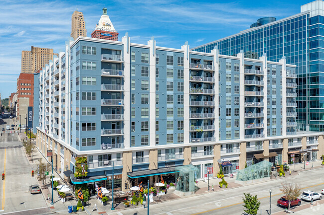
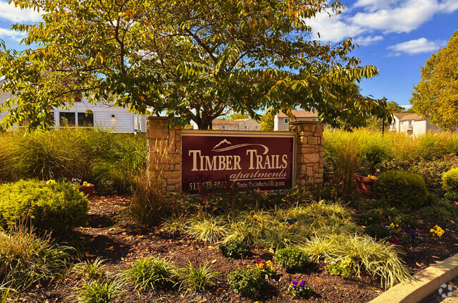
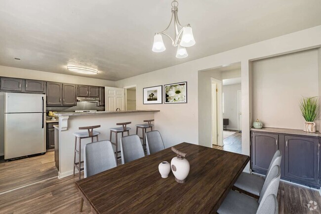
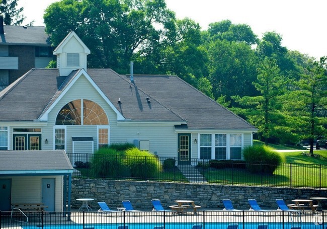
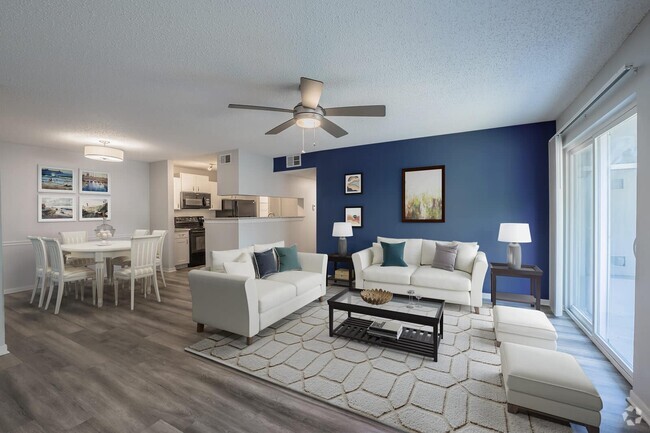
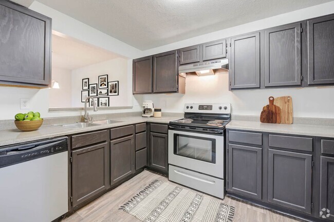
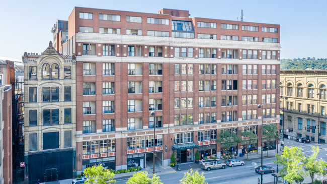
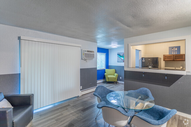
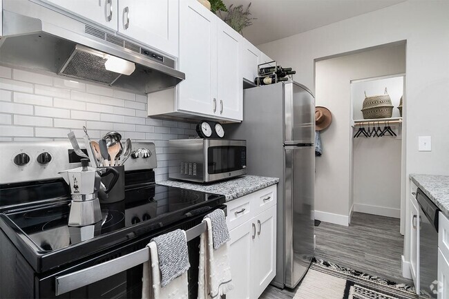
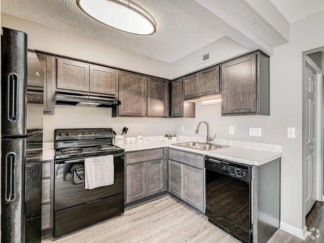
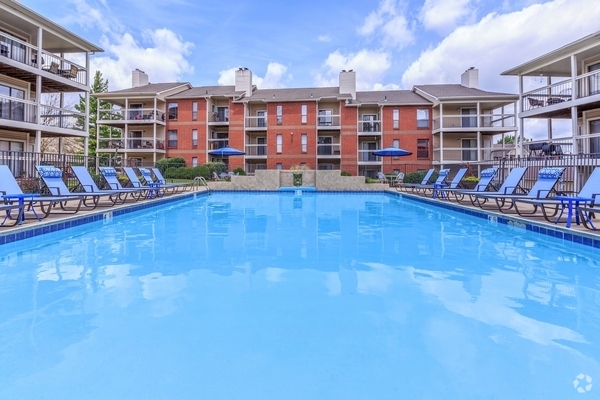
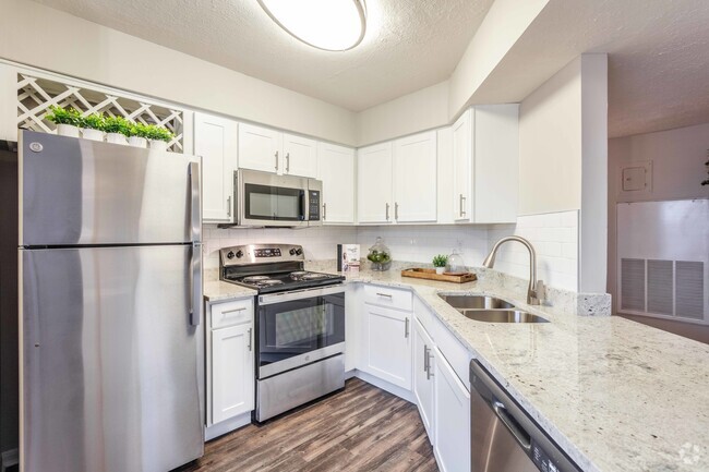
5,335 Apartamentos de renta en Cincinnati OH
-
-
-
-
-
-
-
-
-
-
-
-
-
-
-
-
-
-
-
-
-
-
-
-
-
-
-
-
-
-
-
-
-
-
-
-
-
-
-
-
-
Se muestran 40 de 700 resultados - Página 1 de 18


Encuentra el apartamento perfecto en Cincinnati, OH
Apartamentos de renta en Cincinnati OH
Como una de las ciudades más antiguas de los Estados Unidos al oeste de los Apalaches, Cincinnati ofrece a los residentes la oportunidad de ver la historia de cada día en los vecindarios, las oficinas o tu viaje diario. Simplemente porque'Ya del histórico'no significa que's de edad, sin embargo, como esta ciudad es uno de los más jóvenes en el país debido a la cantidad de estudiantes, profesionales, artistas y músicos que vienen a la esquina sudoeste de Ohio para vivir y trabajar.
Apartments en alquiler en Cincinnati, OH
Con una concentración área del centro de la ciudad, amplia zona residencial y una gran cantidad de ciudades intermedias, allí's lugares para vivir en la zona para todos los que desean vivir cerca del centro de la ciudad o al aire libre más cerca a la campiña. Los inquilinos cuentan para el estado viniendo next-to-downtown vecindario de Más de The Rin, donde gentrificación de los edificios más antiguos dio como resultado muy económico áreas de estar junto a restaurantes de moda, bares y tiendas. Además de salida, el distrito de iluminado con lámparas Clifton tiene homes grandes y apartamentos para alquiler en la apartada, vecindarios tranquilos, justo junto a la Universidad de Cincinnati y Cincinnati State Community College.
Vecindarios populares en Cincinnati, OH
Conduzca alrededor de Cincinnati y tú'll ver una gran cantidad de la diversidad y el cambio. La ciudad se enorgullece de tu estancia al día mientras mantiene la tradición, lo cual significa que tú'll ver una casa que's un siglo de antigüedad ubicado justo junto a un nuevo edificio steel-and-glass. Aunos pocos millas/ millas al norte del centro de la ciudad es uno de los vecindarios mejor clasificadas, Indian Hills, donde las propiedades mantener una excelente relación entre precio y calidad, y los sistemas escolares son algunos de los mejores en todo el estado. Quienes deseen menos costoso áreas de estar, pero una gran cantidad de buen gusto vivir frente al río en Newport, Kentucky, que es un estado de distancia, pero a solo un cuarto de milla del centro de la ciudad, y cerca de las principales atracciones como the Levee y lanchas de río.
Atracciones culturales en Cincinnati, OH
Una larga historia de Alemania los colonos en Cincinnati se ha convertido en un importante tesoro oculto para todas las personas que gustan de cervezas y salchichas. Cada año, la ciudad's Oktoberfest celebra la herencia alemana, que cuenta con los mejores sabores de los restaurantes de la ciudad (de descuento en todos los tipos, no solo de la cocina alemana) y las mejores cervezas hechas por la ciudad's famosas cervecerías como Moerlein. Una vez que'Hemos tenido suficiente para comer y beber, disfrutar de los sitios históricos como el Brewery District, donde puedes ver la producción que han presentado una infinidad de barriles de cervezas desde la fundación de la ciudad en 1788. Las excursiones le admiten ver las antiguas bodegas y pasajes, donde puedes imaginar la vida de los propietarios y los trabajadores de siglos pasados. Dirígete hacia el oeste en dirección a Findlay Market, el estado'más antiguo mercado al aire libre, para comprar de todo, desde huevos a bufandas Ohio-raised o mermelada casera.
Gastronomía en Cincinnati, OH
Con una gran contingentes de restaurantes nuevos surgiendo por cada año en la ciudad reina, allí'Siempre un nuevo restaurante en todo el mundo's los gustos. No importa adónde viaje, sin embargo, no's los más feroces debatir sobre el mejor sitio de chile. Puedes probar la comida rápida de chile restaurantes para disfrutar de un tratamiento rápido, pero para disfrutar de un verdadero manjar pruebe la ciudad Pleasant Ridge chile, considerado el mejor en toda la ciudad. Aquellas personas que desean mucho más que la carne en tu dieta pueden pasar por Batas de felpa's Turf Club para algunas de los mayores y mejores hamburguesas de la ciudad, el área de los tres estados, como el monstruo filet mignon hamburguesa. Por último, pruebe la ciudad's especialidades plato de carne de cerdo, goetta, una salchicha con avena y especias.
Deportes en Cincinnati, OH
Al igual que cualquier ciudad importante, Cincinnatians gustan de los equipos deportivos profesionales, incluso si paraíso't tenido mucho éxito en cualquier momento en las últimas décadas. The NFL's Bengals se realizó recientemente las semifinales detrás de la gran ciudad natal de temporada de Andy Dalton, inducir black-and-orange-clad a los fanáticos van a Paul Brown Stadium. Durante el verano, de las grandes ligas de béisbol's Reds a el menudo jugar a multitudes de agotado en el Great American Ballpark, con la ciudad animados con la parte superior toletero Adam Dunn. Aunque deportes profesionales son un gran atracción, que toma el segundo lugar para the festival anual Cross-town Shootout entre los equipos de básquetbol de la Universidad de Cincinnati y la Universidad Xavier, con presumir durante cada equipo y base de fans ha dictado cada año.
Compras en Cincinnati, OH
Puedes encontrar una gran variedad de excelentes opciones para comprar de todo, desde ropa hasta libros de comidas exóticas en la ciudad reina. Al otro lado del río del centro de la ciudad yace Newport on the Levee, donde docenas de tiendas competir con una sala de cine, club de comedias, sala de juegos y acuario para la atención (y dólares) de los compradores. Si desea elenco de lado tu rutina habitual de las supermercados, conduzca hasta Jungle Jims para ver todas las comidas del mundo en un solo lugar: un centro comercial que's del tamaño de un centro comercial, lleno de atracciones turísticas como el pescado que se extrae del río y al mar, carnes importadas de África y Asia, una habitación dedicada a salsas calientes, y una bodega de vinos, que cuenta con botellas de las ventas al por menor para tanto como los $5.000.
Vida nocturna en Cincinnati, OH
Golpear la ciudad de Cincinnati siempre le ofrece una gran cantidad de momentos inolvidables. Acceso a llamadas locales y nacionales banda en vivo actos que puedes verse en el Thompson House, que cuenta con cuatro diferentes bares y pueden acompañar a cientos de los espectadores. Neon's Unplugged es uno de los mejores lugares de la ciudad para disfrutar de espectáculos en vivo, así como noches de preguntas y respuestas, y es conocida por el jenga gigante estatua lugares al aire libre (que se convierte en la calle mucho más difícil se congregan luego de unos de tus especialidades de bebidas).
Información sobre alquileres en Cincinnati, OH
Promedios de Alquiler
¿Cuál es el precio promedio de renta en Cincinnati, OH?
El alquiler medio en Cincinnati es de $1,101. Cuando alquilas un apartamento en Cincinnati, puedes esperar pagar $1,095 como mínimo o $1,671 como máximo, dependiendo de la ubicación y el tamaño del apartamento.
¿Cuál es el precio promedio de renta de un estudio en Cincinnati, OH?
El precio promedio de renta de un estudio en Cincinnati, OH es $1,095 por mes.
¿Cuál es el precio promedio de renta de un apartamento de 1 habitación en Cincinnati, OH?
El precio promedio de renta de un apartamento de una habitacion en Cincinnati, OH es $1,101 por mes.
¿Cuál es el precio promedio de renta de un apartamento de 2 habitaciónes en Cincinnati, OH?
El precio promedio de renta de un apartamento de dos habitaciones en Cincinnati, OH es $1,391 por mes.
¿Cuál es el precio promedio de renta de un apartamento de 3 habitaciónes en Cincinnati, OH?
El precio promedio de renta de un apartamento de tres habitaciones en Cincinnati, OH es $1,671 por mes.
Educación
¿Qué colegios y universidades hay en Cincinnati, OH?
Si eres un estudiante que se muda a un apartamento en Cincinnati, tendrás acceso a Cincinnati State, University of Cincinnati, y Univ. of Cincinnati, Medical.
Busquedas Cercanas de Alquileres
Ciudades
Vecindarios
Casas
Alquileres de casas adosadas ...
- Price Hill casas adosadas para alquilar
- Avondale casas adosadas para alquilar
- Ludlow casas adosadas para alquilar
- Saint Bernard casas adosadas para alquilar
- Evanston casas adosadas para alquilar
- Delhi casas adosadas para alquilar
- Cheviot casas adosadas para alquilar
- Bellevue casas adosadas para alquilar
- Elmwood Place casas adosadas para alquilar
Alquileres de condominios cerca ...
- Price Hill condominios para alquilar
- Avondale condominios para alquilar
- Ludlow condominios para alquilar
- Saint Bernard condominios para alquilar
- Evanston condominios para alquilar
- Delhi condominios para alquilar
- Cheviot condominios para alquilar
- Bellevue condominios para alquilar
- Elmwood Place condominios para alquilar