49 S 14th St
Pittsburgh, PA 15203
-
Bedrooms
1
-
Bathrooms
1.5
-
Square Feet
--
-
Available
Available Now
Highlights
- Double Pane Windows
- Forced Air Heating and Cooling System
![Property Management Company Logo](https://www.apartments.com/a/775e0d/content/images/fallbackimage.png)
About This Home
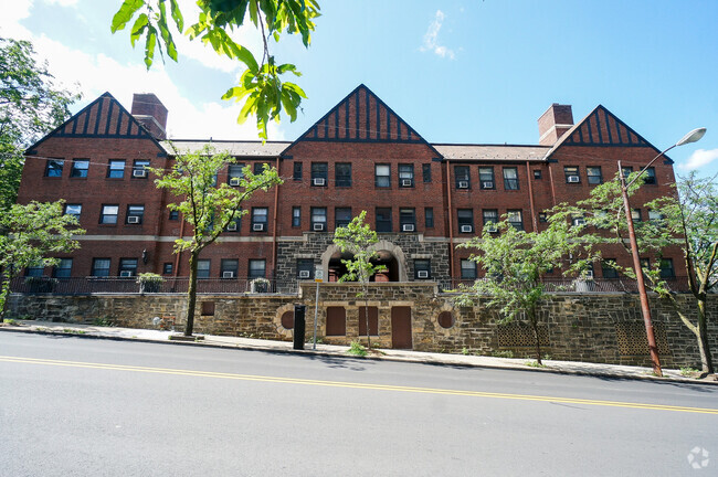
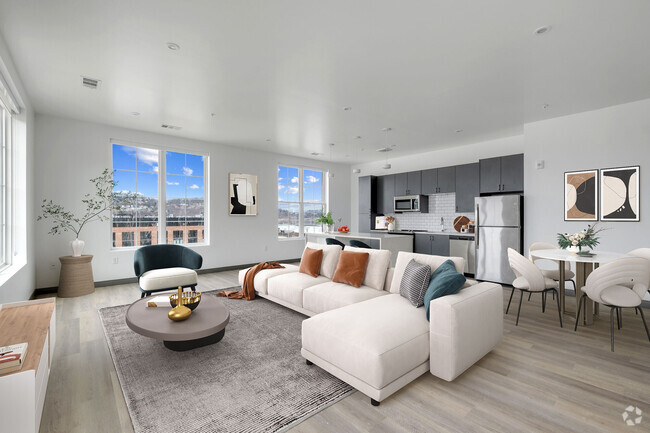
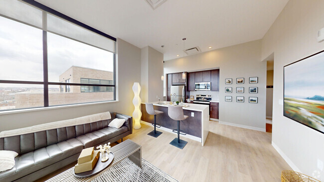
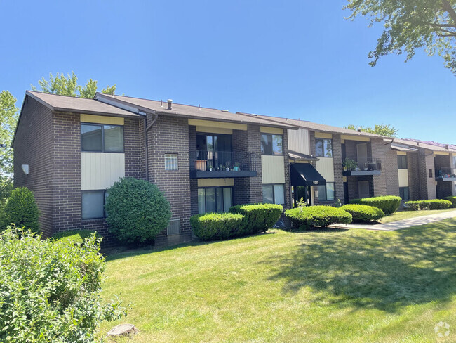
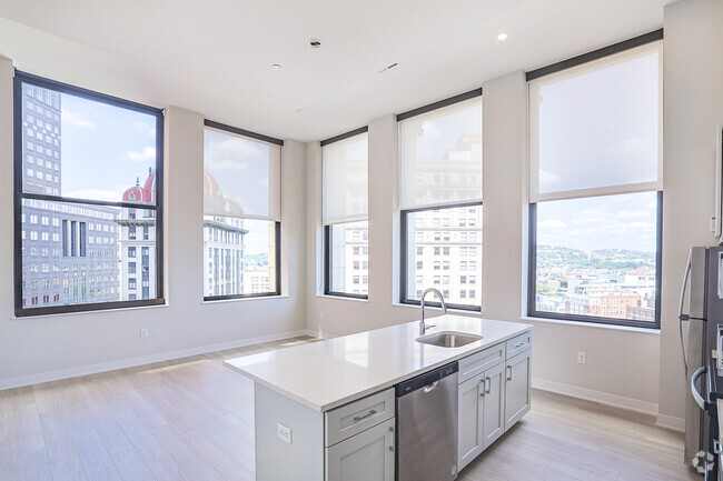
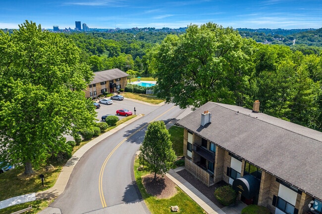
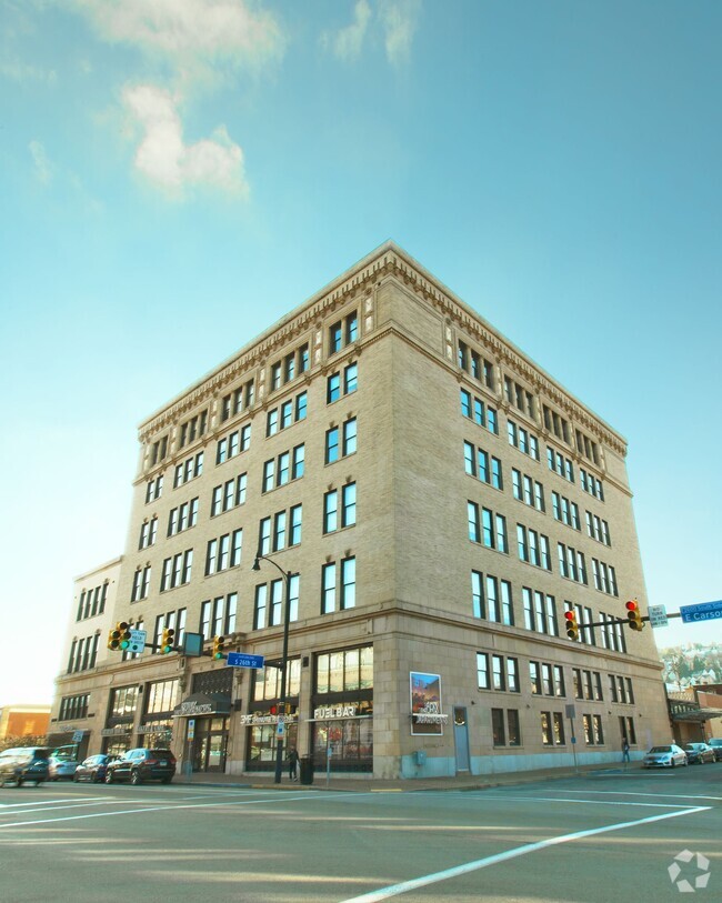
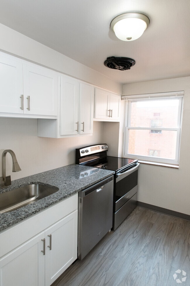
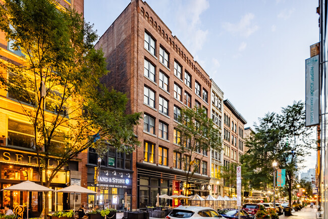
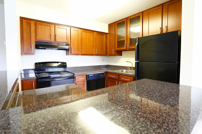
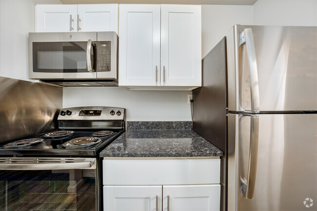
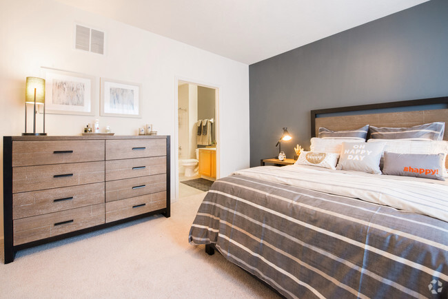
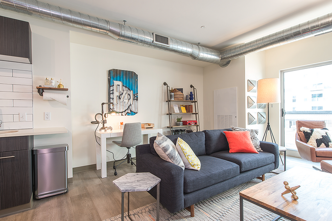
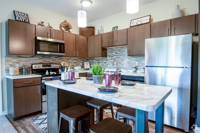
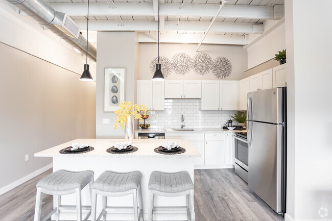
Welcome to 49 S 14th St... a wonderful blend of old and new! This apartment is a one-of-a-kind, loft in the heart of the Southside Flats. Located on the second floor of a former horse-and-buggy firehouse, the apartment is two stories full of character and custom features. The kitchen has original tin ceilings, plenty of storage, quality appliances, and a custom-built dining table. The main floor also includes a balcony, powder room, and a large living area with exposed brick and wood beams. Up in the hay-loft-turned-bedroom, the old-world charm continues through the master bedroom and ensuite bathroom. Large windows make for exceptional views of Pittsburgh’s skyline. Less than one block from the building is E Carson St, filled with entertainment, transportation, and essentials. Laundry on the floor shared with Apt 1, 2nd floor unit, no elevator in the building. Permitted street parking, with other parking options available.
49 S 14th St is an apartment community located in Allegheny County and the 15203 ZIP Code.
Home Details
Bedrooms and Bathrooms
Home Design
Interior Spaces
Kitchen
Listing and Financial Details
Parking
Utilities
Community Details
Overview
Pet Policy
Contact
- Listed by Jamie Rose Montesano
- Phone Number (412) 363-4000
- Contact
-
Source
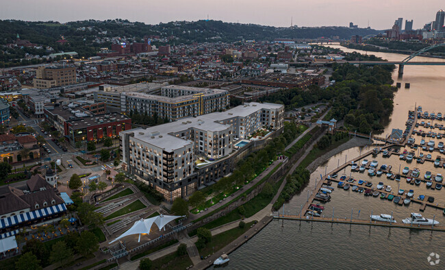
Southside Flats is one of two neighborhoods that make up Pittsburgh's dynamic Southside. The primarily residential neighborhood is located at the base Mount Washington, Southside's enormous hill. It also sits right under the Southside Slopes, the other Southside neighborhood, which runs precariously up the hillside. Residents of the Flats have convenient access to the hottest shopping and nightlife district in Pittsburgh, as well as riverfront trails and parks.
The lively neighborhood lies south of the Monongahela River and south of East Carson Street, known as the "Great American Main Street." One of Pittsburgh's major commercial corridors, East Carson Street offers 15 blocks of Victorian architecture, boutiques, restaurants, bars, art galleries, theatres, and live music venues.
Southside has experienced a residential renaissance, as older 19th-century homes, abandoned factories, and mills are being renovated into modern houses, apartments, and luxury lofts.
Learn more about living in Southside FlatsColleges & Universities | Distance | ||
---|---|---|---|
Colleges & Universities | Distance | ||
Drive: | 4 min | 1.5 mi | |
Drive: | 4 min | 1.8 mi | |
Drive: | 4 min | 1.9 mi | |
Drive: | 7 min | 2.2 mi |
Transportation options available in Pittsburgh include Station Square, located 1.2 miles from 49 S 14th St. 49 S 14th St is near Pittsburgh International, located 18.6 miles or 29 minutes away, and Arnold Palmer Regional, located 42.5 miles or 68 minutes away.
Transit / Subway | Distance | ||
---|---|---|---|
Transit / Subway | Distance | ||
|
Drive: | 2 min | 1.2 mi |
|
Drive: | 3 min | 1.3 mi |
|
Drive: | 4 min | 1.6 mi |
|
Drive: | 4 min | 1.7 mi |
|
Drive: | 6 min | 2.5 mi |
Commuter Rail | Distance | ||
---|---|---|---|
Commuter Rail | Distance | ||
|
Drive: | 5 min | 1.8 mi |
|
Drive: | 52 min | 33.0 mi |
|
Drive: | 64 min | 39.4 mi |
|
Drive: | 66 min | 49.2 mi |
Airports | Distance | ||
---|---|---|---|
Airports | Distance | ||
Pittsburgh International
|
Drive: | 29 min | 18.6 mi |
Arnold Palmer Regional
|
Drive: | 68 min | 42.5 mi |
Time and distance from 49 S 14th St.
Shopping Centers | Distance | ||
---|---|---|---|
Shopping Centers | Distance | ||
Walk: | 9 min | 0.5 mi | |
Walk: | 10 min | 0.6 mi | |
Walk: | 14 min | 0.7 mi |
Parks and Recreation | Distance | ||
---|---|---|---|
Parks and Recreation | Distance | ||
Point State Park
|
Drive: | 6 min | 2.6 mi |
Children's Museum of Pittsburgh
|
Drive: | 7 min | 2.7 mi |
Carnegie Museum of Natural History
|
Drive: | 9 min | 2.9 mi |
Phipps Conservatory and Gardens
|
Drive: | 9 min | 3.0 mi |
Schenley Park
|
Drive: | 10 min | 3.4 mi |
Hospitals | Distance | ||
---|---|---|---|
Hospitals | Distance | ||
Drive: | 4 min | 1.5 mi | |
Drive: | 6 min | 2.1 mi | |
Drive: | 7 min | 2.3 mi |
Military Bases | Distance | ||
---|---|---|---|
Military Bases | Distance | ||
Drive: | 25 min | 17.1 mi |
You May Also Like
Similar Rentals Nearby
What Are Walk Score®, Transit Score®, and Bike Score® Ratings?
Walk Score® measures the walkability of any address. Transit Score® measures access to public transit. Bike Score® measures the bikeability of any address.
What is a Sound Score Rating?
A Sound Score Rating aggregates noise caused by vehicle traffic, airplane traffic and local sources