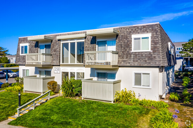
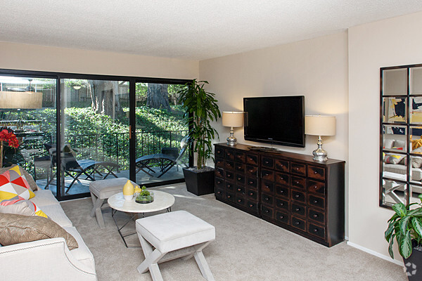
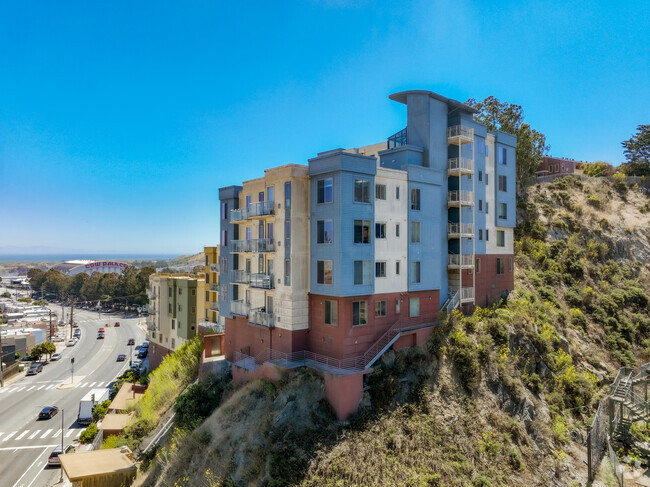
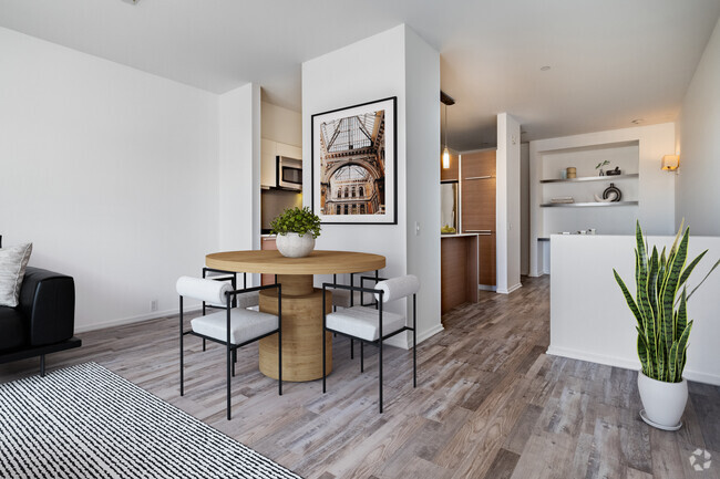
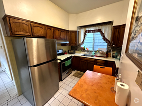
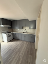
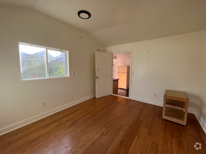
608 Apartamentos de renta en Daly City CA
Encuentra el apartamento perfecto en Daly City, CA
Apartamentos de renta en Daly City CA
Renting an apartment in Daly City, CA, puts you close to San Francisco while offering a quieter place to call home in the Bay Area. Neighborhoods like Westlake and Serramonte are popular among renters. Westlake is known for its proximity to shopping and dining, while Serramonte has convenient access to major highways and public transit. The city is well-connected, making it easy to get to work or explore nearby areas.
Commuting from Daly City is straightforward, whether you’re driving or using public transportation. Many residents rely on BART (Bay Area Rapid Transit), which can get you into San Francisco in about 20 minutes. Employment opportunities are diverse with many people working in education, tech, retail, and healthcare. The city itself has a mix of suburban and urban conveniences, with plenty of parks, grocery stores, and restaurants to explore.
Living in Daly City allows for a more relaxed pace compared to some of its busier neighbors, while still keeping you within reach of everything the Bay Area has to offer. Spend some time exploring the neighborhoods to find the right spot that fits your work and lifestyle needs.
Información sobre alquileres en Daly City, CA
Promedios de Alquiler
El alquiler medio en Daly City es de $2,328. Cuando alquilas un apartamento en Daly City, puedes esperar pagar $2,004 como mínimo o $3,732 como máximo, dependiendo de la ubicación y el tamaño del apartamento.
El precio promedio de renta de un estudio en Daly City, CA es $2,004 por mes.
El precio promedio de renta de un apartamento de una habitacion en Daly City, CA es $2,328 por mes.
El precio promedio de renta de un apartamento de dos habitaciones en Daly City, CA es $3,084 por mes.
El precio promedio de renta de un apartamento de tres habitaciones en Daly City, CA es $3,732 por mes.
Educación
Si eres un estudiante que se muda a un apartamento en Daly City, tendrás acceso a City College of San Francisco, San Francisco State University, y Skyline College.
Busquedas Cercanas de Alquileres
Ciudades
Vecindarios
Casas
Alquileres de casas adosadas ...
- Colma casas adosadas para alquilar
- South San Francisco casas adosadas para alquilar
- Brisbane casas adosadas para alquilar
- San Bruno casas adosadas para alquilar
- Pacifica casas adosadas para alquilar
- Millbrae casas adosadas para alquilar
- San Francisco casas adosadas para alquilar
- Burlingame casas adosadas para alquilar
- Hillsborough casas adosadas para alquilar
Alquileres de condominios cerca ...
- Colma condominios para alquilar
- South San Francisco condominios para alquilar
- Brisbane condominios para alquilar
- San Bruno condominios para alquilar
- Pacifica condominios para alquilar
- Millbrae condominios para alquilar
- San Francisco condominios para alquilar
- Burlingame condominios para alquilar
- Hillsborough condominios para alquilar

