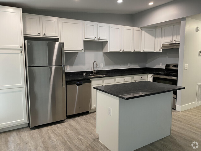
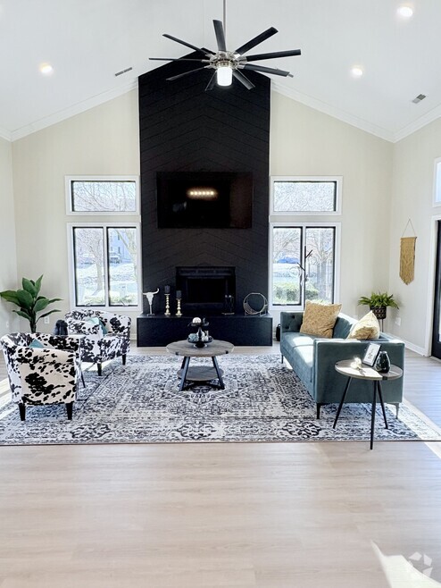
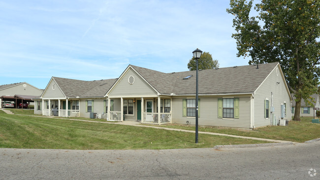
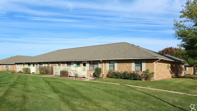
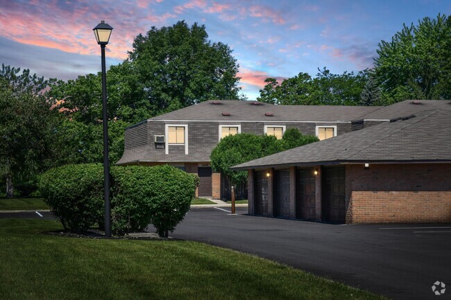
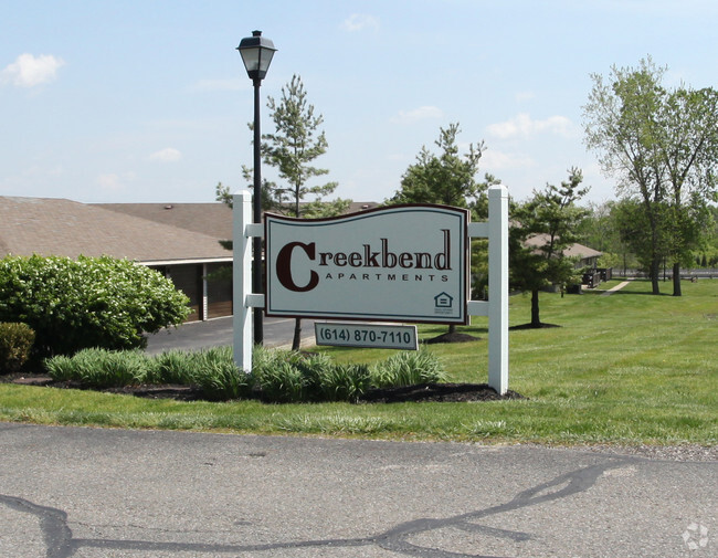
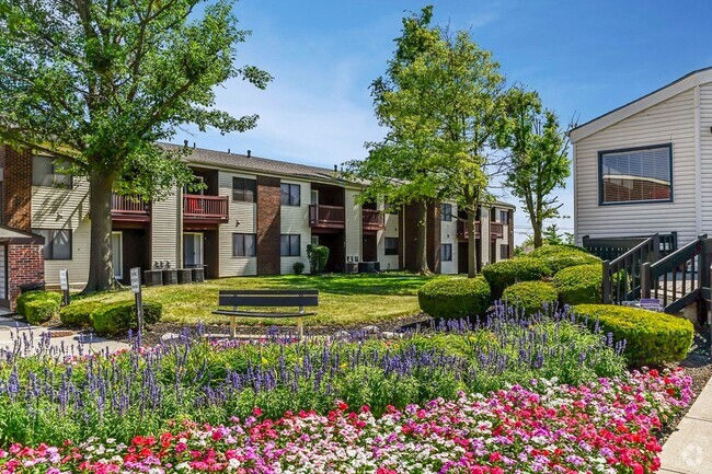
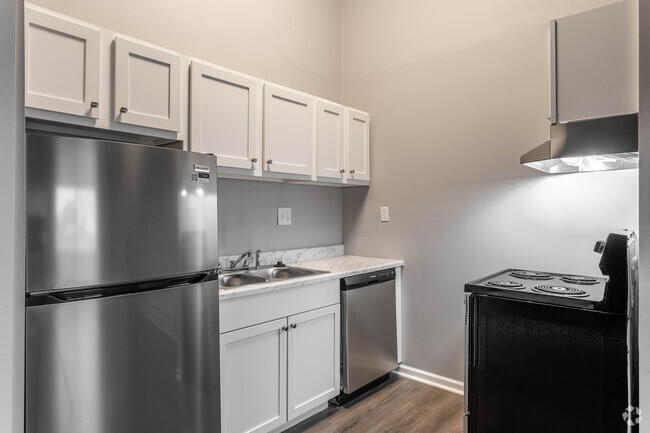
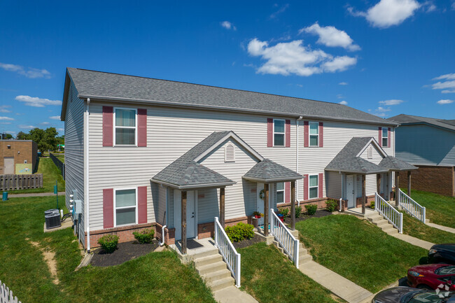
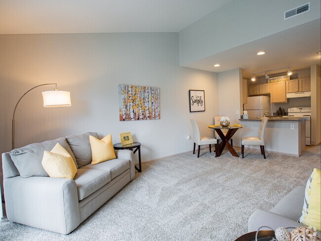
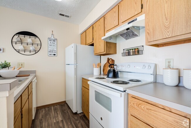
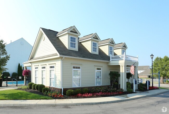
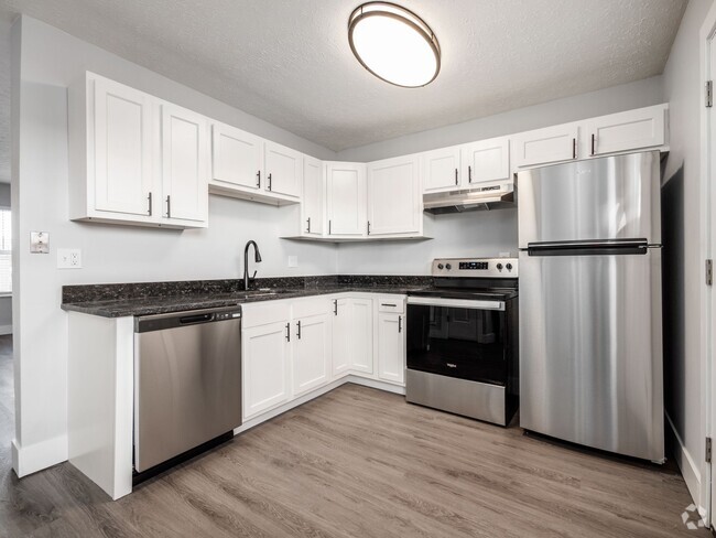
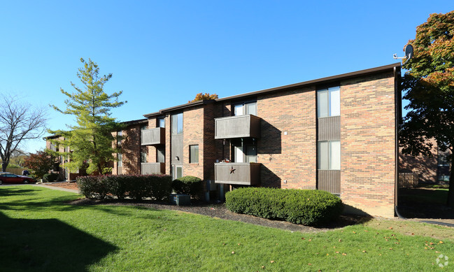
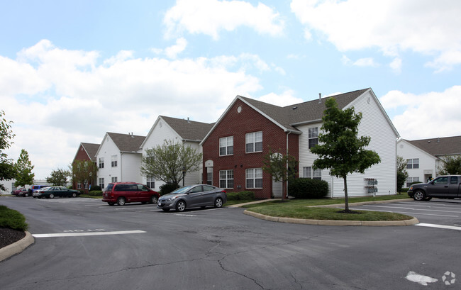
539 Apartamentos de renta en Galloway OH
-
-
-
-
-
-
-
-
-
-
-
1 / 11
-
-
-
-
-
-
-
-
-
-
-
1 / 28
-
-
-
-
-
-
-
-
-
-
-
-
-
-
-
-

-
-
-
-
Se muestran 40 de 78 resultados - Página 1 de 2


Encuentra el apartamento perfecto en Galloway, OH
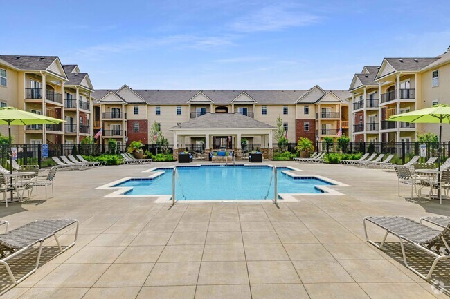
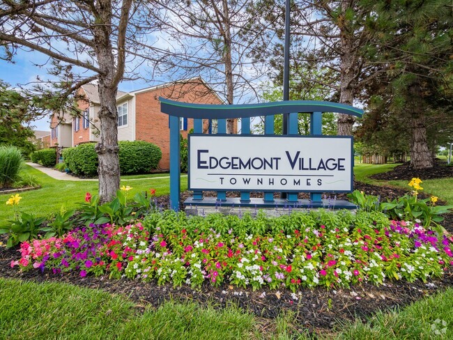
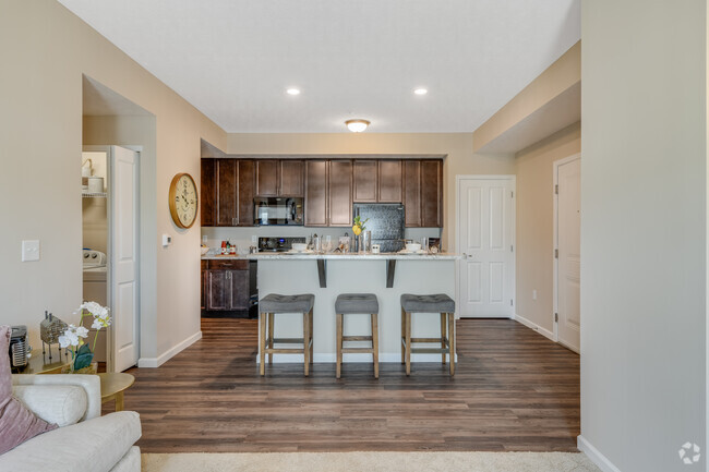
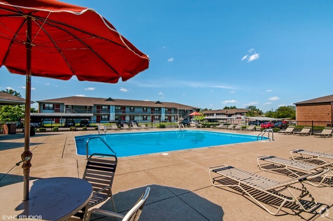
Apartamentos de renta en Galloway OH
Deja que Apartamentos.com te ayude a encontrar el lugar perfecto cerca de ti. Ya sea que busques un apartamento lujoso de dos habitaciones o un acogedor estudio, Apartamentos.com te ofrece una manera práctica de consultar el extenso inventario de apartamentos cerca de ti para descubrir el lugar al que deseas llamar tu hogar.
Información sobre alquileres en Galloway, OH
Promedios de Alquiler
¿Cuál es el precio promedio de renta en Galloway, OH?
El alquiler medio en Galloway es de $1,088. Cuando alquilas un apartamento en Galloway, puedes esperar pagar $782 como mínimo o $1,864 como máximo, dependiendo de la ubicación y el tamaño del apartamento.
¿Cuál es el precio promedio de renta de un estudio en Galloway, OH?
El precio promedio de renta de un estudio en Galloway, OH es $782 por mes.
¿Cuál es el precio promedio de renta de un apartamento de 1 habitación en Galloway, OH?
El precio promedio de renta de un apartamento de una habitacion en Galloway, OH es $1,087 por mes.
¿Cuál es el precio promedio de renta de un apartamento de 2 habitaciónes en Galloway, OH?
El precio promedio de renta de un apartamento de dos habitaciones en Galloway, OH es $1,360 por mes.
¿Cuál es el precio promedio de renta de un apartamento de 3 habitaciónes en Galloway, OH?
El precio promedio de renta de un apartamento de tres habitaciones en Galloway, OH es $1,864 por mes.
Educación
¿Qué colegios y universidades hay en Galloway, OH?
Si eres un estudiante que se muda a un apartamento en Galloway, tendrás acceso a Franklin University, Columbus Coll. of Art & Design, y Columbus State C.C., Columbus.