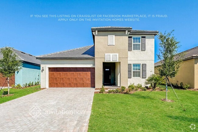
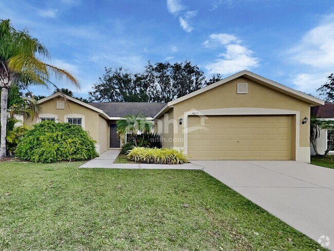
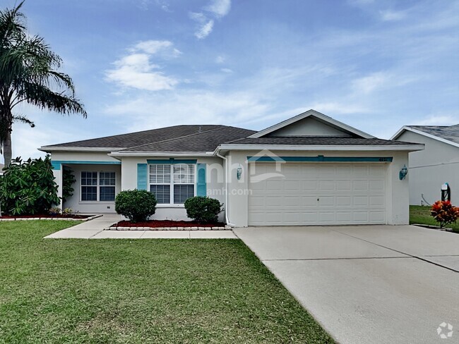
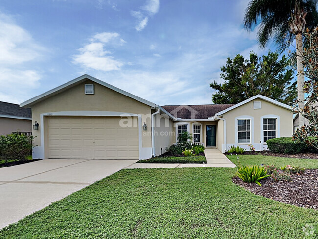
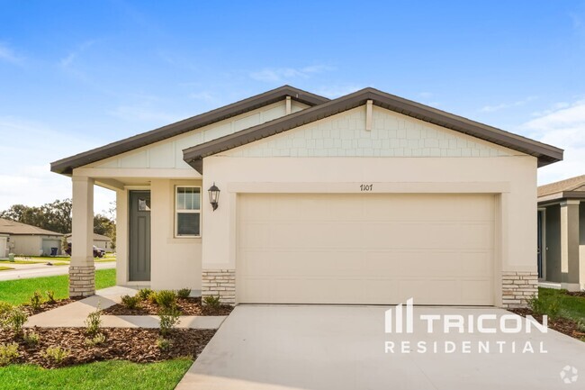
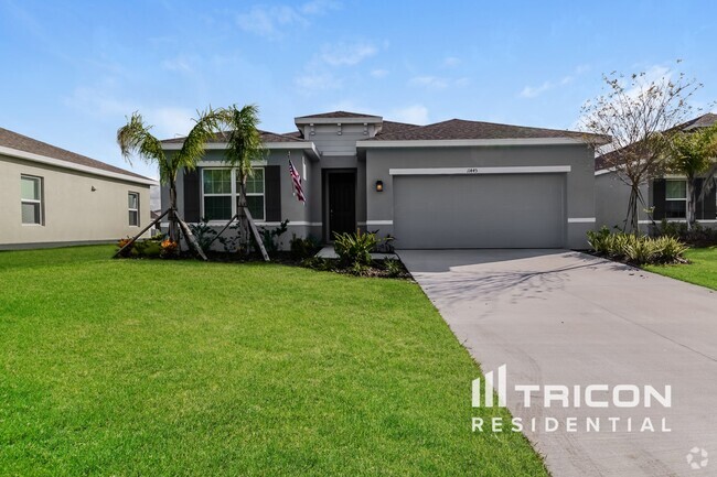
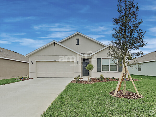
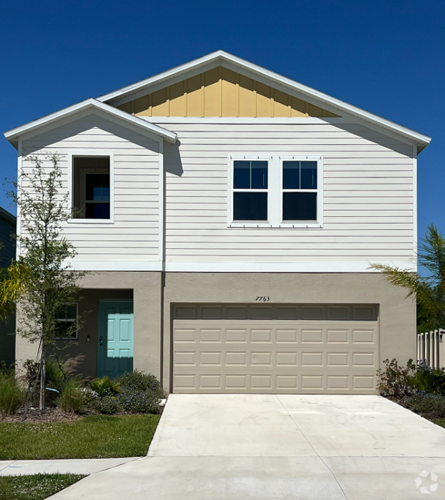
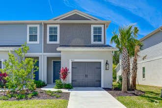
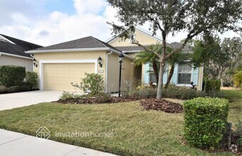
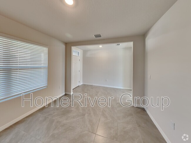
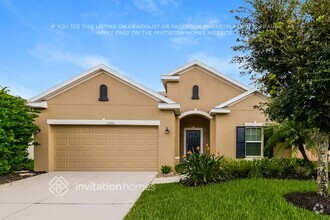
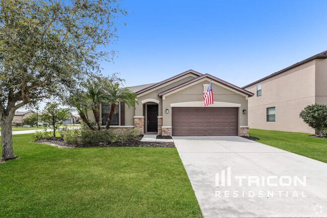
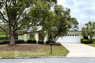
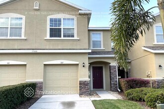
9219 Sandy Bluffs Circle
Parrish, FL 34219
-
Bedrooms
3
-
Bathrooms
2.5
-
Square Feet
1,908 sq ft
-
Available
Available Now
Highlights
- Built in 2024 | New Construction
- Clubhouse
- Community Pool
- Recreation Facilities
- 2 Car Attached Garage
- Walk-In Closet
About This Home
Gorgeous 3 bedroom 2 and half bath single-family home for rent in Parrish. Brand new with open floor plan and 2 car garage ready for immediate occupancy. Rent includes lawn service. Nice amenities include beach-entry pool and playground. Great location with easy commute to San Pete,Bradenton,Sarasota,Palmetto and Lakewood Ranch. Minutes to Ellenton Premium Outlets for shopping and dining. Zoned for school district of Manatee.
Unique Features
- NewConstruction
9219 Sandy Bluffs Circle is a house located in Manatee County and the 34219 ZIP Code. This area is served by the Manatee attendance zone.
Home Details
Home Type
Year Built
Bedrooms and Bathrooms
Home Design
Interior Spaces
Kitchen
Laundry
Listing and Financial Details
Lot Details
Parking
Schools
Utilities
Community Details
Amenities
Overview
Pet Policy
Recreation
Security
Contact
- Listed by Lucas Thompson
- Phone Number (941) 447-5077
- Contact
-
Source
- NewConstruction
Ellenton and Palmetto are neighboring communities in the heart of Manatee County between Tampa and Sarasota. Their proximity to the beach and charming atmosphere make both communities popular places for tourists and residents.
Ellenton is home to several dining options, including upscale restaurants, family-friendly diners, and casual sports bars. There are also plenty of shopping options including a few antique shops, convenience stores, and boutiques. Ellenton’s location along the Manatee River and proximity to the Terra Ceia Bay makes plenty of outdoor recreation available as well.
Next door in Palmetto more outdoor recreation thrives. Palmetto’s western border runs along the Terra Ceia Bay while its southern border follows along the Manatee River. Palmetto’s main commercial district is situated along 8th Avenue West; everything from fresh seafood to grocers are located off this road.
Learn more about living in Palmetto/EllentonColleges & Universities | Distance | ||
---|---|---|---|
Colleges & Universities | Distance | ||
Drive: | 33 min | 18.8 mi | |
Drive: | 30 min | 21.8 mi | |
Drive: | 37 min | 26.6 mi | |
Drive: | 37 min | 27.4 mi |
Transportation options available in Parrish include Whiting Street Station (#11), located 38.9 miles from 9219 Sandy Bluffs Circle. 9219 Sandy Bluffs Circle is near Sarasota/Bradenton International, located 21.2 miles or 36 minutes away, and St Pete-Clearwater International, located 37.8 miles or 54 minutes away.
Transit / Subway | Distance | ||
---|---|---|---|
Transit / Subway | Distance | ||
Drive: | 46 min | 38.9 mi | |
Drive: | 46 min | 39.0 mi | |
Drive: | 46 min | 39.1 mi | |
Drive: | 47 min | 39.2 mi |
Commuter Rail | Distance | ||
---|---|---|---|
Commuter Rail | Distance | ||
|
Drive: | 46 min | 38.7 mi |
Airports | Distance | ||
---|---|---|---|
Airports | Distance | ||
Sarasota/Bradenton International
|
Drive: | 36 min | 21.2 mi |
St Pete-Clearwater International
|
Drive: | 54 min | 37.8 mi |
Time and distance from 9219 Sandy Bluffs Circle.
Shopping Centers | Distance | ||
---|---|---|---|
Shopping Centers | Distance | ||
Drive: | 6 min | 3.4 mi | |
Drive: | 8 min | 4.4 mi | |
Drive: | 10 min | 5.5 mi |
Parks and Recreation | Distance | ||
---|---|---|---|
Parks and Recreation | Distance | ||
Florida Railroad Museum
|
Drive: | 4 min | 2.5 mi |
Little Manatee River State Park
|
Drive: | 18 min | 9.5 mi |
Gamble Plantation Historic State Park
|
Drive: | 15 min | 10.0 mi |
Bennett Park
|
Drive: | 18 min | 13.4 mi |
Camp Bayou Outdoor Learning Center
|
Drive: | 31 min | 18.6 mi |
Hospitals | Distance | ||
---|---|---|---|
Hospitals | Distance | ||
Drive: | 22 min | 13.5 mi | |
Drive: | 20 min | 14.2 mi | |
Drive: | 25 min | 15.7 mi |
Military Bases | Distance | ||
---|---|---|---|
Military Bases | Distance | ||
Drive: | 51 min | 38.0 mi | |
Drive: | 65 min | 48.1 mi | |
Drive: | 158 min | 81.7 mi |
You May Also Like
Similar Rentals Nearby
What Are Walk Score®, Transit Score®, and Bike Score® Ratings?
Walk Score® measures the walkability of any address. Transit Score® measures access to public transit. Bike Score® measures the bikeability of any address.
What is a Sound Score Rating?
A Sound Score Rating aggregates noise caused by vehicle traffic, airplane traffic and local sources